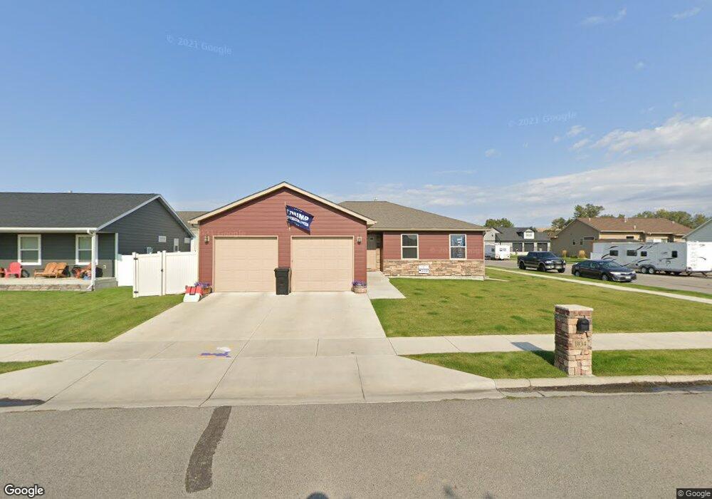
1104 Davis Cir Laurel, MT 59044
Estimated Value: $400,166 - $472,000
3
Beds
2
Baths
2,800
Sq Ft
$155/Sq Ft
Est. Value
About This Home
This home is located at 1104 Davis Cir, Laurel, MT 59044 and is currently estimated at $435,292, approximately $155 per square foot. 1104 Davis Cir is a home with nearby schools including West School, Fred W. Graff School, and Laurel Middle School.
Ownership History
Date
Name
Owned For
Owner Type
Purchase Details
Closed on
Dec 7, 2020
Sold by
Boggess Clint and Moorman Traci
Bought by
Boggess Clint and Boggess Traci
Current Estimated Value
Home Financials for this Owner
Home Financials are based on the most recent Mortgage that was taken out on this home.
Original Mortgage
$160,000
Outstanding Balance
$142,702
Interest Rate
2.8%
Mortgage Type
New Conventional
Estimated Equity
$292,590
Purchase Details
Closed on
May 29, 2014
Sold by
Amish Heritage Homes Inc
Bought by
Boggess Clint and Moorman Traci
Home Financials for this Owner
Home Financials are based on the most recent Mortgage that was taken out on this home.
Original Mortgage
$167,900
Interest Rate
4.25%
Mortgage Type
New Conventional
Purchase Details
Closed on
Aug 20, 2013
Sold by
Thomae Paul and Thomae Sandra L
Bought by
Amish Heritage Homes Inc
Create a Home Valuation Report for This Property
The Home Valuation Report is an in-depth analysis detailing your home's value as well as a comparison with similar homes in the area
Home Values in the Area
Average Home Value in this Area
Purchase History
| Date | Buyer | Sale Price | Title Company |
|---|---|---|---|
| Boggess Clint | -- | First Montana Title Co | |
| Boggess Clint | -- | American Title & Escrow | |
| Amish Heritage Homes Inc | -- | None Available |
Source: Public Records
Mortgage History
| Date | Status | Borrower | Loan Amount |
|---|---|---|---|
| Open | Boggess Clint | $160,000 | |
| Closed | Boggess Clint | $167,900 |
Source: Public Records
Tax History
| Year | Tax Paid | Tax Assessment Tax Assessment Total Assessment is a certain percentage of the fair market value that is determined by local assessors to be the total taxable value of land and additions on the property. | Land | Improvement |
|---|---|---|---|---|
| 2025 | $3,140 | $404,100 | $74,200 | $329,900 |
| 2024 | $3,140 | $329,800 | $68,011 | $261,789 |
| 2023 | $2,887 | $329,800 | $68,011 | $261,789 |
| 2022 | $2,763 | $302,700 | $0 | $0 |
| 2021 | $2,787 | $302,700 | $0 | $0 |
| 2020 | $2,724 | $291,400 | $0 | $0 |
| 2019 | $2,670 | $291,400 | $0 | $0 |
| 2018 | $2,692 | $272,600 | $0 | $0 |
| 2017 | $2,552 | $272,600 | $0 | $0 |
| 2016 | $2,354 | $251,300 | $0 | $0 |
| 2015 | $2,326 | $251,300 | $0 | $0 |
| 2014 | $1,998 | $110,929 | $0 | $0 |
Source: Public Records
Map
Nearby Homes
- 1712 Paynes Place
- TBD Block 3 Lot 6
- 1014 Rochelle Ln
- 1013 W 12th St
- 1109 10th Ave
- 1216 W 12th Street Cir
- 1254 W Beartooth Dr
- 310 (and 814 w 4) 8th Ave
- 102 8th Ave Unit B
- 603 5th Ave
- 319 6th Ave
- 1735 Lobo Dr
- 1319 Valley Dr
- 1960 Coyote Ridge Rd N
- 116 4th Ave
- 1631 Valley Dr
- 208 West Ave
- 120 Forrest Ave
- 110 E 5th St
- 809 Pennsylvania Ave
- 1102 Davis Cir
- 1105 Els Dr
- TBD Davis Circle - Lot 14
- TBD Davis Circle - Lot 13
- 1103 Davis Cir
- 1013 Davis Cir
- 1012 Davis Cir
- 1103 Els Dr
- 1106 Davis Cir
- 1106 Davis Cir
- 0000 Davis Cir
- 0000 Davis Cir
- LOT 14 Davis Cir
- 0 Davis Cir
- 1105 Davis Cir
- 1107 Els Dr
- 1108 Davis Cir
- 1101 Els Dr
- 0 Els and Duval Dr
- 1010 Davis Cir
Your Personal Tour Guide
Ask me questions while you tour the home.