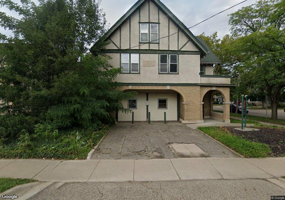
1104 S Westnedge Ave Unit LL Kalamazoo, MI 49008
Vine Neighborhood
--
Bed
--
Bath
5,134
Sq Ft
7,841
Sq Ft Lot
About This Home
This home is located at 1104 S Westnedge Ave Unit LL, Kalamazoo, MI 49008. 1104 S Westnedge Ave Unit LL is a home located in Kalamazoo County with nearby schools including Woods Lake Elementary School, Maple Street Magnet School for the Arts, and Loy Norrix High School.
Ownership History
Date
Name
Owned For
Owner Type
Purchase Details
Closed on
Aug 28, 2025
Sold by
Rrm Engines Llc
Bought by
Westnedge Fire Station Llc
Purchase Details
Closed on
Feb 2, 2014
Sold by
The City Of Kalamazoo
Bought by
Firehouse 1104 Llc
Home Financials for this Owner
Home Financials are based on the most recent Mortgage that was taken out on this home.
Original Mortgage
$200,000
Interest Rate
4.39%
Mortgage Type
Future Advance Clause Open End Mortgage
Create a Home Valuation Report for This Property
The Home Valuation Report is an in-depth analysis detailing your home's value as well as a comparison with similar homes in the area
Home Values in the Area
Average Home Value in this Area
Purchase History
| Date | Buyer | Sale Price | Title Company |
|---|---|---|---|
| Westnedge Fire Station Llc | -- | Sun Title Agency Of Michigan | |
| Firehouse 1104 Llc | $65,000 | Chicago Title Company |
Source: Public Records
Mortgage History
| Date | Status | Borrower | Loan Amount |
|---|---|---|---|
| Previous Owner | Firehouse 1104 Llc | $200,000 |
Source: Public Records
Tax History Compared to Growth
Tax History
| Year | Tax Paid | Tax Assessment Tax Assessment Total Assessment is a certain percentage of the fair market value that is determined by local assessors to be the total taxable value of land and additions on the property. | Land | Improvement |
|---|---|---|---|---|
| 2025 | $8,506 | $193,200 | $0 | $0 |
| 2024 | $3,525 | $122,900 | $0 | $0 |
| 2023 | $3,240 | $112,900 | $0 | $0 |
| 2022 | $8,470 | $122,400 | $0 | $0 |
| 2021 | $4,815 | $103,800 | $0 | $0 |
| 2020 | $4,724 | $101,000 | $0 | $0 |
| 2019 | $4,550 | $81,400 | $0 | $0 |
| 2018 | $4,445 | $76,300 | $0 | $0 |
| 2017 | $0 | $70,100 | $0 | $0 |
| 2016 | -- | $64,700 | $0 | $0 |
| 2015 | -- | $63,700 | $0 | $0 |
| 2014 | -- | $0 | $0 | $0 |
Source: Public Records
Map
Nearby Homes
- 1104 S Westnedge Ave Unit Upper Level
- 1104 S Westnedge Ave Unit Bldg
- 1108 S Westnedge Ave
- 513 Wheaton Ave
- 510 Wheaton Ave
- 1116 S Westnedge Ave
- 519 Wheaton Ave
- 506 Wheaton Ave Unit 5
- 506 Wheaton Ave Unit 3
- 506 Wheaton Ave
- 510 Wheaton Ave
- 514 Wheaton Ave
- 1113 S Westnedge Ave
- 1109 S Westnedge Ave
- 1122 S Westnedge Ave
- 525 Wheaton Ave
- 443 Park Place
- 518 Wheaton Ave
- 520 Wheaton Ave
- 1117 S Westnedge Ave