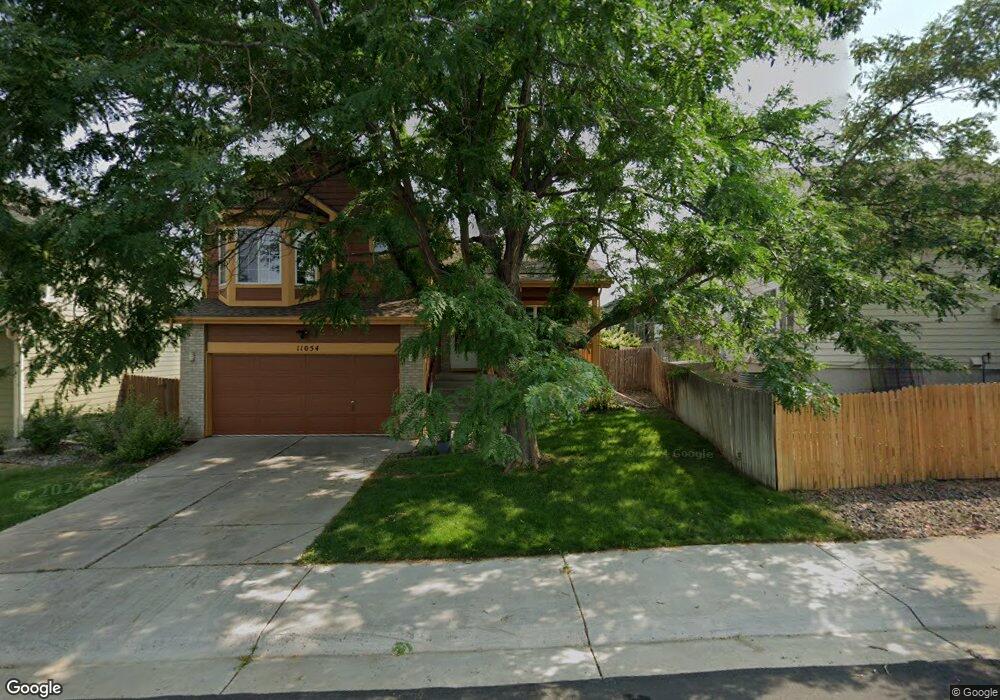
11054 Grouse Ct Parker, CO 80134
Bradbury Ranch NeighborhoodEstimated Value: $533,000 - $546,576
About This Home
This home is located at 11054 Grouse Ct, Parker, CO 80134 and is currently estimated at $538,144, approximately $367 per square foot. 11054 Grouse Ct is a home located in Douglas County with nearby schools including Prairie Crossing Elementary School, Sierra Middle School, and Chaparral High School.
Ownership History
We collect this data history from publicly available records. To have your information removed, we recommend requesting removal directly through your county’s website.
Purchase Details
Home Financials for this Owner
Home Financials are based on the most recent Mortgage that was taken out on this home.Purchase Details
Home Financials for this Owner
Home Financials are based on the most recent Mortgage that was taken out on this home.Purchase Details
Home Financials for this Owner
Home Financials are based on the most recent Mortgage that was taken out on this home.Home Values in the Area
Average Home Value in this Area
Purchase History
We collect this data history from publicly available records. To have your information removed, we recommend requesting removal directly through your county’s website.
| Date | Buyer | Sale Price | Title Company |
|---|---|---|---|
| $217,000 | -- | ||
| $209,900 | -- | ||
| $155,965 | North American Title Co |
Mortgage History
We collect this data history from publicly available records. To have your information removed, we recommend requesting removal directly through your county’s website.
| Date | Status | Borrower | Loan Amount |
|---|---|---|---|
| Closed | $32,000 | ||
| Previous Owner | $206,975 | ||
| Previous Owner | $154,653 |
Tax History
We collect this data history from publicly available records. To have your information removed, we recommend requesting removal directly through your county’s website.
| Year | Tax Paid | Tax Assessment Tax Assessment Total Assessment is a certain percentage of the fair market value that is determined by local assessors to be the total taxable value of land and additions on the property. | Land | Improvement |
|---|---|---|---|---|
| 2026 | $3,105 | $38,880 | $9,100 | $29,780 |
| 2025 | $3,105 | $38,880 | $9,100 | $29,780 |
| 2024 | $3,105 | $39,230 | $7,790 | $31,440 |
| 2023 | $3,143 | $39,230 | $7,790 | $31,440 |
| 2022 | $2,280 | $26,370 | $5,420 | $20,950 |
| 2021 | $2,373 | $26,370 | $5,420 | $20,950 |
| 2020 | $2,272 | $25,660 | $6,050 | $19,610 |
| 2019 | $2,286 | $25,660 | $6,050 | $19,610 |
| 2018 | $2,098 | $22,960 | $5,420 | $17,540 |
| 2017 | $1,947 | $22,960 | $5,420 | $17,540 |
| 2016 | $1,731 | $20,040 | $3,740 | $16,300 |
| 2015 | $1,763 | $20,040 | $3,740 | $16,300 |
| 2014 | $1,666 | $16,890 | $3,580 | $13,310 |
Map
- 16138 White Hawk Dr
- 16221 White Hawk Dr
- 11042 Pheasant Ct
- 16145 Peregrine Dr
- 11090 Night Heron Dr
- 10965 Hayloft St
- 10964 Hayloft St
- 10812 Hayloft St
- 16533 Red Brush Place
- 16376 Flintlock Ct
- 15921 Filly Ave
- 16396 Wagon Ct
- 16394 E Blackthorn Way
- 10991 Independence Cir W
- 10863 Hayloft St
- 10848 Hayloft St
- 10976 Snowdon St
- 10912 Snowdon St
- 10855 Crooke Dr
- 16563 E Auburn Hills Dr
- 16154 White Hawk Dr
- 16150 White Hawk Dr
- 16158 White Hawk Dr
- 11050 Grouse Ct
- 11048 Grouse Ct
- 11046 Grouse Ct
- 16157 White Hawk Dr
- 16153 White Hawk Dr
- 11064 Grouse Ct
- 16151 White Hawk Dr
- 11044 Grouse Ct
- 11060 Grouse Ct
- 16130 White Hawk Dr
- 16147 White Hawk Dr
- 16161 White Hawk Dr
- 11042 Grouse Ct
- 16143 White Hawk Dr
- 16134 White Hawk Dr
- 16128 White Hawk Dr
- 16171 White Hawk Dr
Ask me questions while you tour the home.