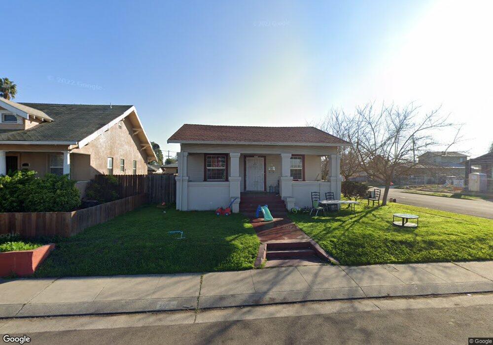
1106 E College Ave Stockton, CA 95205
Midtown NeighborhoodEstimated Value: $238,000 - $348,000
2
Beds
1
Bath
1,082
Sq Ft
$274/Sq Ft
Est. Value
About This Home
This home is located at 1106 E College Ave, Stockton, CA 95205 and is currently estimated at $296,056, approximately $273 per square foot. 1106 E College Ave is a home located in San Joaquin County with nearby schools including Grunsky Elementary School, Harrison Elementary School, and August Elementary School.
Ownership History
Date
Name
Owned For
Owner Type
Purchase Details
Closed on
Jun 18, 2001
Sold by
Calvo Hector Gabriel and Calvo Sujey
Bought by
Rivera Alberto and Rivera Imelda
Current Estimated Value
Home Financials for this Owner
Home Financials are based on the most recent Mortgage that was taken out on this home.
Original Mortgage
$48,000
Interest Rate
7.15%
Purchase Details
Closed on
Jan 6, 1999
Sold by
Wyles Kathryn A
Bought by
Calvo Gabriel and Calvo Sujey
Create a Home Valuation Report for This Property
The Home Valuation Report is an in-depth analysis detailing your home's value as well as a comparison with similar homes in the area
Home Values in the Area
Average Home Value in this Area
Purchase History
| Date | Buyer | Sale Price | Title Company |
|---|---|---|---|
| Rivera Alberto | $48,000 | Central Valley Title Company | |
| Calvo Gabriel | $32,000 | Chicago Title Co |
Source: Public Records
Mortgage History
| Date | Status | Borrower | Loan Amount |
|---|---|---|---|
| Closed | Rivera Alberto | $48,000 |
Source: Public Records
Tax History Compared to Growth
Tax History
| Year | Tax Paid | Tax Assessment Tax Assessment Total Assessment is a certain percentage of the fair market value that is determined by local assessors to be the total taxable value of land and additions on the property. | Land | Improvement |
|---|---|---|---|---|
| 2025 | $1,217 | $90,396 | $30,131 | $60,265 |
| 2024 | $1,198 | $88,625 | $29,541 | $59,084 |
| 2023 | $1,172 | $86,888 | $28,962 | $57,926 |
| 2022 | $1,137 | $85,186 | $28,395 | $56,791 |
| 2021 | $1,095 | $83,517 | $27,839 | $55,678 |
| 2020 | $1,115 | $82,662 | $27,554 | $55,108 |
| 2019 | $1,111 | $81,042 | $27,014 | $54,028 |
| 2018 | $1,091 | $79,454 | $26,485 | $52,969 |
| 2017 | $1,036 | $77,897 | $25,966 | $51,931 |
| 2016 | $938 | $76,370 | $25,457 | $50,913 |
| 2014 | $1,005 | $73,750 | $24,583 | $49,167 |
Source: Public Records
Map
Nearby Homes
- 1818 West Ln
- 1372 Bradford St
- 1272 N Airport Way
- 1155 N Pilgrim St
- 1711 E Walnut St
- 1135 N Pilgrim St
- 1751 Sycamore Ave
- 1751 Sunnyside Ave
- 1620 Sycamore Ave
- 1702 Sunnyside Ave
- 434 E Cleveland St
- 1600 Sunnyside Ave
- 1037 N Airport Way
- 1257 Sunnyside Ave
- 1902 E Harding Way
- 465 E Geary St
- 2207 N Sutter St
- 421 E Rose St
- 2613 N California St
- 1637 N Hunter St
- 1114 E College Ave
- 1752 N Stanford Ave
- 1120 E College Ave
- 1740 N Stanford Ave
- 1759 N Stanford Ave
- 1765 N Stanford Ave
- 1757 N Stanford Ave
- 1775 N Stanford Ave
- 1751 N Berkeley Ave
- 1105 E College Ave
- 1128 E College Ave
- 1111 E College Ave
- 1736 N Stanford Ave
- 1743 N Stanford Ave
- 1117 E College Ave
- 1745 N Berkeley Ave
- 1123 E College Ave
- 1 Berkeley Ave
- 1735 N Stanford Ave
- 1809 N Stanford Ave