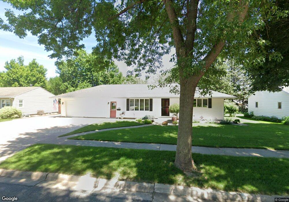
1106 N Cedar St Luverne, MN 56156
Estimated Value: $271,000 - $312,000
Studio
--
Bath
1,040
Sq Ft
$274/Sq Ft
Est. Value
About This Home
This home is located at 1106 N Cedar St, Luverne, MN 56156 and is currently estimated at $285,103, approximately $274 per square foot. 1106 N Cedar St is a home with nearby schools including Luverne Elementary School and Luverne Senior High School.
Ownership History
Date
Name
Owned For
Owner Type
Purchase Details
Closed on
Jan 22, 2021
Sold by
Jacobsma Harold and Jacobsma Glenda
Bought by
Jacobsma Harold and Jacobsma Glenda
Current Estimated Value
Purchase Details
Closed on
Mar 28, 2008
Sold by
Behrends Daryl A and Behrends Maebelle J
Bought by
Jacobsma Harold and Jacobsma Glenda
Home Financials for this Owner
Home Financials are based on the most recent Mortgage that was taken out on this home.
Original Mortgage
$149,000
Interest Rate
6.1%
Mortgage Type
Purchase Money Mortgage
Create a Home Valuation Report for This Property
The Home Valuation Report is an in-depth analysis detailing your home's value as well as a comparison with similar homes in the area
Home Values in the Area
Average Home Value in this Area
Purchase History
| Date | Buyer | Sale Price | Title Company |
|---|---|---|---|
| Jacobsma Harold | -- | None Listed On Document | |
| Jacobsma Harold | $150,000 | None Available |
Source: Public Records
Mortgage History
| Date | Status | Borrower | Loan Amount |
|---|---|---|---|
| Previous Owner | Jacobsma Harold | $149,000 |
Source: Public Records
Tax History
| Year | Tax Paid | Tax Assessment Tax Assessment Total Assessment is a certain percentage of the fair market value that is determined by local assessors to be the total taxable value of land and additions on the property. | Land | Improvement |
|---|---|---|---|---|
| 2025 | $2,528 | $265,000 | $14,400 | $250,600 |
| 2024 | $2,528 | $242,100 | $12,300 | $229,800 |
| 2023 | $2,686 | $250,600 | $12,300 | $238,300 |
| 2022 | $2,420 | $223,000 | $8,100 | $214,900 |
| 2021 | $2,288 | $203,700 | $8,100 | $195,600 |
| 2020 | $2,274 | $195,900 | $8,100 | $187,800 |
| 2019 | $2,122 | $195,300 | $8,100 | $187,200 |
| 2018 | $1,856 | $186,500 | $8,100 | $178,400 |
| 2017 | $1,540 | $163,600 | $8,100 | $155,500 |
| 2016 | $1,492 | $146,600 | $7,400 | $139,200 |
| 2015 | $1,422 | $0 | $0 | $0 |
| 2014 | -- | $0 | $0 | $0 |
Source: Public Records
Map
Nearby Homes
- 101 E Virginia St
- 1021 N Jackson St
- 305 E Veteran's Dr
- 305 E Veterans Dr
- 917 N Mckenzie St
- 201 E Adams Ave
- 201 Elm St
- 503 Britz Dr
- 742 N Freeman Ave
- 500 Brandenburg St
- 612 Britz Dr
- 1115 Elmhurst Ave
- 1123 Elmhurst Ave
- 106 E Christensen Dr
- 721 Britz Dr
- 631 N Cedar St
- 1002 Linden St
- 301 E Christensen Dr
- 1017 Linden St
- 417 S Fairview Dr
- 1016 N Cedar St
- 1108 N Cedar St
- 1105 N Carol St
- 1101 N Carol St
- 1109 N Carol St
- 1107 N Cedar St
- 1110 N Cedar St
- 1012 N Cedar St
- 1019 N Cedar St
- 205 E Carol St
- 1109 N Cedar St
- 1111 N Carol St
- 1003 N Carol St
- 1111 N Cedar St
- 1112 N Cedar St
- 1106 N Carol St
- 1104 N Lindale St
- 1113 N Carol St
- 1004 N Carol St
- 1106 N Lindale St
Your Personal Tour Guide
Ask me questions while you tour the home.