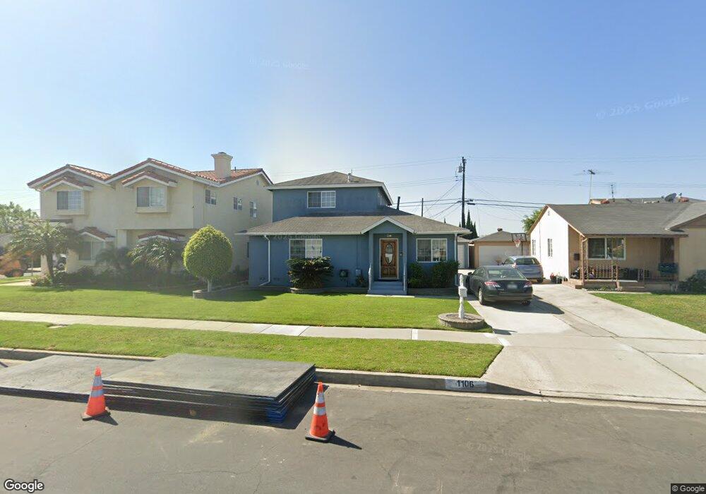
1106 W 212th St Torrance, CA 90502
West Carson NeighborhoodEstimated Value: $881,417 - $1,109,000
4
Beds
3
Baths
2,085
Sq Ft
$458/Sq Ft
Est. Value
About This Home
This home is located at 1106 W 212th St, Torrance, CA 90502 and is currently estimated at $955,604, approximately $458 per square foot. 1106 W 212th St is a home located in Los Angeles County with nearby schools including Van Deene Avenue Elementary School, Stephen M. White Middle School, and Nathaniel Narbonne Senior High School.
Ownership History
Date
Name
Owned For
Owner Type
Purchase Details
Closed on
May 21, 2001
Sold by
Mcknight Tina M
Bought by
Mcknight Edward Albert
Current Estimated Value
Home Financials for this Owner
Home Financials are based on the most recent Mortgage that was taken out on this home.
Original Mortgage
$150,000
Interest Rate
7.15%
Purchase Details
Closed on
Oct 20, 1997
Sold by
Mcnight Tina M
Bought by
Mcknight Edward Albert
Home Financials for this Owner
Home Financials are based on the most recent Mortgage that was taken out on this home.
Original Mortgage
$20,000
Interest Rate
7.49%
Purchase Details
Closed on
Jun 30, 1994
Sold by
Mcknight Charles H and Mcknight Bessie B
Bought by
Mcknight Edward Albert
Create a Home Valuation Report for This Property
The Home Valuation Report is an in-depth analysis detailing your home's value as well as a comparison with similar homes in the area
Home Values in the Area
Average Home Value in this Area
Purchase History
| Date | Buyer | Sale Price | Title Company |
|---|---|---|---|
| Mcknight Edward Albert | -- | Stewart Title | |
| Mcknight Edward Albert | -- | North American Title Co | |
| Mcknight Edward Albert | -- | -- |
Source: Public Records
Mortgage History
| Date | Status | Borrower | Loan Amount |
|---|---|---|---|
| Closed | Mcknight Edward Albert | $150,000 | |
| Closed | Mcknight Edward Albert | $20,000 |
Source: Public Records
Tax History Compared to Growth
Tax History
| Year | Tax Paid | Tax Assessment Tax Assessment Total Assessment is a certain percentage of the fair market value that is determined by local assessors to be the total taxable value of land and additions on the property. | Land | Improvement |
|---|---|---|---|---|
| 2025 | $2,821 | $192,845 | $39,675 | $153,170 |
| 2024 | $2,821 | $189,065 | $38,898 | $150,167 |
| 2023 | $2,773 | $185,359 | $38,136 | $147,223 |
| 2022 | $2,649 | $181,726 | $37,389 | $144,337 |
| 2021 | $2,613 | $178,163 | $36,656 | $141,507 |
| 2019 | $2,532 | $172,881 | $35,570 | $137,311 |
| 2018 | $2,437 | $169,492 | $34,873 | $134,619 |
| 2016 | $2,304 | $162,913 | $33,520 | $129,393 |
| 2015 | $2,261 | $160,467 | $33,017 | $127,450 |
| 2014 | $1,641 | $105,478 | $32,371 | $73,107 |
Source: Public Records
Map
Nearby Homes
- 21141 Berendo Ave
- 1107 W 210th St
- 21125 Normandie Ave
- 22325 Sage Ct
- 22302 Sage Ct
- 22303 Sage Ct
- 20710 Raymond Ave
- 941 W Carson St Unit 106
- 20813 Normandie Ave
- 20616 Budlong Ave
- 20907 Halldale Ave
- 20612 Kenwood Ave
- 1291 Bonnet Way
- 1145 Milton St
- 20553 S Vermont Ave Unit 1
- 20547 S Vermont Ave Unit 2
- 20553 S Vermont Ave Unit 6
- 20545 S Vermont Ave Unit 2
- 20518 Raymond Ave
- 21322 Denker Ave
- 1112 W 212th St
- 1102 W 212th St
- 21213 Royal Blvd
- 1118 W 212th St
- 21202 Budlong Ave
- 21217 Royal Blvd
- 21129 Royal Blvd
- 1124 W 212th St
- 21208 Budlong Ave
- 21144 Budlong Ave
- 1052 W 212th St
- 21223 Royal Blvd
- 21123 Royal Blvd
- 21212 Budlong Ave
- 21140 Budlong Ave
- 1128 W 212th St
- 21212 Royal Blvd
- 1046 W 212th St
- 21203 Budlong Ave
- 212 Goldenwood