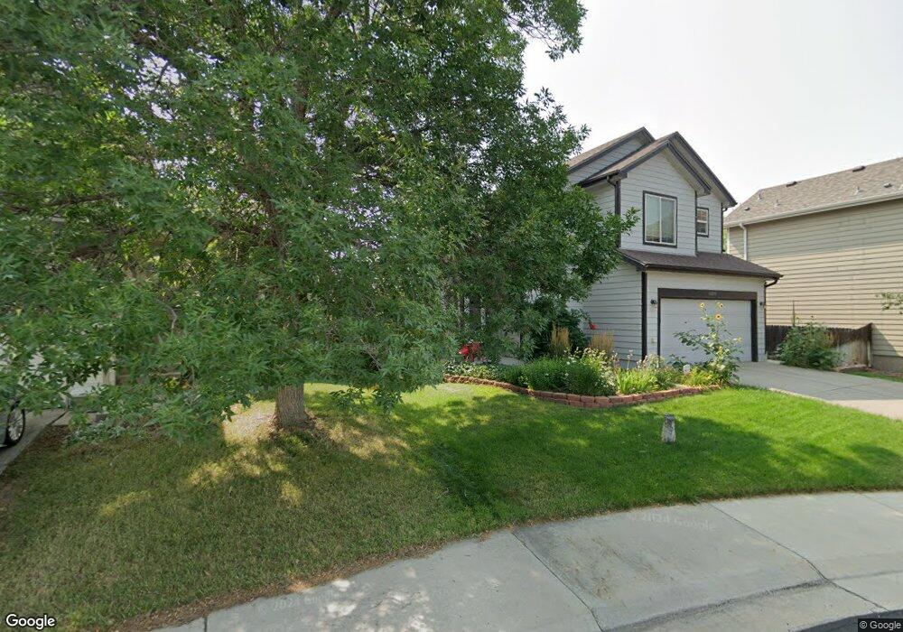
11075 Mallard Ct Parker, CO 80134
Bradbury Ranch NeighborhoodEstimated Value: $532,776 - $550,000
3
Beds
3
Baths
1,832
Sq Ft
$294/Sq Ft
Est. Value
About This Home
This home is located at 11075 Mallard Ct, Parker, CO 80134 and is currently estimated at $537,694, approximately $293 per square foot. 11075 Mallard Ct is a home located in Douglas County with nearby schools including Prairie Crossing Elementary School, Sierra Middle School, and Chaparral High School.
Ownership History
Date
Name
Owned For
Owner Type
Purchase Details
Closed on
Dec 12, 2017
Sold by
Osborne Robert L and Osborne Mary Beth
Bought by
Lewis Jeffrey
Current Estimated Value
Home Financials for this Owner
Home Financials are based on the most recent Mortgage that was taken out on this home.
Original Mortgage
$337,500
Outstanding Balance
$284,145
Interest Rate
3.94%
Mortgage Type
New Conventional
Estimated Equity
$253,549
Purchase Details
Closed on
Jun 27, 2013
Sold by
Osborne Robert L and Osborne Mary B
Bought by
The Osborne Family Revocable Living Trus
Purchase Details
Closed on
Dec 31, 1998
Sold by
Amrepco Inc
Bought by
Osborne Robert L and Osborne Mary B
Home Financials for this Owner
Home Financials are based on the most recent Mortgage that was taken out on this home.
Original Mortgage
$116,724
Interest Rate
6.74%
Create a Home Valuation Report for This Property
The Home Valuation Report is an in-depth analysis detailing your home's value as well as a comparison with similar homes in the area
Home Values in the Area
Average Home Value in this Area
Purchase History
| Date | Buyer | Sale Price | Title Company |
|---|---|---|---|
| Lewis Jeffrey | $375,000 | Fidelity National Title | |
| The Osborne Family Revocable Living Trus | -- | None Available | |
| Osborne Robert L | $145,905 | North American Title Co |
Source: Public Records
Mortgage History
| Date | Status | Borrower | Loan Amount |
|---|---|---|---|
| Open | Lewis Jeffrey | $337,500 | |
| Previous Owner | Osborne Robert L | $116,724 |
Source: Public Records
Tax History Compared to Growth
Tax History
| Year | Tax Paid | Tax Assessment Tax Assessment Total Assessment is a certain percentage of the fair market value that is determined by local assessors to be the total taxable value of land and additions on the property. | Land | Improvement |
|---|---|---|---|---|
| 2024 | $2,939 | $37,320 | $7,800 | $29,520 |
| 2023 | $2,974 | $37,320 | $7,800 | $29,520 |
| 2022 | $2,263 | $26,170 | $5,400 | $20,770 |
| 2021 | $2,356 | $26,170 | $5,400 | $20,770 |
| 2020 | $2,215 | $25,020 | $5,890 | $19,130 |
| 2019 | $2,229 | $25,020 | $5,890 | $19,130 |
| 2018 | $1,920 | $21,010 | $5,560 | $15,450 |
| 2017 | $1,782 | $21,010 | $5,560 | $15,450 |
| 2016 | $1,597 | $18,480 | $3,740 | $14,740 |
| 2015 | $1,626 | $18,480 | $3,740 | $14,740 |
| 2014 | $1,458 | $14,780 | $3,580 | $11,200 |
Source: Public Records
Map
Nearby Homes
- 16135 Peregrine Dr
- 16181 White Hawk Dr
- 11029 Grouse Ct
- 15902 Stringhalt Way
- 10968 Snowdon St
- 10896 Snowdon St
- 16116 Martingale Dr
- 15733 Mccauley Dr
- 10834 Snowdon St
- 15980 Donegal Ave
- 10828 Snowdon St
- 11300 Night Heron Dr
- 10818 Mcclellan Rd
- 11310 Night Heron Dr
- 11367 S Blackthorn Ct
- 10832 Tundra Top Dr
- 11387 S Blackthorn Ct
- 15857 Abbeylara Ln
- 10873 Tundra Top Dr
- 10849 Tundra Top Dr
- 11079 Mallard Ct
- 11069 Mallard Ct
- 16213 White Hawk Dr
- 11085 Mallard Ct
- 11080 Hayloft St
- 11072 Hayloft St
- 16217 White Hawk Dr
- 11089 Mallard Ct
- 11088 Hayloft St
- 11092 Mallard Ct
- 11064 Hayloft St
- 11086 Mallard Ct
- 16221 White Hawk Dr
- 16214 White Hawk Dr
- 16208 White Hawk Dr
- 11072 Mallard Ct
- 11092 Hayloft St
- 11056 Hayloft St
- 11076 Mallard Ct
- 16223 White Hawk Dr