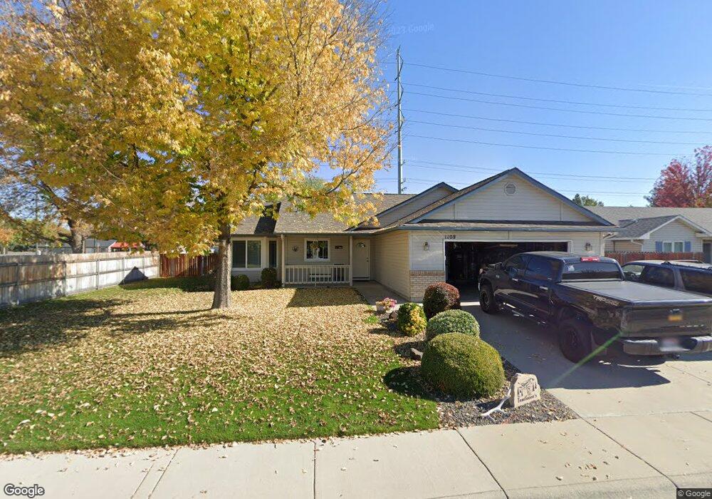
1108 S Scranton Ave Boise, ID 83709
Southwest Boise NeighborhoodEstimated Value: $412,000 - $431,000
3
Beds
2
Baths
1,438
Sq Ft
$292/Sq Ft
Est. Value
About This Home
This home is located at 1108 S Scranton Ave, Boise, ID 83709 and is currently estimated at $419,569, approximately $291 per square foot. 1108 S Scranton Ave is a home located in Ada County with nearby schools including Pepper Ridge Elementary, Lewis & Clark Middle School, and Centennial High School.
Ownership History
Date
Name
Owned For
Owner Type
Purchase Details
Closed on
Jun 19, 1998
Sold by
Kerr Construction Inc
Bought by
Tomlinson Scott P
Current Estimated Value
Home Financials for this Owner
Home Financials are based on the most recent Mortgage that was taken out on this home.
Original Mortgage
$102,854
Outstanding Balance
$20,791
Interest Rate
7.17%
Mortgage Type
FHA
Estimated Equity
$398,778
Purchase Details
Closed on
Apr 15, 1998
Sold by
Bilmar Inc
Bought by
Donaldson Neal and Donaldson Donna
Create a Home Valuation Report for This Property
The Home Valuation Report is an in-depth analysis detailing your home's value as well as a comparison with similar homes in the area
Home Values in the Area
Average Home Value in this Area
Purchase History
| Date | Buyer | Sale Price | Title Company |
|---|---|---|---|
| Tomlinson Scott P | -- | Alliance Title & Escrow Corp | |
| Donaldson Neal | -- | American Land Title Co |
Source: Public Records
Mortgage History
| Date | Status | Borrower | Loan Amount |
|---|---|---|---|
| Open | Tomlinson Scott P | $102,854 |
Source: Public Records
Tax History Compared to Growth
Tax History
| Year | Tax Paid | Tax Assessment Tax Assessment Total Assessment is a certain percentage of the fair market value that is determined by local assessors to be the total taxable value of land and additions on the property. | Land | Improvement |
|---|---|---|---|---|
| 2025 | $1,657 | $381,200 | -- | -- |
| 2024 | $1,602 | $374,600 | -- | -- |
| 2023 | $1,602 | $354,200 | $0 | $0 |
| 2022 | $2,170 | $445,400 | $0 | $0 |
| 2021 | $2,044 | $357,300 | $0 | $0 |
| 2020 | $1,527 | $252,500 | $0 | $0 |
| 2019 | $1,909 | $248,700 | $0 | $0 |
| 2018 | $1,535 | $207,800 | $0 | $0 |
| 2017 | $1,408 | $185,000 | $0 | $0 |
| 2016 | $1,369 | $175,400 | $0 | $0 |
| 2015 | $1,256 | $167,100 | $0 | $0 |
| 2012 | -- | $116,300 | $0 | $0 |
Source: Public Records
Map
Nearby Homes
- 12410 W Lewisburg Dr
- 12152 W Lewisburg Ct
- 11829 W Camas St
- 11683 W Aldershot St
- 4345 E Vacheron St
- 12158 W Silverking Ct
- 4216 Woodmurra St
- 1132 S Amaya Ave
- 4202 Woodmurra St
- 11899 W Blueberry Ct
- 681 S Kiser Ave
- 3970 E Overland Rd
- 4187 E Blueberry St
- 704 S Kiser Ave
- 330 S Winthrop Place
- 1961 S Peppercorn Place
- 4132 E Silverking Ln
- 3820 E Overland Rd
- 1340 Jade Ave
- 11225 W Camas St
- 1126 S Scranton Ave
- 12295 W Camas Dr
- 1150 S Scranton Ave
- 1137 S Scranton Ave
- 12311 W Camas Dr
- 12306 W Lewisburg Dr
- 12273 W Lewisburg Dr
- 1150 S Cloverdale Rd
- 12328 W Lewisburg Dr
- 12285 W Lewisburg Dr
- 12337 W Camas Dr
- 12119 Camas St
- 12174 W Lewisburg Ct
- 12309 W Lewisburg Dr
- 1060 S Pikesville Ave
- 12369 W Camas Dr
- 1044 S Pikesville Ave
- 12331 W Lewisburg Dr
- 12109 Camas St
- 12372 W Lewisburg Dr