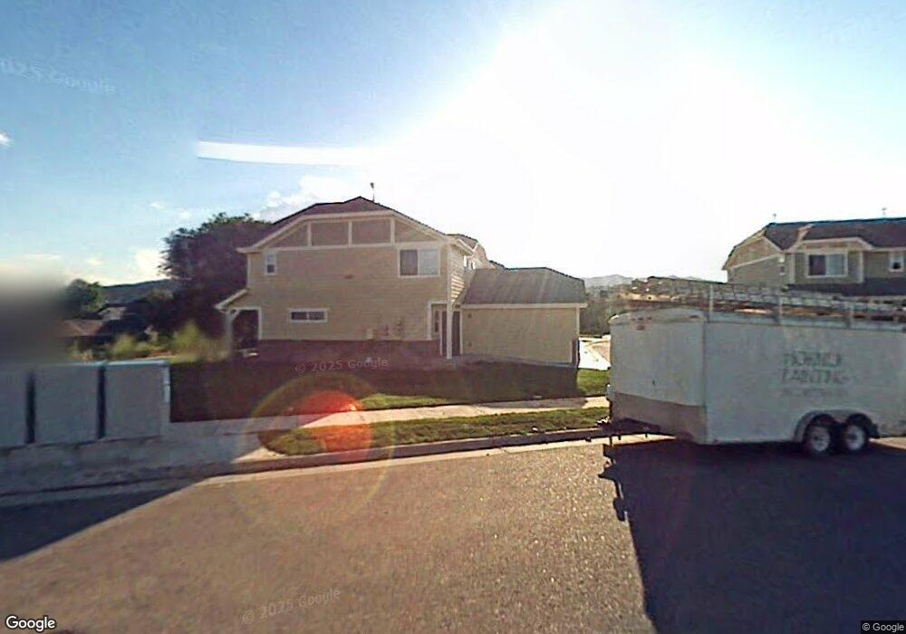
1109 Andrews Peak Dr Unit 101 Fort Collins, CO 80521
P.O.E.T. NeighborhoodEstimated Value: $413,161 - $446,000
2
Beds
3
Baths
1,261
Sq Ft
$339/Sq Ft
Est. Value
About This Home
This home is located at 1109 Andrews Peak Dr Unit 101, Fort Collins, CO 80521 and is currently estimated at $427,790, approximately $339 per square foot. 1109 Andrews Peak Dr Unit 101 is a home located in Larimer County with nearby schools including Bauder Elementary School, Blevins Middle School, and Rocky Mountain High School.
Ownership History
Date
Name
Owned For
Owner Type
Purchase Details
Closed on
Apr 13, 2007
Sold by
Bls Development Llc
Bought by
Rutherfurd Lisa
Current Estimated Value
Home Financials for this Owner
Home Financials are based on the most recent Mortgage that was taken out on this home.
Original Mortgage
$154,400
Outstanding Balance
$93,354
Interest Rate
6.15%
Mortgage Type
New Conventional
Estimated Equity
$334,436
Create a Home Valuation Report for This Property
The Home Valuation Report is an in-depth analysis detailing your home's value as well as a comparison with similar homes in the area
Home Values in the Area
Average Home Value in this Area
Purchase History
| Date | Buyer | Sale Price | Title Company |
|---|---|---|---|
| Rutherfurd Lisa | $193,050 | Commonwealth Title |
Source: Public Records
Mortgage History
| Date | Status | Borrower | Loan Amount |
|---|---|---|---|
| Open | Rutherfurd Lisa | $154,400 |
Source: Public Records
Tax History Compared to Growth
Tax History
| Year | Tax Paid | Tax Assessment Tax Assessment Total Assessment is a certain percentage of the fair market value that is determined by local assessors to be the total taxable value of land and additions on the property. | Land | Improvement |
|---|---|---|---|---|
| 2025 | $2,290 | $27,550 | $3,162 | $24,388 |
| 2024 | $2,179 | $27,550 | $3,162 | $24,388 |
| 2022 | $2,070 | $21,927 | $3,280 | $18,647 |
| 2021 | $2,092 | $22,558 | $3,375 | $19,183 |
| 2020 | $1,923 | $20,549 | $3,375 | $17,174 |
| 2019 | $1,931 | $20,549 | $3,375 | $17,174 |
| 2018 | $1,747 | $19,173 | $3,398 | $15,775 |
| 2017 | $1,741 | $19,173 | $3,398 | $15,775 |
| 2016 | $1,458 | $15,968 | $3,757 | $12,211 |
| 2015 | $1,447 | $15,970 | $3,760 | $12,210 |
| 2014 | $1,299 | $14,240 | $3,760 | $10,480 |
Source: Public Records
Map
Nearby Homes
- 1014 Andrews Peak Dr Unit D112
- 1002 Andrews Peak Dr Unit 103
- 1061 Tierra Ln Unit A
- 1007 Tierra Ln Unit A2
- 3002 W Elizabeth St Unit 8E
- 3002 W Elizabeth St
- 3002 W Elizabeth St Unit 22F
- 3002 W Elizabeth St Unit G
- 3002 W Elizabeth St Unit 16G
- 920 S Overland Trail
- 3000 W Lake St
- 2631 Flintridge Place
- 850 S Overland Trail Unit 20
- 2609 Bartlett Dr
- 1037 Cypress Dr
- 720 S Overland Trail
- 812 Rocky Rd
- 2513 Flintridge Place
- 2513 Bradbury Ct
- 2436 Poplar Dr
- 1109 Andrews Peak Dr Unit 105
- 1109 Andrews Peak Dr Unit 104
- 1109 Andrews Peak Dr Unit 102
- 1103 Andrews Peak Dr Unit 103
- 1103 Andrews Peak Dr Unit 102
- 1103 Andrews Peak Dr Unit 101
- 2918 Pleasant Valley Rd
- 2868 Pleasant Valley Rd
- 2862 Pleasant Valley Rd
- 2924 Pleasant Valley Rd
- 1024 Tierra Ln Unit D
- 1024 Tierra Ln Unit C
- 1024 Tierra Ln Unit B
- 1024 Tierra Ln Unit A
- 1024 Tierra Ln
- 2856 Pleasant Valley Rd
- 1030 Tierra Ln Unit D
- 1030 Tierra Ln Unit C
- 1030 Tierra Ln Unit B
- 1030 Tierra Ln Unit A