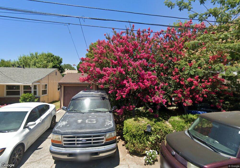
111 Bob St Monrovia, CA 91016
Estimated Value: $722,246 - $840,000
2
Beds
1
Bath
904
Sq Ft
$866/Sq Ft
Est. Value
About This Home
This home is located at 111 Bob St, Monrovia, CA 91016 and is currently estimated at $782,562, approximately $865 per square foot. 111 Bob St is a home located in Los Angeles County with nearby schools including Bradoaks Elementary Science Academy, Santa Fe Computer Science Magnet, and Monrovia High School.
Ownership History
Date
Name
Owned For
Owner Type
Purchase Details
Closed on
Jul 5, 2024
Sold by
Parent Leslie F and Parent Nina M
Bought by
Parent Family Revocable Trust and Parent
Current Estimated Value
Purchase Details
Closed on
Jun 13, 2024
Sold by
Parent Leslie F and Parent Nina M
Bought by
Parent Family Revocable Trust and Parent
Create a Home Valuation Report for This Property
The Home Valuation Report is an in-depth analysis detailing your home's value as well as a comparison with similar homes in the area
Home Values in the Area
Average Home Value in this Area
Purchase History
| Date | Buyer | Sale Price | Title Company |
|---|---|---|---|
| Parent Family Revocable Trust | -- | None Listed On Document | |
| Parent Family Revocable Trust | -- | None Listed On Document |
Source: Public Records
Tax History Compared to Growth
Tax History
| Year | Tax Paid | Tax Assessment Tax Assessment Total Assessment is a certain percentage of the fair market value that is determined by local assessors to be the total taxable value of land and additions on the property. | Land | Improvement |
|---|---|---|---|---|
| 2025 | $2,159 | $132,720 | $52,694 | $80,026 |
| 2024 | $2,159 | $130,118 | $51,661 | $78,457 |
| 2023 | $2,112 | $127,568 | $50,649 | $76,919 |
| 2022 | $2,055 | $125,067 | $49,656 | $75,411 |
| 2021 | $2,013 | $122,616 | $48,683 | $73,933 |
| 2019 | $1,930 | $118,981 | $47,240 | $71,741 |
| 2018 | $1,865 | $116,649 | $46,314 | $70,335 |
| 2016 | $1,792 | $112,120 | $44,516 | $67,604 |
| 2015 | $1,755 | $110,437 | $43,848 | $66,589 |
| 2014 | $1,745 | $108,275 | $42,990 | $65,285 |
Source: Public Records
Map
Nearby Homes
- 139 Spanner St
- 117 Spanner St
- 151 E El Norte St
- 322 Joella St
- 240 W El Sur St
- 121 Shrode Ave
- 333 W Duarte Rd Unit A
- 1835 S Alta Vista Ave
- 2112 California Ave
- 1830 S Mayflower Ave
- 1032 El Norte Ave
- 1614 S Mayflower Ave Unit B
- 237 W Central Ave
- 1610 Mayflower Ave
- 1101 E Camino Real Ave
- 114 1/2 Los Angeles Ave
- 203 Benrud St
- 2535 S Myrtle Ave
- 530 Diamond St Unit C
- 1420 Linda Way