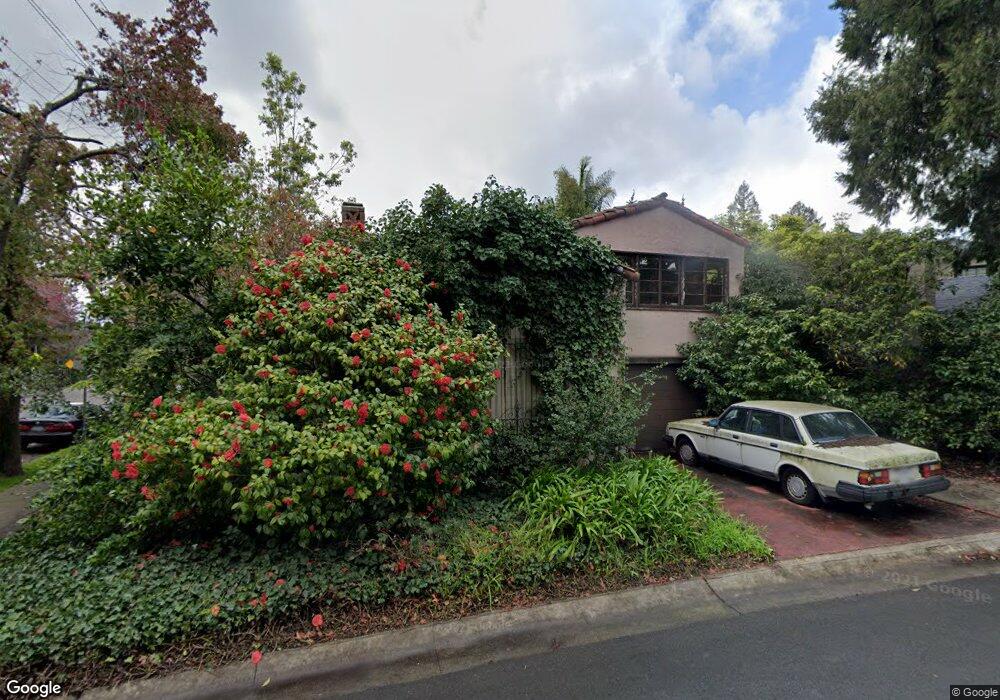
111 Brookside Dr Berkeley, CA 94705
Elmwood NeighborhoodEstimated Value: $1,544,000 - $2,102,000
2
Beds
2
Baths
1,530
Sq Ft
$1,171/Sq Ft
Est. Value
About This Home
This home is located at 111 Brookside Dr, Berkeley, CA 94705 and is currently estimated at $1,791,825, approximately $1,171 per square foot. 111 Brookside Dr is a home located in Alameda County with nearby schools including John Muir Elementary School, Emerson Elementary School, and Malcolm X Elementary School.
Ownership History
Date
Name
Owned For
Owner Type
Purchase Details
Closed on
May 2, 1995
Sold by
Mazzetta Clarence V and The Anne G Pollard Trust
Bought by
Mcgarrell Thomas G
Current Estimated Value
Home Financials for this Owner
Home Financials are based on the most recent Mortgage that was taken out on this home.
Original Mortgage
$185,000
Interest Rate
7.37%
Purchase Details
Closed on
Nov 7, 1994
Sold by
Pollard Anne G
Bought by
Mazzetta Clarence V and Anne G Pollard Trust
Create a Home Valuation Report for This Property
The Home Valuation Report is an in-depth analysis detailing your home's value as well as a comparison with similar homes in the area
Home Values in the Area
Average Home Value in this Area
Purchase History
| Date | Buyer | Sale Price | Title Company |
|---|---|---|---|
| Mcgarrell Thomas G | $275,000 | First American Title Guarant | |
| Mazzetta Clarence V | -- | -- |
Source: Public Records
Mortgage History
| Date | Status | Borrower | Loan Amount |
|---|---|---|---|
| Closed | Mcgarrell Thomas G | $185,000 |
Source: Public Records
Tax History
| Year | Tax Paid | Tax Assessment Tax Assessment Total Assessment is a certain percentage of the fair market value that is determined by local assessors to be the total taxable value of land and additions on the property. | Land | Improvement |
|---|---|---|---|---|
| 2025 | $9,315 | $454,891 | $138,567 | $323,324 |
| 2024 | $9,315 | $445,836 | $135,851 | $316,985 |
| 2023 | $9,045 | $443,960 | $133,188 | $310,772 |
| 2022 | $8,780 | $428,255 | $130,576 | $304,679 |
| 2021 | $8,773 | $419,722 | $128,016 | $298,706 |
| 2020 | $8,230 | $422,347 | $126,704 | $295,643 |
| 2019 | $7,818 | $414,067 | $124,220 | $289,847 |
| 2018 | $7,650 | $405,948 | $121,784 | $284,164 |
| 2017 | $7,366 | $397,990 | $119,397 | $278,593 |
| 2016 | $7,055 | $390,188 | $117,056 | $273,132 |
| 2015 | $6,942 | $384,328 | $115,298 | $269,030 |
| 2014 | $6,855 | $376,801 | $113,040 | $263,761 |
Source: Public Records
Map
Nearby Homes
- 2962 Piedmont Ave
- 2477 Prince St
- 360 Alcatraz Ave
- 6446 Colby St
- 6100 Chabot Rd
- 2817 Palm Ct
- 204 El Camino Real
- 6189 Margarido Dr
- 2935 Florence St
- 2643 Stuart St
- 5941 Keith Ave
- 5936 Broadway
- 2917 Telegraph Ave
- 1488 Alvarado Rd
- 641 Alvarado Rd
- 2632 Warring St Unit 3
- 190 Stonewall Rd
- 6445 Irwin Ct
- 2243 Ashby Ave
- 0 Tunnel Rd
- 121 Brookside Dr
- 181 Brookside Dr
- 110 Brookside Dr
- 171 Brookside Dr
- 151 Brookside Dr
- 3110 Claremont Ave
- 120 Brookside Dr
- 3131 Claremont Ave
- 130 Brookside Dr
- 3135 Claremont Ave
- 3108 Claremont Ave
- 190 Brookside Dr
- 140 Brookside Dr
- 6 Hillcrest Rd
- 180 Brookside Dr
- 170 Brookside Dr
- 150 Brookside Dr
- 160 Brookside Dr
- 10 Hillcrest Rd
- 3130 Claremont Ave
Your Personal Tour Guide
Ask me questions while you tour the home.