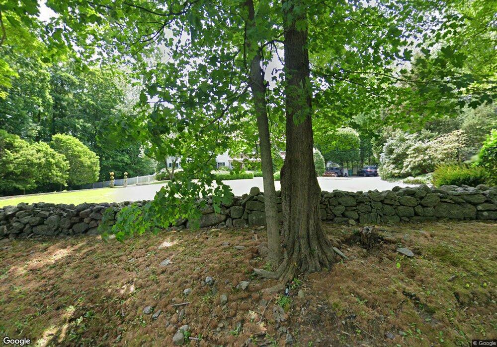
111 Ferris Hill Rd New Canaan, CT 06840
Estimated Value: $2,824,000 - $3,305,320
5
Beds
4
Baths
5,170
Sq Ft
$583/Sq Ft
Est. Value
About This Home
This home is located at 111 Ferris Hill Rd, New Canaan, CT 06840 and is currently estimated at $3,015,080, approximately $583 per square foot. 111 Ferris Hill Rd is a home located in Fairfield County with nearby schools including East Elementary School, Saxe Middle School, and New Canaan High School.
Ownership History
Date
Name
Owned For
Owner Type
Purchase Details
Closed on
Mar 1, 2005
Sold by
Coombs Eric H and Coombs Arianne M
Bought by
Bratches Sean R M and Bratches Patricia
Current Estimated Value
Purchase Details
Closed on
Apr 20, 2001
Sold by
Ambrose Stephen F and Ambrose Martin-Ambrose V
Bought by
Coombs Eric H and Coombs Arianne M
Purchase Details
Closed on
Feb 16, 1988
Sold by
Brown Lawrence
Bought by
Ambrose Stephen
Create a Home Valuation Report for This Property
The Home Valuation Report is an in-depth analysis detailing your home's value as well as a comparison with similar homes in the area
Home Values in the Area
Average Home Value in this Area
Purchase History
| Date | Buyer | Sale Price | Title Company |
|---|---|---|---|
| Bratches Sean R M | $2,000,000 | -- | |
| Coombs Eric H | $1,365,000 | -- | |
| Ambrose Stephen | $685,000 | -- |
Source: Public Records
Mortgage History
| Date | Status | Borrower | Loan Amount |
|---|---|---|---|
| Open | Ambrose Stephen | $965,350 | |
| Closed | Ambrose Stephen | $1,000,000 |
Source: Public Records
Tax History Compared to Growth
Tax History
| Year | Tax Paid | Tax Assessment Tax Assessment Total Assessment is a certain percentage of the fair market value that is determined by local assessors to be the total taxable value of land and additions on the property. | Land | Improvement |
|---|---|---|---|---|
| 2025 | $28,667 | $1,717,590 | $699,300 | $1,018,290 |
| 2024 | $27,722 | $1,717,590 | $699,300 | $1,018,290 |
| 2023 | $25,983 | $1,371,860 | $673,680 | $698,180 |
| 2022 | $25,201 | $1,371,860 | $673,680 | $698,180 |
| 2021 | $24,913 | $1,371,860 | $673,680 | $698,180 |
| 2020 | $24,913 | $1,371,860 | $673,680 | $698,180 |
| 2019 | $25,023 | $1,371,860 | $673,680 | $698,180 |
| 2018 | $26,740 | $1,576,680 | $748,440 | $828,240 |
| 2017 | $26,283 | $1,576,680 | $748,440 | $828,240 |
| 2016 | $25,716 | $1,576,680 | $748,440 | $828,240 |
| 2015 | $26,110 | $1,576,680 | $748,440 | $828,240 |
| 2014 | $24,502 | $1,576,680 | $748,440 | $828,240 |
Source: Public Records
Map
Nearby Homes
- 114 Ferris Hill Rd
- 30L Huckleberry Hill Rd
- 240 Rosebrook Rd
- 760 Valley Rd
- 199 Mariomi Rd
- 262 Brushy Ridge Rd
- 561 Smith Ridge Rd
- 67 Carter St
- 122 Brookwood Ln
- 48 Brookwood Ln
- 52 Garibaldi Ln
- 61 Smith Ridge Rd
- 101 Parade Hill Rd
- 145 River St
- 136L Carter St
- 152L Carter St
- 140L Carter St
- 158L Carter St
- 439 Cheese Spring Rd
- 30 Wild Duck Rd
- 121 Ferris Hill Rd
- 95 Ferris Hill Rd
- 103 Ferris Hill Rd
- 101 Ferris Hill Rd
- 141 Ferris Hill Rd
- 84 Ferris Hill Rd
- 148 Ferris Hill Rd
- 123 Ferris Hill Rd
- 59 Ferris Hill Rd
- 163 Ferris Hill Rd
- 79 Ferris Hill Rd
- 183 Ferris Hill Rd
- 37 Pepper Ln
- 90 Ferris Hill Rd
- 42 Pepper Ln
- 181 Ferris Hill Rd
- 178 Ferris Hill Rd
- 55 Ferris Hill Rd
- 42 Ferris Hill Rd
- 160 Ferris Hill Rd