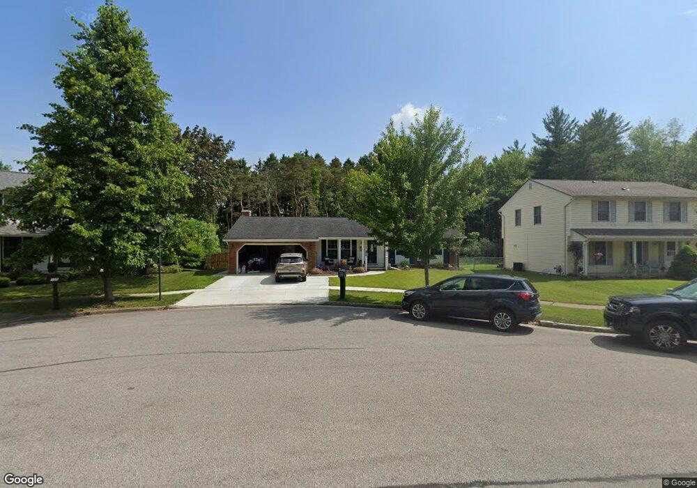
111 Molnar Dr Buffalo, NY 14224
Estimated Value: $324,898 - $338,000
3
Beds
2
Baths
1,460
Sq Ft
$227/Sq Ft
Est. Value
About This Home
This home is located at 111 Molnar Dr, Buffalo, NY 14224 and is currently estimated at $331,225, approximately $226 per square foot. 111 Molnar Dr is a home located in Erie County with nearby schools including Allendale Elementary School, West Middle School, and West Seneca West Senior High School.
Ownership History
Date
Name
Owned For
Owner Type
Purchase Details
Closed on
Nov 23, 2021
Sold by
Ott Ronald E and Ott Dolores A
Bought by
Pirro Erica I and Pirro Jason J
Current Estimated Value
Purchase Details
Closed on
Dec 14, 2009
Sold by
Kozlowsky Walter K and Chemelli Pamela Ann
Bought by
Ott Ronald E and Ott Dolores A
Home Financials for this Owner
Home Financials are based on the most recent Mortgage that was taken out on this home.
Original Mortgage
$68,000
Interest Rate
5.02%
Mortgage Type
New Conventional
Purchase Details
Closed on
May 21, 1998
Create a Home Valuation Report for This Property
The Home Valuation Report is an in-depth analysis detailing your home's value as well as a comparison with similar homes in the area
Home Values in the Area
Average Home Value in this Area
Purchase History
| Date | Buyer | Sale Price | Title Company |
|---|---|---|---|
| Pirro Erica I | $245,000 | None Available | |
| Ott Ronald E | $145,000 | None Available | |
| -- | -- | -- |
Source: Public Records
Mortgage History
| Date | Status | Borrower | Loan Amount |
|---|---|---|---|
| Previous Owner | Ott Ronald E | $68,000 |
Source: Public Records
Tax History
| Year | Tax Paid | Tax Assessment Tax Assessment Total Assessment is a certain percentage of the fair market value that is determined by local assessors to be the total taxable value of land and additions on the property. | Land | Improvement |
|---|---|---|---|---|
| 2024 | $6,790 | $68,800 | $9,100 | $59,700 |
| 2023 | $6,620 | $68,800 | $9,100 | $59,700 |
| 2022 | $6,283 | $68,800 | $9,100 | $59,700 |
| 2021 | $6,235 | $68,800 | $9,100 | $59,700 |
| 2020 | $4,841 | $68,800 | $9,100 | $59,700 |
| 2019 | $4,671 | $68,800 | $9,100 | $59,700 |
| 2018 | $4,641 | $68,800 | $9,100 | $59,700 |
| 2017 | $2,707 | $68,800 | $9,100 | $59,700 |
| 2016 | $4,416 | $68,800 | $9,100 | $59,700 |
| 2015 | -- | $68,800 | $9,100 | $59,700 |
| 2014 | -- | $68,800 | $9,100 | $59,700 |
Source: Public Records
Map
Nearby Homes
- 79 Willowcrest Dr
- 28 Larkwood Rd
- 233 Greenmeadow Dr Unit 233
- 1689 Orchard Park Rd Unit 1689
- 95 Reserve Rd
- 14 Cheryl Rd
- 19 Boldt Ct
- 25 Cove Hollow
- 40 Greenspring Ct
- 1475 Orchard Park Rd
- 47 Greenspring Ct
- 23 Greenspring Ct
- 58 Allendale Rd
- 76 Rosewood Dr
- 144 Windmill Rd
- 17 Camelot Dr
- 19 E Bihrwood Dr
- 277 Woodward Dr
- 488 Mill Rd
- 17 Belmont Dr
Your Personal Tour Guide
Ask me questions while you tour the home.