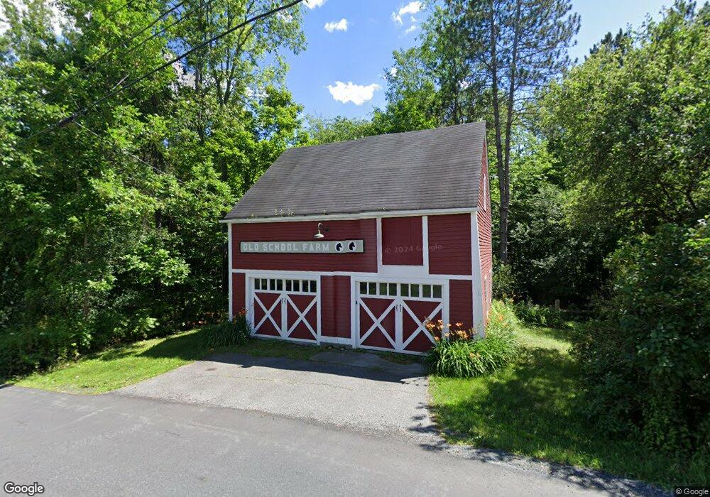
111 Poverty Ln Lebanon, NH 03766
Estimated Value: $756,000 - $922,000
4
Beds
3
Baths
2,642
Sq Ft
$311/Sq Ft
Est. Value
About This Home
This home is located at 111 Poverty Ln, Lebanon, NH 03766 and is currently estimated at $821,039, approximately $310 per square foot. 111 Poverty Ln is a home located in Grafton County with nearby schools including Mt. Lebanon School, Lebanon Middle School, and Lebanon High School.
Ownership History
Date
Name
Owned For
Owner Type
Purchase Details
Closed on
Jan 11, 2017
Sold by
Milius Richard and Dingley Amy
Bought by
Amy L Dingley T
Current Estimated Value
Purchase Details
Closed on
Apr 14, 2006
Sold by
Zagaris Varnavas and Zagaris Laurie
Bought by
Milius Richard
Home Financials for this Owner
Home Financials are based on the most recent Mortgage that was taken out on this home.
Original Mortgage
$100,000
Interest Rate
6.28%
Mortgage Type
Purchase Money Mortgage
Create a Home Valuation Report for This Property
The Home Valuation Report is an in-depth analysis detailing your home's value as well as a comparison with similar homes in the area
Home Values in the Area
Average Home Value in this Area
Purchase History
| Date | Buyer | Sale Price | Title Company |
|---|---|---|---|
| Amy L Dingley T | -- | -- | |
| Milius Richard | $475,000 | -- |
Source: Public Records
Mortgage History
| Date | Status | Borrower | Loan Amount |
|---|---|---|---|
| Previous Owner | Milius Richard | $69,917 | |
| Previous Owner | Milius Richard | $100,000 |
Source: Public Records
Tax History Compared to Growth
Tax History
| Year | Tax Paid | Tax Assessment Tax Assessment Total Assessment is a certain percentage of the fair market value that is determined by local assessors to be the total taxable value of land and additions on the property. | Land | Improvement |
|---|---|---|---|---|
| 2024 | $15,779 | $600,400 | $138,300 | $462,100 |
| 2023 | $14,578 | $600,400 | $138,300 | $462,100 |
| 2022 | $13,833 | $600,400 | $138,300 | $462,100 |
| 2021 | $11,788 | $436,900 | $108,000 | $328,900 |
| 2019 | $11,799 | $388,500 | $110,900 | $277,600 |
| 2018 | $11,546 | $388,500 | $110,900 | $277,600 |
| 2017 | $11,298 | $388,500 | $110,900 | $277,600 |
| 2016 | $10,929 | $388,500 | $110,900 | $277,600 |
| 2015 | $10,727 | $388,500 | $110,900 | $277,600 |
| 2014 | $10,119 | $385,200 | $110,900 | $274,300 |
| 2013 | $10,643 | $417,200 | $142,300 | $274,900 |
Source: Public Records
Map
Nearby Homes
- 15 Old Pine Tree Cemetery Rd
- 4 Black Bear Ct
- 204 Mechanic St Unit 12
- 266 Poverty Ln Unit 1A
- 11 Rock Ridge Blvd
- 94 Dogwood Cir
- 3 Maple St
- 163 Mascoma St
- 36-48 S Main St
- 13 Pasture Ln
- 35 Railroad Row Unit C3-2
- 24 Granite St
- 25 West St
- 29 Mascoma St
- 43 Water St Unit 45
- 13 Bullard St Unit 15
- 37 Water St
- 48 Fairview Terrace
- 20 Summer St
- 40 Union St