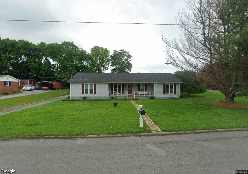
111 Stardust Dr Shelbyville, TN 37160
Estimated Value: $249,711 - $323,000
--
Bed
2
Baths
1,268
Sq Ft
$231/Sq Ft
Est. Value
About This Home
This home is located at 111 Stardust Dr, Shelbyville, TN 37160 and is currently estimated at $293,178, approximately $231 per square foot. 111 Stardust Dr is a home located in Bedford County with nearby schools including East Side Elementary School, Harris Middle School, and Christian Chapel Academy.
Ownership History
Date
Name
Owned For
Owner Type
Purchase Details
Closed on
Jul 15, 2020
Sold by
Mantooth Kimberly A
Bought by
Mantooth Jay
Current Estimated Value
Purchase Details
Closed on
Sep 30, 1993
Bought by
Anderson Stephen B
Purchase Details
Closed on
Jan 6, 1988
Bought by
Woods Clyde O and Deborah Lawell
Purchase Details
Closed on
Jul 9, 1987
Bought by
Clay Vance D
Purchase Details
Closed on
Jan 29, 1971
Bought by
Bobo Sam
Purchase Details
Closed on
Aug 27, 1958
Create a Home Valuation Report for This Property
The Home Valuation Report is an in-depth analysis detailing your home's value as well as a comparison with similar homes in the area
Home Values in the Area
Average Home Value in this Area
Purchase History
| Date | Buyer | Sale Price | Title Company |
|---|---|---|---|
| Mantooth Jay | -- | None Available | |
| Anderson Stephen B | $59,000 | -- | |
| Woods Clyde O | $62,700 | -- | |
| Clay Vance D | -- | -- | |
| Bobo Sam | -- | -- | |
| -- | -- | -- |
Source: Public Records
Tax History Compared to Growth
Tax History
| Year | Tax Paid | Tax Assessment Tax Assessment Total Assessment is a certain percentage of the fair market value that is determined by local assessors to be the total taxable value of land and additions on the property. | Land | Improvement |
|---|---|---|---|---|
| 2025 | -- | $38,900 | $0 | $0 |
| 2024 | -- | $38,900 | $8,050 | $30,850 |
| 2023 | $1,481 | $38,900 | $8,050 | $30,850 |
| 2022 | $1,524 | $38,900 | $8,050 | $30,850 |
| 2021 | $1,383 | $38,900 | $8,050 | $30,850 |
| 2020 | $1,078 | $38,900 | $8,050 | $30,850 |
| 2019 | $1,078 | $24,325 | $5,750 | $18,575 |
| 2018 | $1,054 | $24,325 | $5,750 | $18,575 |
| 2017 | $1,054 | $24,325 | $5,750 | $18,575 |
| 2016 | $1,044 | $24,325 | $5,750 | $18,575 |
| 2015 | $1,044 | $24,325 | $5,750 | $18,575 |
| 2014 | $933 | $23,790 | $0 | $0 |
Source: Public Records
Map
Nearby Homes
- 309 Honeysuckle Ln
- 407 Dow Dr
- 223 Megan Cir
- 1030 Union St
- 402 Rose Ln
- 1615 Elevation ABC Plan at Wheatfield
- 1567 Elevation ABC Plan at Wheatfield
- 225 Republic St
- 227 Republic St
- 119 Millet St
- 122 Laurelwood Dr
- 232 Republic St
- 105 Atlantic Ave
- 603 Tines Dr
- 226 Republic St
- 228 Republic St
- 102 Greystone Way
- 118 Millet St
- 130 Horseshoe Dr
- 105 Rochester Dr
- 109 Stardust Dr
- 101 Honeysuckle Ln
- 201 Stardust Dr
- 24 Honeysuckle Ln
- 107 Stardust Dr
- 102 Wild Flower Path
- 203 Stardust Dr
- 105 Stardust Dr
- 105 Wild Flower Path
- 104 Wild Flower Path
- 202 Honeysuckle Ln
- 205 Stardust Dr
- 103 Stardust Dr
- 108 Wild Flower Path
- 107 Wild Flower Path
- 803 Apple Blossom Trail
- 204 Honeysuckle Ln
- 207 Stardust Dr
- 202 Jennings Ln
- 100 Stardust Dr