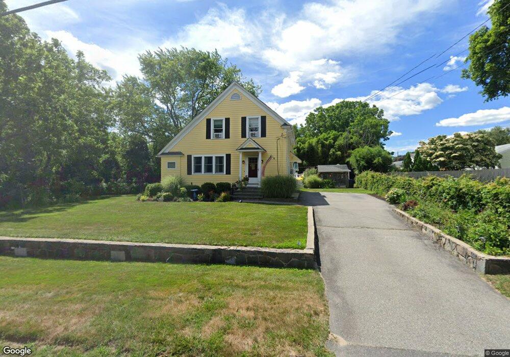
111 Tripps Ln Riverside, RI 02915
Kent Heights NeighborhoodEstimated Value: $454,000 - $488,000
3
Beds
1
Bath
1,786
Sq Ft
$261/Sq Ft
Est. Value
About This Home
This home is located at 111 Tripps Ln, Riverside, RI 02915 and is currently estimated at $465,886, approximately $260 per square foot. 111 Tripps Ln is a home located in Providence County with nearby schools including East Providence High School, St Mary Academy-Bay View, and The Gordon School.
Ownership History
Date
Name
Owned For
Owner Type
Purchase Details
Closed on
Sep 29, 2000
Sold by
Reilly Kevin and Goodrum Marcia
Bought by
Hughett David W and Masse Sheryn
Current Estimated Value
Home Financials for this Owner
Home Financials are based on the most recent Mortgage that was taken out on this home.
Original Mortgage
$130,000
Interest Rate
7.94%
Purchase Details
Closed on
Sep 26, 1997
Sold by
Bell John H and Bell Christina
Bought by
Reilly Kevin A and Goodrum Marcia
Create a Home Valuation Report for This Property
The Home Valuation Report is an in-depth analysis detailing your home's value as well as a comparison with similar homes in the area
Home Values in the Area
Average Home Value in this Area
Purchase History
| Date | Buyer | Sale Price | Title Company |
|---|---|---|---|
| Hughett David W | $139,000 | -- | |
| Reilly Kevin A | $117,500 | -- |
Source: Public Records
Mortgage History
| Date | Status | Borrower | Loan Amount |
|---|---|---|---|
| Open | Reilly Kevin A | $76,682 | |
| Closed | Reilly Kevin A | $20,000 | |
| Open | Reilly Kevin A | $136,000 | |
| Closed | Reilly Kevin A | $130,000 |
Source: Public Records
Tax History Compared to Growth
Tax History
| Year | Tax Paid | Tax Assessment Tax Assessment Total Assessment is a certain percentage of the fair market value that is determined by local assessors to be the total taxable value of land and additions on the property. | Land | Improvement |
|---|---|---|---|---|
| 2025 | $5,702 | $436,300 | $158,300 | $278,000 |
| 2024 | $5,625 | $366,900 | $131,900 | $235,000 |
| 2023 | $5,415 | $366,900 | $131,900 | $235,000 |
| 2022 | $4,809 | $220,000 | $73,100 | $146,900 |
| 2021 | $4,730 | $220,000 | $72,400 | $147,600 |
| 2020 | $4,530 | $220,000 | $72,400 | $147,600 |
| 2019 | $4,404 | $220,000 | $72,400 | $147,600 |
| 2018 | $3,940 | $172,200 | $56,100 | $116,100 |
| 2017 | $3,852 | $172,200 | $56,100 | $116,100 |
| 2016 | $3,833 | $172,200 | $56,100 | $116,100 |
| 2015 | $3,658 | $159,400 | $52,000 | $107,400 |
| 2014 | $3,658 | $159,400 | $52,000 | $107,400 |
Source: Public Records
Map
Nearby Homes
- 108 Ivan Ave
- 59 Merritt Rd
- 53 Wampanoag Trail
- 10 Fairfield Ave
- 14 Waterview Ave Unit 16
- 36 Gerald St
- 3421 Pawtucket Ave
- 180 Grassmere Ave
- 50 Kettle Point Ave Unit 50
- 25 Ide Ave
- 6 Fuller Ave
- 87 Vincent Ave
- 1 Fales St
- 25 Bullocks Point Ave Unit 5C
- 43 Bullocks Point Ave Unit 4C
- 31 Bullocks Point Ave Unit 2A
- 740 Veterans Memorial Pkwy
- 151 Willett Ave Unit 2
- 151 Willett Ave Unit 5
- 74 Brookhaven Dr