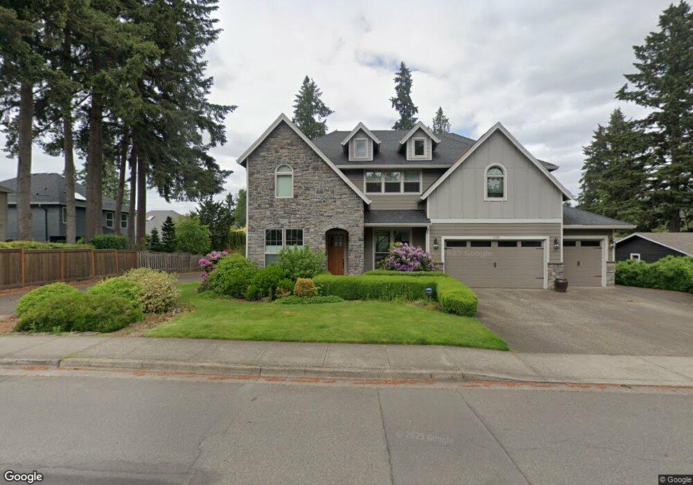
1110 Blankenship Rd West Linn, OR 97068
Willamette NeighborhoodEstimated Value: $906,265 - $1,183,000
4
Beds
3
Baths
3,049
Sq Ft
$325/Sq Ft
Est. Value
About This Home
This home is located at 1110 Blankenship Rd, West Linn, OR 97068 and is currently estimated at $991,316, approximately $325 per square foot. 1110 Blankenship Rd is a home located in Clackamas County with nearby schools including Willamette Primary School, Athey Creek Middle School, and West Linn High School.
Ownership History
Date
Name
Owned For
Owner Type
Purchase Details
Closed on
Jun 28, 2006
Sold by
Jls Custom Homes Inc
Bought by
Swartley David R and Swartley Tracy L
Current Estimated Value
Home Financials for this Owner
Home Financials are based on the most recent Mortgage that was taken out on this home.
Original Mortgage
$463,200
Outstanding Balance
$270,866
Interest Rate
6.57%
Mortgage Type
Purchase Money Mortgage
Estimated Equity
$720,450
Create a Home Valuation Report for This Property
The Home Valuation Report is an in-depth analysis detailing your home's value as well as a comparison with similar homes in the area
Home Values in the Area
Average Home Value in this Area
Purchase History
| Date | Buyer | Sale Price | Title Company |
|---|---|---|---|
| Swartley David R | $579,000 | Pacific Nw Title |
Source: Public Records
Mortgage History
| Date | Status | Borrower | Loan Amount |
|---|---|---|---|
| Open | Swartley David R | $463,200 |
Source: Public Records
Tax History Compared to Growth
Tax History
| Year | Tax Paid | Tax Assessment Tax Assessment Total Assessment is a certain percentage of the fair market value that is determined by local assessors to be the total taxable value of land and additions on the property. | Land | Improvement |
|---|---|---|---|---|
| 2025 | $10,219 | $530,261 | -- | -- |
| 2024 | $9,837 | $514,817 | -- | -- |
| 2023 | $9,837 | $499,823 | $0 | $0 |
| 2022 | $9,284 | $485,266 | $0 | $0 |
| 2021 | $8,813 | $471,133 | $0 | $0 |
| 2020 | $8,873 | $457,411 | $0 | $0 |
| 2019 | $8,462 | $444,089 | $0 | $0 |
| 2018 | $8,084 | $431,154 | $0 | $0 |
| 2017 | $7,770 | $418,596 | $0 | $0 |
| 2016 | $7,569 | $406,404 | $0 | $0 |
| 2015 | $7,039 | $394,567 | $0 | $0 |
| 2014 | $6,731 | $383,075 | $0 | $0 |
Source: Public Records
Map
Nearby Homes
- 1160 Blankenship Rd
- 1101 Ryan Ct
- 812 Wendy Ct
- 2420 Margery St
- 2250 River Heights Cir
- 1075 Epperly Way
- 640 Springtree Ln
- 975 Springtree Ln
- 880 Springtree Ln Unit 880
- 850 Springtree Ln Unit 850
- 1640 Village Park Place
- 1765 Ostman Rd
- 3565 Summerlinn Dr Unit 64
- 3395 Summerlinn Dr Unit 24
- 3135 Summerlinn Dr Unit 40
- 1733 Jamie Cir
- 3850 Summerlinn Dr Unit 58
- 6840 Summerlinn Way Unit 93
- 6505 Summerlinn Way Unit 79
- 4650 Summerlinn Way
- 1118 Blankenship Rd
- 2375 Ostman Rd
- 2385 Michael Dr
- 1140 Blankenship Rd
- 2355 Ostman Rd
- 1136 Blankenship Rd
- 2395 Michael Dr
- 2335 Ostman Rd
- 2405 Michael Dr
- 1122 Blankenship Rd
- 2415 Michael Dr
- 1144 Blankenship Rd
- 2315 Ostman Rd
- 2445 Michael Dr
- 2425 Michael Dr
- 2455 SW Michael
- 2400 Michael Dr
- 2410 Michael Dr
- 2410
- 2410 Michael Ct