11100 Highway 70 Benton, AR 72019
Estimated Value: $264,417 - $362,000
--
Bed
--
Bath
2,450
Sq Ft
$127/Sq Ft
Est. Value
About This Home
This home is located at 11100 Highway 70, Benton, AR 72019 and is currently estimated at $310,139, approximately $126 per square foot. 11100 Highway 70 is a home with nearby schools including Ringgold Elementary School, Benton Middle School, and Benton Junior High School.
Ownership History
Date
Name
Owned For
Owner Type
Purchase Details
Closed on
Nov 18, 2004
Bought by
Harrison J and Harrison Ortega J
Current Estimated Value
Purchase Details
Closed on
Oct 15, 2004
Bought by
Harrison J and Harrison Ortega J
Purchase Details
Closed on
Jul 29, 2003
Bought by
Va
Purchase Details
Closed on
Jul 7, 2003
Bought by
Regions Bank
Purchase Details
Closed on
May 5, 2000
Bought by
Witham
Purchase Details
Closed on
Jul 1, 1988
Bought by
Townsend
Purchase Details
Closed on
Jan 1, 1988
Bought by
Welton
Create a Home Valuation Report for This Property
The Home Valuation Report is an in-depth analysis detailing your home's value as well as a comparison with similar homes in the area
Home Values in the Area
Average Home Value in this Area
Purchase History
| Date | Buyer | Sale Price | Title Company |
|---|---|---|---|
| Harrison J | -- | -- | |
| Harrison J | -- | -- | |
| Va | -- | -- | |
| Regions Bank | -- | -- | |
| Witham | $165,000 | -- | |
| Townsend | $70,000 | -- | |
| Welton | -- | -- |
Source: Public Records
Tax History Compared to Growth
Tax History
| Year | Tax Paid | Tax Assessment Tax Assessment Total Assessment is a certain percentage of the fair market value that is determined by local assessors to be the total taxable value of land and additions on the property. | Land | Improvement |
|---|---|---|---|---|
| 2025 | $1,751 | $33,929 | $1,755 | $32,174 |
| 2024 | $1,751 | $33,929 | $1,755 | $32,174 |
| 2023 | $1,516 | $33,929 | $1,755 | $32,174 |
| 2022 | $1,566 | $33,929 | $1,755 | $32,174 |
| 2021 | $1,574 | $34,090 | $2,480 | $31,610 |
| 2020 | $1,484 | $34,090 | $2,480 | $31,610 |
| 2019 | $1,484 | $34,090 | $2,480 | $31,610 |
| 2018 | $1,509 | $34,090 | $2,480 | $31,610 |
| 2017 | $1,450 | $34,090 | $2,480 | $31,610 |
| 2016 | $1,618 | $31,360 | $2,440 | $28,920 |
| 2015 | $1,618 | $31,360 | $2,440 | $28,920 |
| 2014 | $1,257 | $29,200 | $2,440 | $26,760 |
Source: Public Records
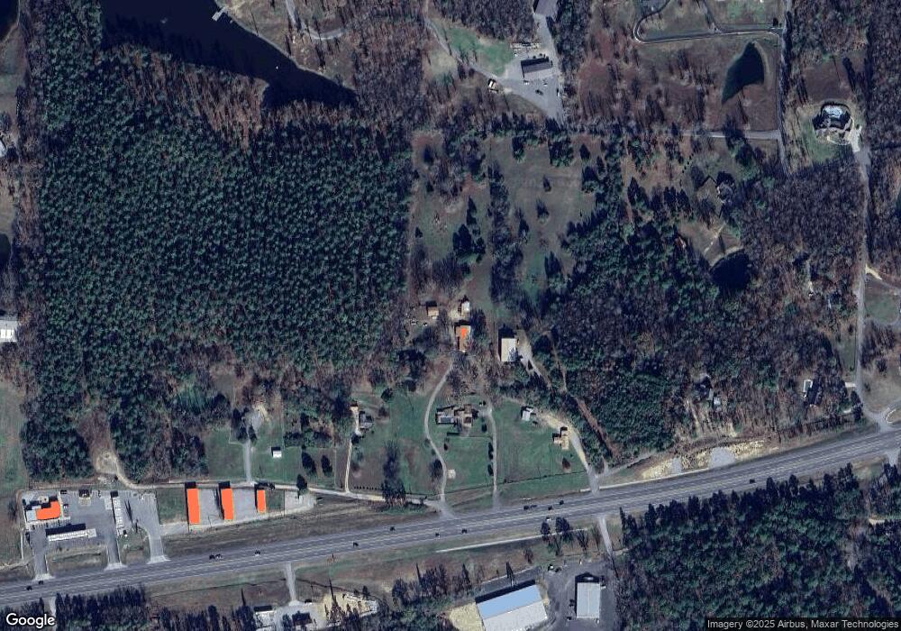
Map
Nearby Homes
- 2550 Smith Ford Rd
- 2624 White Tail St
- 3350 White Tail St
- 12700 Cabin Creek Loop
- 2009 Berkshire Dr
- 00000 Crossroads
- 3914 Beacon Cove
- 4051 Whitney Ln
- 6115 Point View Rd
- 6221 Bray Dr
- 0000 Fawn Glade
- 7035 Point View Rd
- 109 Riveria Cove
- 105 Valderrama Dr
- 128 Silver Springs Dr
- 129 Silver Springs Dr
- 143 Silver Springs Dr
- 6089 Croft Ave
- 121 Harmony Hills
- 115 Harmony Hills Dr
- 10910 Highway 70
- 11220 Elliot Rd
- 10896 Highway 70
- 11324 Elliot Rd
- 10800 Highway 70
- 0 Highway 70 Unit 20010640
- 11209 Highway 70
- 11209 Hwy 70
- 11405 High Point Rd
- 11009 High Point Rd
- 11009 High Point Rd
- 11111 High Point Rd
- 11111 High Point Rd
- 11012 High Pointe Rd
- 0 High Point Dr Unit 16002813
- 0 High Point Dr Unit 16032526
- 0 High Point Dr Unit 10339176
- 0 High Point Dr Unit 10340479
- 11102 High Pointe Rd
- 11475 High Point Rd