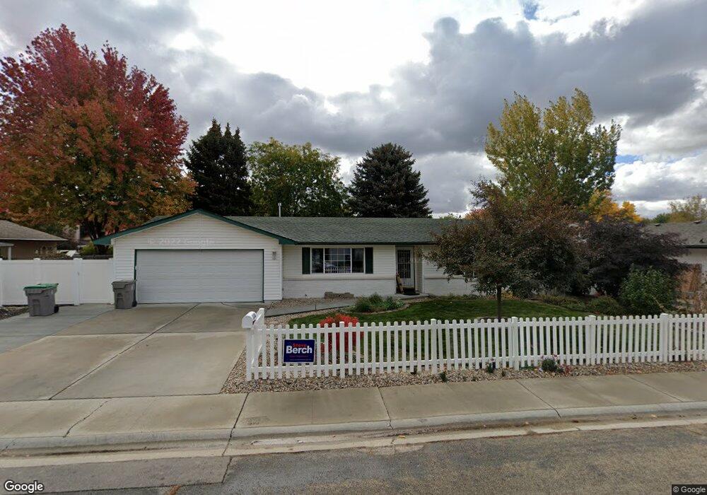
11101 Musket St Boise, ID 83713
West Boise NeighborhoodEstimated Value: $418,000 - $430,000
3
Beds
2
Baths
1,436
Sq Ft
$294/Sq Ft
Est. Value
About This Home
This home is located at 11101 Musket St, Boise, ID 83713 and is currently estimated at $422,444, approximately $294 per square foot. 11101 Musket St is a home located in Ada County with nearby schools including Frontier Elementary School, Lowell Scott Middle School, and Centennial High School.
Ownership History
Date
Name
Owned For
Owner Type
Purchase Details
Closed on
Jul 14, 2009
Sold by
Stephanie Roman I and Stephanie Lee Ann
Bought by
Delling Leslee J
Current Estimated Value
Home Financials for this Owner
Home Financials are based on the most recent Mortgage that was taken out on this home.
Original Mortgage
$121,600
Outstanding Balance
$79,122
Interest Rate
5.25%
Mortgage Type
Purchase Money Mortgage
Estimated Equity
$343,322
Create a Home Valuation Report for This Property
The Home Valuation Report is an in-depth analysis detailing your home's value as well as a comparison with similar homes in the area
Home Values in the Area
Average Home Value in this Area
Purchase History
| Date | Buyer | Sale Price | Title Company |
|---|---|---|---|
| Delling Leslee J | -- | Title One |
Source: Public Records
Mortgage History
| Date | Status | Borrower | Loan Amount |
|---|---|---|---|
| Open | Delling Leslee J | $121,600 |
Source: Public Records
Tax History Compared to Growth
Tax History
| Year | Tax Paid | Tax Assessment Tax Assessment Total Assessment is a certain percentage of the fair market value that is determined by local assessors to be the total taxable value of land and additions on the property. | Land | Improvement |
|---|---|---|---|---|
| 2025 | $1,522 | $377,400 | -- | -- |
| 2024 | $1,604 | $355,100 | -- | -- |
| 2023 | $1,604 | $355,500 | $0 | $0 |
| 2022 | $1,922 | $409,700 | $0 | $0 |
| 2021 | $1,732 | $322,500 | $0 | $0 |
| 2020 | $1,462 | $246,700 | $0 | $0 |
| 2019 | $1,588 | $224,000 | $0 | $0 |
| 2018 | $1,369 | $192,700 | $0 | $0 |
| 2017 | $1,304 | $172,700 | $0 | $0 |
| 2016 | $1,243 | $160,700 | $0 | $0 |
| 2015 | $1,142 | $149,800 | $0 | $0 |
| 2012 | -- | $101,600 | $0 | $0 |
Source: Public Records
Map
Nearby Homes
- 11175 W Hinsdale St
- 11000 W Ramrod Dr
- 3860 N Elgin Way
- 10974 W Edna St
- 11143 W Ramrod Dr
- 3552 N Covered Wagon Way
- 3958 N Bryson Way
- 11301 W Goldenrod Ave
- 10992 W Musket Dr
- 4432 N Wisteria Place
- 10490 W Wildrose Ct
- 11900 W Ramrod Dr
- 10880 W Albany St
- 3287 N Aster Ave
- 11266 W Race Ct
- 11288 W Race Ct
- 12137 W Ginger Creek Dr
- 12159 W Ginger Creek Dr
- 12169 W Ginger Creek Dr
- 12153 W Ginger Creek Dr
- 11117 Musket St
- 3733 Oxbow Ave
- 11108 Powderhorn St
- 11140 Powderhorn St
- 3705 Oxbow Ave
- 11100 Musket St
- 11116 Musket St
- 11151 Musket St
- 11068 Musket St
- 11164 Powderhorn St
- 11150 Musket St
- 3732 Oxbow Ave
- 11030 Musket St
- 3704 Oxbow Ave
- 11107 Powderhorn St
- 11183 Musket St
- 11103 W Hinsdale St
- 11141 Powderhorn St
- 3677 Oxbow Ave
- 11127 W Hinsdale St