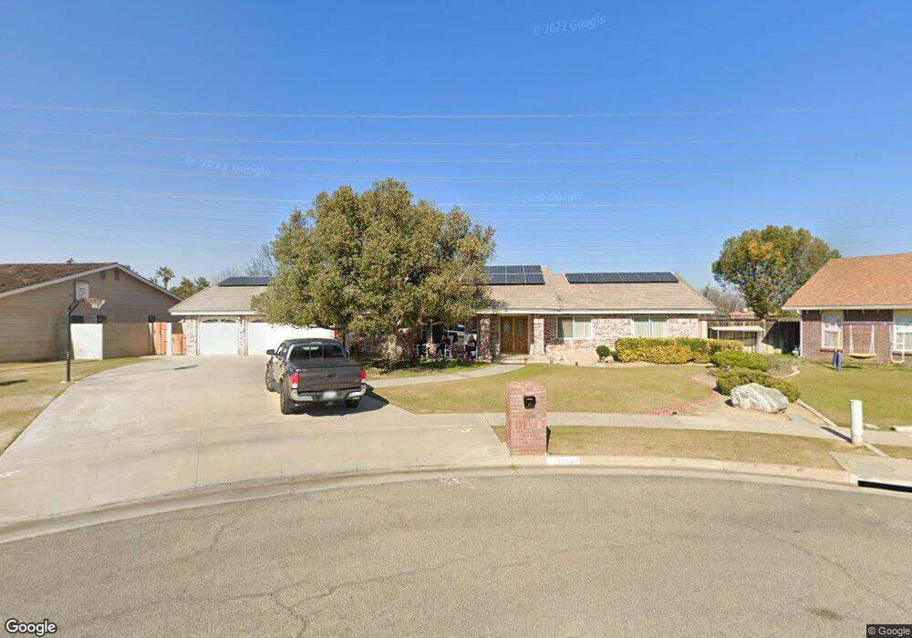
11108 Dee Dee Ct Bakersfield, CA 93312
Polo Grounds NeighborhoodEstimated Value: $469,000 - $578,000
About This Home
This home is located at 11108 Dee Dee Ct, Bakersfield, CA 93312 and is currently estimated at $531,878, approximately $237 per square foot. 11108 Dee Dee Ct is a home located in Kern County with nearby schools including Rosedale-North Elementary School, Freedom Middle School, and Centennial High School.
Ownership History
We collect this data history from publicly available records. To have your information removed, we recommend requesting removal directly through your county’s website.
Purchase Details
Home Financials for this Owner
Home Financials are based on the most recent Mortgage that was taken out on this home.Purchase Details
Home Values in the Area
Average Home Value in this Area
Purchase History
We collect this data history from publicly available records. To have your information removed, we recommend requesting removal directly through your county’s website.
| Date | Buyer | Sale Price | Title Company |
|---|---|---|---|
| -- | Chicago Title Company | ||
| -- | Chicago Title Company | ||
| -- | -- |
Mortgage History
We collect this data history from publicly available records. To have your information removed, we recommend requesting removal directly through your county’s website.
| Date | Status | Borrower | Loan Amount |
|---|---|---|---|
| Closed | $35,000 |
Tax History
We collect this data history from publicly available records. To have your information removed, we recommend requesting removal directly through your county’s website.
| Year | Tax Paid | Tax Assessment Tax Assessment Total Assessment is a certain percentage of the fair market value that is determined by local assessors to be the total taxable value of land and additions on the property. | Land | Improvement |
|---|---|---|---|---|
| 2025 | $3,564 | $266,435 | $50,760 | $215,675 |
| 2024 | $3,424 | $261,213 | $49,765 | $211,448 |
| 2023 | $3,424 | $256,093 | $48,790 | $207,303 |
| 2022 | $3,334 | $251,074 | $47,834 | $203,240 |
| 2021 | $3,220 | $246,153 | $46,897 | $199,256 |
| 2020 | $3,155 | $243,631 | $46,417 | $197,214 |
| 2019 | $3,107 | $243,631 | $46,417 | $197,214 |
| 2018 | $3,006 | $234,174 | $44,615 | $189,559 |
| 2017 | $2,973 | $229,585 | $43,741 | $185,844 |
| 2016 | $2,767 | $225,086 | $42,884 | $182,202 |
| 2015 | $2,734 | $221,707 | $42,240 | $179,467 |
| 2014 | $2,672 | $217,365 | $41,413 | $175,952 |
Map
- 11108 Aimee Way
- 11001 Aimee Way
- 10906 Dee Ave
- 2500 Jewetta Ave Unit 85
- 2500 Jewetta Ave Unit 6
- 10512 Dee Ave
- 3105 Silver Spur Way
- 3122 Campfire Dr Unit 2
- 3110 Campfire Dr
- 11600 Whippoorwill Ln
- 0 Fruitvale Snow Rd Unit 202602724
- 10701 Cave Ave
- 3206 Aviary Way
- 3100 Woodstown St
- 3622 Azure Dr
- 10413 Lonon Ave
- 10601 Michele Ave
- 3811 Europa Ln
- 10112 Greenacres Dr
- 10429 Enger St
- 11101 Dee Dee Ct
- 11109 Dee Dee Ct
- 11100 Dee Ct
- 11100 Dee Dee Ct
- 2801 Nicole Way
- 11117 Dee Dee Ct
- 11100 Aimee Way
- 2817 Nicole Way
- 2717 Nicole Way
- 2809 Nicole Way
- 11116 Dee Dee Ct
- 11116 Aimee Way
- 11201 Dee Dee Ct
- 10924 Dee Dee Ave
- 11201 Dee Ct
- 2709 Nicole Way
- 2701 Nicole Way
- 11200 Aimee Way
- 11200 Dee Dee Ct
- 11209 Dee Ct
Ask me questions while you tour the home.