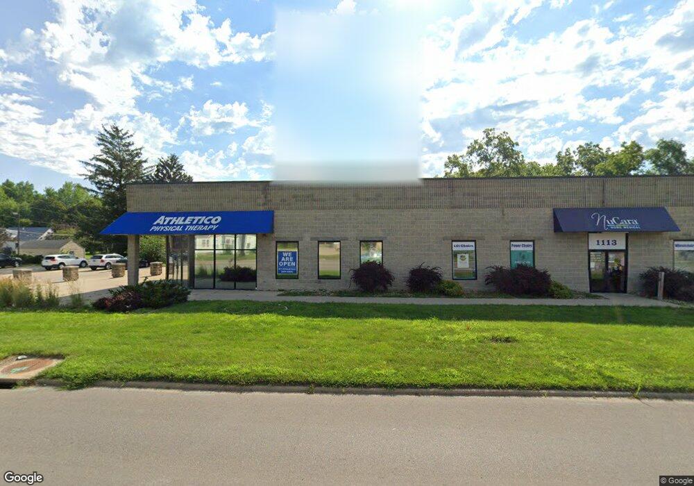
1111 Ansborough Ave Waterloo, IA 50701
Edison NeighborhoodEstimated Value: $1,085,745
Studio
--
Bath
6,528
Sq Ft
$166/Sq Ft
Est. Value
About This Home
This home is located at 1111 Ansborough Ave, Waterloo, IA 50701 and is currently estimated at $1,085,745, approximately $166 per square foot. 1111 Ansborough Ave is a home located in Black Hawk County with nearby schools including Becker Elementary School, Central Middle School, and East High School.
Ownership History
Date
Name
Owned For
Owner Type
Purchase Details
Closed on
Jun 7, 2012
Sold by
Dollys Rentals Llc
Bought by
Gateway Real Estate Holdings Llc
Current Estimated Value
Create a Home Valuation Report for This Property
The Home Valuation Report is an in-depth analysis detailing your home's value as well as a comparison with similar homes in the area
Home Values in the Area
Average Home Value in this Area
Purchase History
| Date | Buyer | Sale Price | Title Company |
|---|---|---|---|
| Gateway Real Estate Holdings Llc | -- | None Available |
Source: Public Records
Tax History
| Year | Tax Paid | Tax Assessment Tax Assessment Total Assessment is a certain percentage of the fair market value that is determined by local assessors to be the total taxable value of land and additions on the property. | Land | Improvement |
|---|---|---|---|---|
| 2025 | $21,682 | $597,680 | $121,200 | $476,480 |
| 2024 | $21,682 | $597,680 | $121,200 | $476,480 |
| 2023 | $13,602 | $597,680 | $121,200 | $476,480 |
| 2022 | $12,528 | $434,970 | $75,750 | $359,220 |
| 2021 | $12,554 | $434,970 | $75,750 | $359,220 |
| 2020 | $12,732 | $434,970 | $75,750 | $359,220 |
| 2019 | $12,732 | $434,970 | $75,750 | $359,220 |
| 2018 | $12,362 | $434,970 | $75,750 | $359,220 |
| 2017 | $12,238 | $434,970 | $75,750 | $359,220 |
| 2016 | $12,378 | $434,970 | $75,750 | $359,220 |
| 2015 | $12,378 | $434,970 | $75,750 | $359,220 |
| 2014 | $13,626 | $434,970 | $75,750 | $359,220 |
Source: Public Records
Map
Nearby Homes
- 2320 University Ave
- 1044 Dundee Ave
- 627 Downing Ave
- 422 Hartman Ave
- 1221 Downing Ave
- 131 Axlewood Dr
- 124 Axlewood Dr
- 118 Axlewood Dr
- 1221 Julian Ave
- 117 Axlewood Dr
- 1114 Eleanor Dr
- 1820 Falls Ave
- 645 Dundee Ave
- 819 Hanna Blvd
- 402 Black Hawk Rd
- 330 Black Hawk Rd
- 631 Wallgate Ave
- 610 Wallgate Ave
- 608 Wallgate Ave
- 106 Berlin St
- 1116 Dundee Ave
- 1108 Dundee Ave
- 1120 Dundee Ave
- 1104 Ansborough Ave
- 1128 Dundee Ave
- 1104 Dundee Ave
- 1118 Ansborough Ave
- 1052 Dundee Ave
- 1052 Dundee Ave Unit 1052 Dundee Ave
- 1030 Ansborough Ave
- 1117 Dundee Ave
- 1111 Dundee Ave
- 1123 Dundee Ave
- 919 Janney Ave
- 1127 Dundee Ave
- 1106 Janney Ave
- 1131 Dundee Ave
- 1113 Chalmers Ave
- 1115 Chalmers Ave
- 1137 Dundee Ave
Your Personal Tour Guide
Ask me questions while you tour the home.