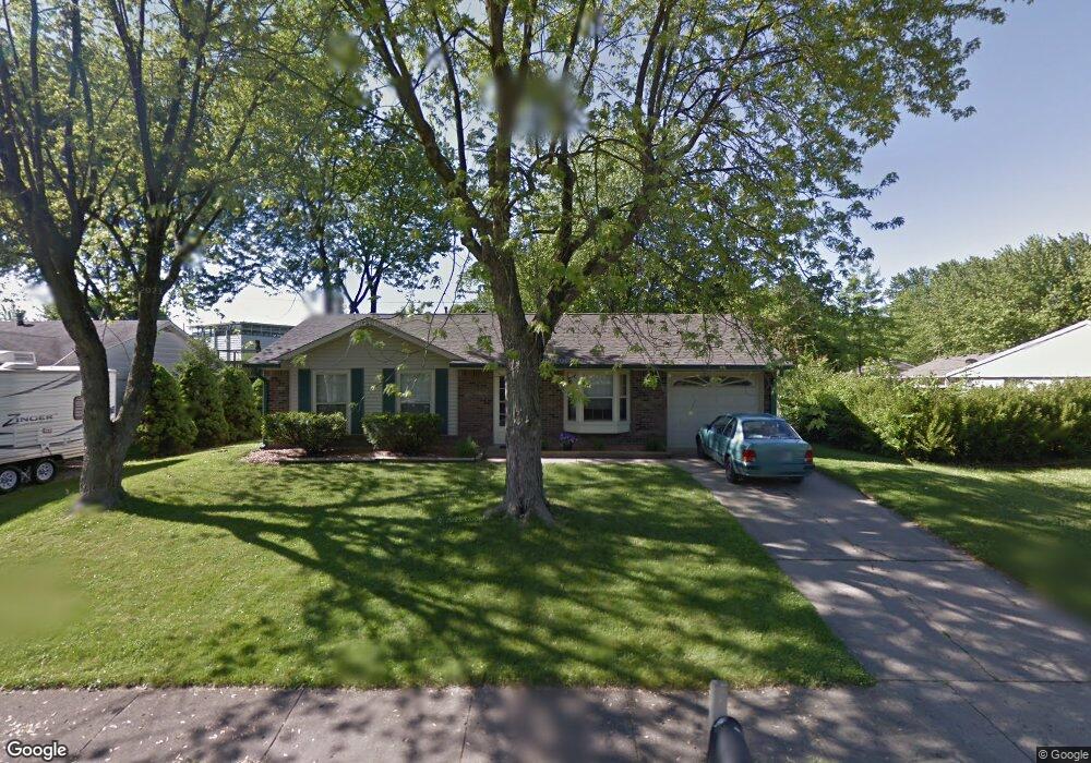
1111 Brookside Ln Plainfield, IN 46168
Estimated Value: $206,375 - $222,000
3
Beds
1
Bath
1,055
Sq Ft
$202/Sq Ft
Est. Value
About This Home
This home is located at 1111 Brookside Ln, Plainfield, IN 46168 and is currently estimated at $213,344, approximately $202 per square foot. 1111 Brookside Ln is a home located in Hendricks County with nearby schools including Van Buren Elementary School, Plainfield Community Middle School, and Plainfield High School.
Ownership History
Date
Name
Owned For
Owner Type
Purchase Details
Closed on
May 12, 2006
Sold by
Haiger John H and Haiger Susan E
Bought by
Wright Jeffrey and Wright Anita
Current Estimated Value
Home Financials for this Owner
Home Financials are based on the most recent Mortgage that was taken out on this home.
Original Mortgage
$97,750
Outstanding Balance
$50,825
Interest Rate
5.12%
Mortgage Type
Adjustable Rate Mortgage/ARM
Estimated Equity
$162,519
Create a Home Valuation Report for This Property
The Home Valuation Report is an in-depth analysis detailing your home's value as well as a comparison with similar homes in the area
Home Values in the Area
Average Home Value in this Area
Purchase History
| Date | Buyer | Sale Price | Title Company |
|---|---|---|---|
| Wright Jeffrey | -- | None Available |
Source: Public Records
Mortgage History
| Date | Status | Borrower | Loan Amount |
|---|---|---|---|
| Open | Wright Jeffrey | $97,750 |
Source: Public Records
Tax History
| Year | Tax Paid | Tax Assessment Tax Assessment Total Assessment is a certain percentage of the fair market value that is determined by local assessors to be the total taxable value of land and additions on the property. | Land | Improvement |
|---|---|---|---|---|
| 2025 | $2,878 | $148,200 | $26,400 | $121,800 |
| 2024 | $2,878 | $148,400 | $24,400 | $124,000 |
| 2023 | $2,820 | $141,500 | $23,200 | $118,300 |
| 2022 | $2,705 | $135,200 | $22,200 | $113,000 |
| 2021 | $2,486 | $124,200 | $22,200 | $102,000 |
| 2020 | $2,494 | $124,600 | $22,200 | $102,400 |
| 2019 | $2,286 | $114,200 | $20,200 | $94,000 |
| 2018 | $2,202 | $109,900 | $20,200 | $89,700 |
| 2017 | $1,896 | $94,700 | $19,400 | $75,300 |
| 2016 | $1,934 | $96,600 | $19,400 | $77,200 |
| 2014 | $1,855 | $92,600 | $20,300 | $72,300 |
Source: Public Records
Map
Nearby Homes
- 1107 Ridgewood Dr
- 911 Gary Dr
- 800 Walton Dr
- 2668 Marjorie Ln
- 1713 Sycamore Dr
- 1771 Quaker Blvd
- 942 Highlander Dr
- 1849 Crystal Bay East Dr
- 5565 Crystal Bay West Dr
- 5906 Juna Ave
- 5922 Juna Ave
- 5907 Farwell Ave
- 5926 Juna Ave
- 5914 Juna Ave
- 324 Lawndale Dr
- 228 Shaw St
- 2198 Galleone Way
- 7683 Fairwood Blvd
- 7624 Quail Ridge N
- 4145 Los Gatos Ave
- 1109 Brookside Ln
- 1113 Brookside Ln
- 1115 Brookside Ln
- 1112 Charles Ct
- 1107 Brookside Ln
- 1106 Brookside Ln
- 1117 Brookside Ln
- 1108 Brookside Ln
- 1428 Rose Ct
- 1102 Brookside Ln
- 1105 Brookside Ln
- 1111 Charles Ct
- 1425 Rose Ct
- 1119 Brookside Ln
- 1103 Brookside Ln
- 1424 Rose Ct
- 1114 Brookside Ln
- 1012 Brookside Ln
- 1019 Brookside Ln
- 1121 Brookside Ln
Your Personal Tour Guide
Ask me questions while you tour the home.