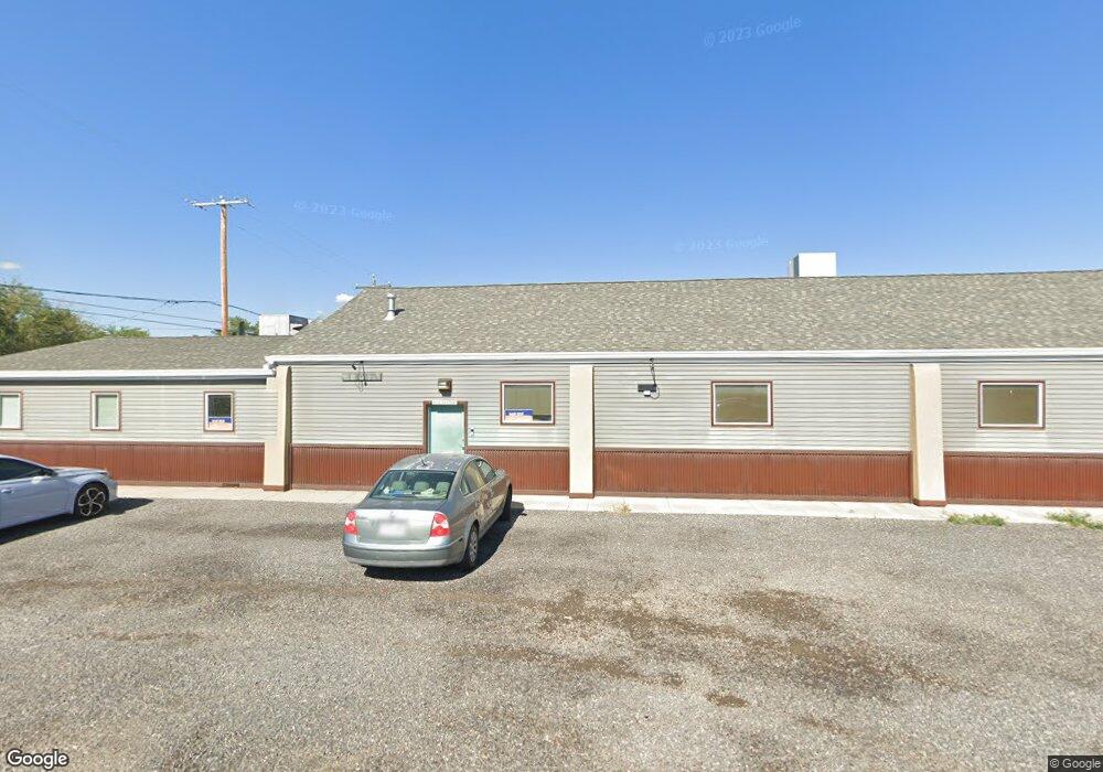
1111 S 9th St Grand Junction, CO 81501
Downtown Grand Junction NeighborhoodEstimated Value: $795,623
--
Bed
--
Bath
4,188
Sq Ft
$190/Sq Ft
Est. Value
About This Home
This home is located at 1111 S 9th St, Grand Junction, CO 81501 and is currently estimated at $795,623, approximately $189 per square foot. 1111 S 9th St is a home located in Mesa County with nearby schools including Chipeta Elementary School, East Middle School, and West Middle School.
Ownership History
Date
Name
Owned For
Owner Type
Purchase Details
Closed on
Jul 29, 2022
Sold by
Stone William L and Livin Sherri
Bought by
C3j Investment Llc
Current Estimated Value
Purchase Details
Closed on
Apr 19, 2019
Sold by
Stone William L
Bought by
William L Stone & Sherri A Stone Liv Tr
Purchase Details
Closed on
Dec 9, 1913
Sold by
Benton Canon'S First Sub-Division Amende
Bought by
Stone William L
Purchase Details
Closed on
Apr 24, 1900
Sold by
Benton Canon'S First Sub-Division Amende
Bought by
Stone William L
Create a Home Valuation Report for This Property
The Home Valuation Report is an in-depth analysis detailing your home's value as well as a comparison with similar homes in the area
Home Values in the Area
Average Home Value in this Area
Purchase History
| Date | Buyer | Sale Price | Title Company |
|---|---|---|---|
| C3j Investment Llc | $725,000 | None Listed On Document | |
| William L Stone & Sherri A Stone Liv Tr | -- | None Available | |
| Stone William L | -- | -- | |
| Stone William L | -- | -- |
Source: Public Records
Tax History Compared to Growth
Tax History
| Year | Tax Paid | Tax Assessment Tax Assessment Total Assessment is a certain percentage of the fair market value that is determined by local assessors to be the total taxable value of land and additions on the property. | Land | Improvement |
|---|---|---|---|---|
| 2024 | $9,871 | $138,160 | $7,370 | $130,790 |
| 2023 | $9,871 | $138,160 | $7,370 | $130,790 |
| 2022 | $6,394 | $88,710 | $10,010 | $78,700 |
| 2021 | $6,237 | $88,710 | $10,010 | $78,700 |
| 2020 | $5,379 | $78,290 | $10,010 | $68,280 |
| 2019 | $5,086 | $78,290 | $10,010 | $68,280 |
| 2018 | $4,184 | $59,130 | $11,860 | $47,270 |
| 2017 | $2,229 | $59,130 | $11,860 | $47,270 |
| 2016 | $2,229 | $35,540 | $12,490 | $23,050 |
| 2015 | $2,258 | $35,540 | $12,490 | $23,050 |
| 2014 | $2,579 | $40,910 | $13,430 | $27,480 |
Source: Public Records
Map
Nearby Homes
- 1100 Santa Clara Ave
- 1102 Santa Clara Ave
- 1753 Palisade St
- 1178 Micaelas Place
- 1755 Christopher Ct
- 1769 Christopher Ct
- 1773 Christopher Ct
- 818 Colorado Ave
- 1860 Palisade St
- 1830 David St
- 744 Colorado Ave
- 1002 Colorado Ave
- 1055 Glenwood Dr
- 288 27 Rd
- 1062 Main St
- 757 Highway 50
- 260 Ute Ave
- 1341 Main St
- 600 Lawrence Ave Unit 5
- 1314 Main St
- 1126 S 9th St
- 860 Kimball Ave
- 860 Kimball Ave Unit A & B
- 850 Kimball Ave
- 824 Kimball Ave
- 831 Noland Ave
- 902 Kimball Ave
- 822 Noland Ave
- 912 Kimball Ave
- 0 Noland Ave Unit 636699
- 0 Noland Ave Unit 600819
- 0 Noland Ave Unit 636694
- 819 Noland Ave
- 820 Kimball Ave
- 820 Noland Ave
- 1040 S 9th St
- 814 Noland Ave
- 857 Kimball Ave
- 811 Noland Ave
- 1010 Kimball Ave