11118 Roeding Rd Denair, CA 95316
Estimated Value: $1,139,000 - $2,085,000
3
Beds
4
Baths
3,200
Sq Ft
$540/Sq Ft
Est. Value
About This Home
This home is located at 11118 Roeding Rd, Denair, CA 95316 and is currently estimated at $1,727,645, approximately $539 per square foot. 11118 Roeding Rd is a home located in Stanislaus County.
Ownership History
Date
Name
Owned For
Owner Type
Purchase Details
Closed on
Apr 20, 2021
Sold by
Skonovd Brian and Skonovd Andrea
Bought by
Baptista Richard D and The R Baptista 2017 Trust Date
Current Estimated Value
Home Financials for this Owner
Home Financials are based on the most recent Mortgage that was taken out on this home.
Original Mortgage
$455,000
Interest Rate
2.93%
Mortgage Type
Commercial
Purchase Details
Closed on
Jul 28, 2008
Sold by
Almy John
Bought by
Skonovd Brian and Skonovd Andrea
Create a Home Valuation Report for This Property
The Home Valuation Report is an in-depth analysis detailing your home's value as well as a comparison with similar homes in the area
Purchase History
| Date | Buyer | Sale Price | Title Company |
|---|---|---|---|
| Baptista Richard D | $1,800,000 | Stewart Title Of Ca Inc | |
| Skonovd Brian | $780,000 | Stewart Title Of California |
Source: Public Records
Mortgage History
| Date | Status | Borrower | Loan Amount |
|---|---|---|---|
| Previous Owner | Baptista Richard D | $455,000 |
Source: Public Records
Tax History
| Year | Tax Paid | Tax Assessment Tax Assessment Total Assessment is a certain percentage of the fair market value that is determined by local assessors to be the total taxable value of land and additions on the property. | Land | Improvement |
|---|---|---|---|---|
| 2025 | $13,916 | $1,265,778 | $361,292 | $904,486 |
| 2024 | $14,201 | $1,253,661 | $370,701 | $882,960 |
| 2023 | $13,578 | $1,204,584 | $372,988 | $831,596 |
| 2022 | $12,960 | $1,147,739 | $367,318 | $780,421 |
| 2021 | $11,520 | $1,039,449 | $358,550 | $680,899 |
| 2020 | $11,290 | $1,023,847 | $332,725 | $691,122 |
| 2019 | $10,376 | $929,213 | $325,204 | $604,009 |
| 2018 | $9,403 | $842,646 | $262,440 | $580,206 |
| 2017 | $8,953 | $780,319 | $222,497 | $557,822 |
| 2016 | $7,934 | $701,995 | $227,239 | $474,756 |
| 2015 | $7,192 | $634,387 | $167,131 | $467,256 |
| 2014 | $6,645 | $579,722 | $135,215 | $444,507 |
Source: Public Records
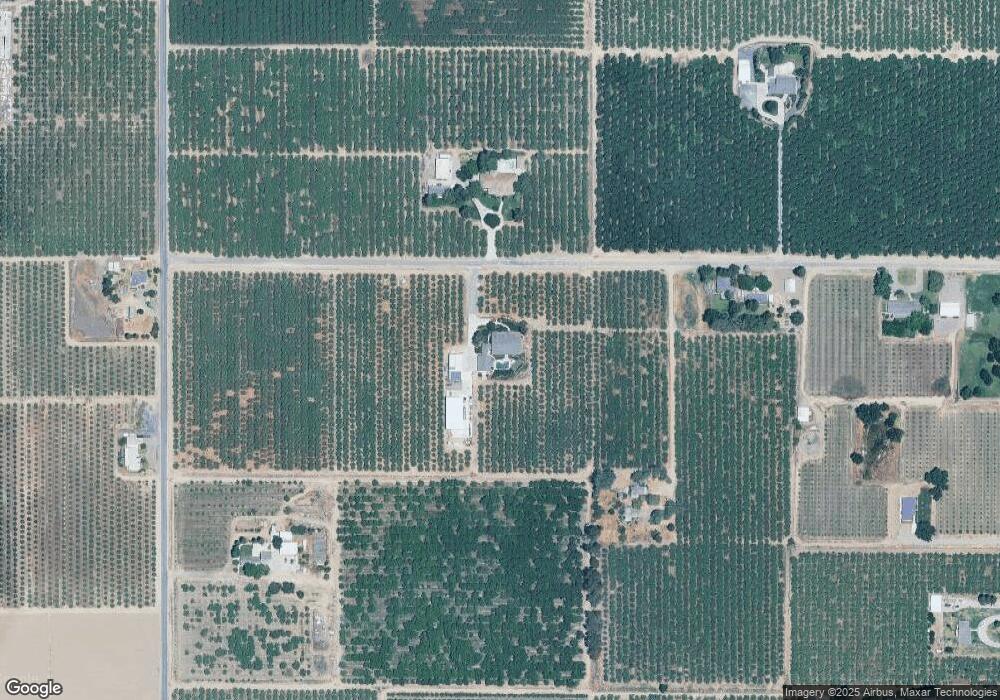
Map
Nearby Homes
- 4621 Swanson Rd
- 1342 Hickman Rd
- 966 Elma St
- 770 Merriam Rd
- 830 Montpelier Rd
- 13571 Wimer
- 13807 Dallas Rd
- 328 Burns Creek Ct
- 4541 N Gratton Rd
- 12073 Yosemite Blvd
- 5331 Geer Rd
- 218 N Eucalyptus Ave
- 4317 Roy Dan Ln
- 4301 Windgate Dr
- 4201 Chalmer Ct
- 4117 Windgate Dr
- 4215 Riopel Ave
- 7708 Path Dr
- 12011 Reid Ct
- 4124 N Gratton Rd
- 11139 Roeding Rd
- 11200 Roeding Rd
- 11242 Roeding Rd
- 3530 S Gratton Rd
- 11245 Roeding Rd
- 3413 S Gratton Rd
- 3307 S Gratton Rd
- 11336 Roeding Rd
- 2904 S Gratton Rd
- 3431 Swanson Rd
- 3701 Swanson Rd
- 3617 Swanson Rd
- 3312 Swanson Rd
- 3312 Swanson Rd
- 2906 S Gratton Rd
- 2901 S Gratton Rd
- 3007 Swanson Rd
- 3636 Swanson Rd
- 3731 Swanson Rd
- 2831 S Gratton Rd
Your Personal Tour Guide
Ask me questions while you tour the home.