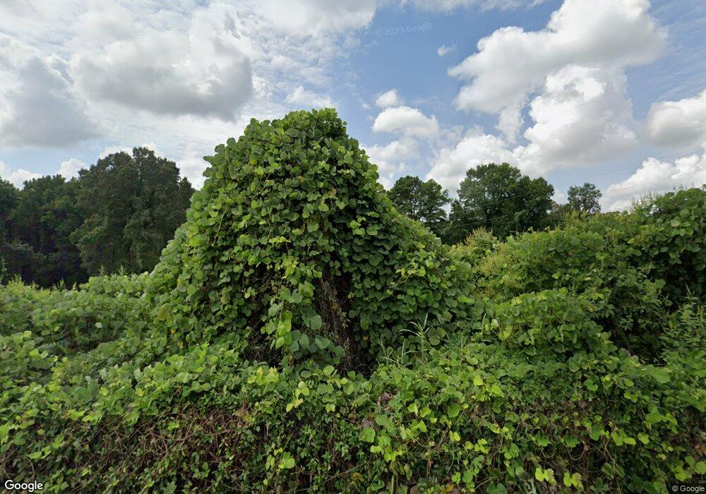
11125 Williams Rd E Hernando, MS 38632
Lake Cormorant NeighborhoodEstimated Value: $294,000 - $363,000
3
Beds
--
Bath
2,567
Sq Ft
$129/Sq Ft
Est. Value
About This Home
This home is located at 11125 Williams Rd E, Hernando, MS 38632 and is currently estimated at $330,840, approximately $128 per square foot. 11125 Williams Rd E is a home located in DeSoto County with nearby schools including Lake Cormorant Elementary School, Horn Lake Intermediate School, and Horn Lake Middle School.
Ownership History
Date
Name
Owned For
Owner Type
Purchase Details
Closed on
May 13, 2022
Sold by
Clint Manus Thomas
Bought by
Stuart Zachary and Stuart Casey
Current Estimated Value
Purchase Details
Closed on
May 8, 2020
Sold by
Harper Charles David
Bought by
Harper David Joshua
Home Financials for this Owner
Home Financials are based on the most recent Mortgage that was taken out on this home.
Original Mortgage
$41,785
Interest Rate
3.5%
Mortgage Type
Commercial
Create a Home Valuation Report for This Property
The Home Valuation Report is an in-depth analysis detailing your home's value as well as a comparison with similar homes in the area
Home Values in the Area
Average Home Value in this Area
Purchase History
| Date | Buyer | Sale Price | Title Company |
|---|---|---|---|
| Stuart Zachary | -- | Austin Law Firm Pa | |
| Harper David Joshua | -- | None Available |
Source: Public Records
Mortgage History
| Date | Status | Borrower | Loan Amount |
|---|---|---|---|
| Previous Owner | Harper David Joshua | $41,785 |
Source: Public Records
Tax History
| Year | Tax Paid | Tax Assessment Tax Assessment Total Assessment is a certain percentage of the fair market value that is determined by local assessors to be the total taxable value of land and additions on the property. | Land | Improvement |
|---|---|---|---|---|
| 2025 | $629 | $15,128 | $3,766 | $11,362 |
| 2024 | $763 | $15,127 | $3,765 | $11,362 |
| 2023 | $763 | $15,129 | $0 | $0 |
| 2022 | $758 | $15,086 | $3,724 | $11,362 |
| 2021 | $759 | $15,089 | $3,727 | $11,362 |
| 2020 | $668 | $14,183 | $0 | $0 |
| 2019 | $669 | $14,187 | $3,734 | $10,453 |
| 2017 | $1,078 | $23,636 | $13,687 | $9,949 |
| 2016 | $1,072 | $13,608 | $3,770 | $9,838 |
| 2015 | $1,370 | $23,446 | $13,608 | $9,838 |
| 2014 | $1,069 | $13,596 | $0 | $0 |
| 2013 | $1,069 | $13,586 | $0 | $0 |
Source: Public Records
Map
Nearby Homes
- 4577 Bluff Rd
- 10883 Loch Venarcher Cove
- 3620 Councils Ford Cove
- 10819 Glen Cairn Cove
- 10680 High Rd
- 10653 Ben Lomond Cove
- 0 Woodland Lake Dr
- 11050 Elm Dr
- 3740 Mississippi 301
- 0 Bend Rd Unit 4110952
- 10213 Emerald Forest Dr
- 2311 Pocahontas Cove
- 2297 Highway 301 S
- 2030 Keowee Cove
- 0 Sequoyah Dr
- 1944 Konawa
- 3165 Grand Oaks Dr
- 11048 Horseshoe Bend
- 11015 Horseshoe Bend
- 2234 Mississippi 301
- 5368 Kahuna Cove
- 5378 Lani Cove
- 5376 Williams Rd
- 5264 Koko Reef Dr
- 5360 Kahuna Cove
- 5274 Kahuna Cove
- 5244 Waikiki Cove
- 5305 Waikiki Cove
- 5385 Lani Cove
- 0 Waikiki Cove Unit 2297387
- 0 Waikiki Cove Unit 2299713
- 0 Waikiki Cove Unit 2301916
- 0 Waikiki Cove Unit 2316382
- 5414 Boka Cove
- 9 Boka Cove
- 5282 Kahuna Cove
- 5352 Kahuna Cove
- 0 Boka Cove
- 5290 Kahuna Cove
- 5487 Williams Rd
