1114 Snowcap Trail Unit 1 Redding, CA 96003
Boulder Creek NeighborhoodEstimated Value: $361,000 - $459,000
3
Beds
2
Baths
1,932
Sq Ft
$213/Sq Ft
Est. Value
About This Home
This home is located at 1114 Snowcap Trail Unit 1, Redding, CA 96003 and is currently estimated at $412,301, approximately $213 per square foot. 1114 Snowcap Trail Unit 1 is a home located in Shasta County with nearby schools including Boulder Creek Elementary School, Enterprise High School, and Shasta View Academy.
Ownership History
Date
Name
Owned For
Owner Type
Purchase Details
Closed on
Jan 31, 2019
Sold by
Risk Thomas J and Risk Betty A
Bought by
Risk Thomas J and Risk Betty Jane A
Current Estimated Value
Purchase Details
Closed on
Jul 24, 2002
Sold by
Redwood Shasta Investors Lp
Bought by
Risk Thomas J and Risk Betty A
Home Financials for this Owner
Home Financials are based on the most recent Mortgage that was taken out on this home.
Original Mortgage
$95,000
Outstanding Balance
$40,244
Interest Rate
6.7%
Estimated Equity
$372,057
Create a Home Valuation Report for This Property
The Home Valuation Report is an in-depth analysis detailing your home's value as well as a comparison with similar homes in the area
Home Values in the Area
Average Home Value in this Area
Purchase History
| Date | Buyer | Sale Price | Title Company |
|---|---|---|---|
| Risk Thomas J | -- | None Available | |
| Risk Thomas J | $180,500 | Chicago Title Co |
Source: Public Records
Mortgage History
| Date | Status | Borrower | Loan Amount |
|---|---|---|---|
| Open | Risk Thomas J | $95,000 |
Source: Public Records
Tax History
| Year | Tax Paid | Tax Assessment Tax Assessment Total Assessment is a certain percentage of the fair market value that is determined by local assessors to be the total taxable value of land and additions on the property. | Land | Improvement |
|---|---|---|---|---|
| 2025 | $3,358 | $304,128 | $43,438 | $260,690 |
| 2024 | $3,309 | $298,166 | $42,587 | $255,579 |
| 2023 | $3,309 | $292,320 | $41,752 | $250,568 |
| 2022 | $3,207 | $286,589 | $40,934 | $245,655 |
| 2021 | $3,126 | $280,971 | $40,132 | $240,839 |
| 2020 | $3,090 | $278,091 | $39,721 | $238,370 |
| 2019 | $3,062 | $272,640 | $38,943 | $233,697 |
| 2018 | $3,049 | $267,295 | $38,180 | $229,115 |
| 2017 | $3,097 | $262,055 | $37,432 | $224,623 |
| 2016 | $2,902 | $256,918 | $36,699 | $220,219 |
| 2015 | $2,876 | $253,060 | $36,148 | $216,912 |
| 2014 | $2,608 | $225,000 | $40,000 | $185,000 |
Source: Public Records
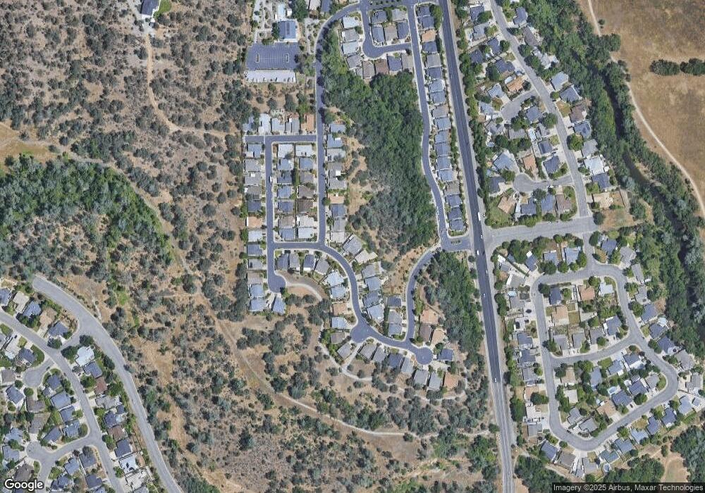
Map
Nearby Homes
- 790 Volcano View Trail
- 667 Reddington Dr
- 332 Franciscan Trail
- 1230 Whistling Dr
- 592 Mill Valley Pkwy
- 771 Flower Ash Ln
- 825 Mission Sierra Ct
- 550 Armando Ave
- 1088 Burton Dr
- 450 Country Oak Dr
- 856 Mission de Oro Dr
- 19219 Nike Ct
- 2199 Princeton Way
- 707 Alamine Dr
- 1285 Lancers Ln
- 662 Ansley Ct
- 19011 Freda Ln
- 5663 Terra Linda Way
- 547 Casa Buena St
- 720 Stonebriar Trail
- 1116 Snowcap Trail
- 1124 Snowcap Trail
- 1119 Golden Gate Trail
- 1134 Snowcap Trail
- 1101 Snowcap Trail
- 1111 Snowcap Trail
- 1135 Golden Gate Trail
- 1150 Snowcap Trail
- 1083 Snowcap Trail
- 1083 Snowcap 1weup7o4x02b
- 1102 Golden Gate Trail
- 1121 Snowcap Trail
- 1151 Golden Gate Trail
- 1120 Golden Gate Trail
- 1166 Snowcap Trail
- 1043 Snowcap Trail
- 1138 Golden Gate Trail
- 1131 Snowcap Trail
- 1150 Palacio Dr
- 694 Volcano View Trail
Your Personal Tour Guide
Ask me questions while you tour the home.