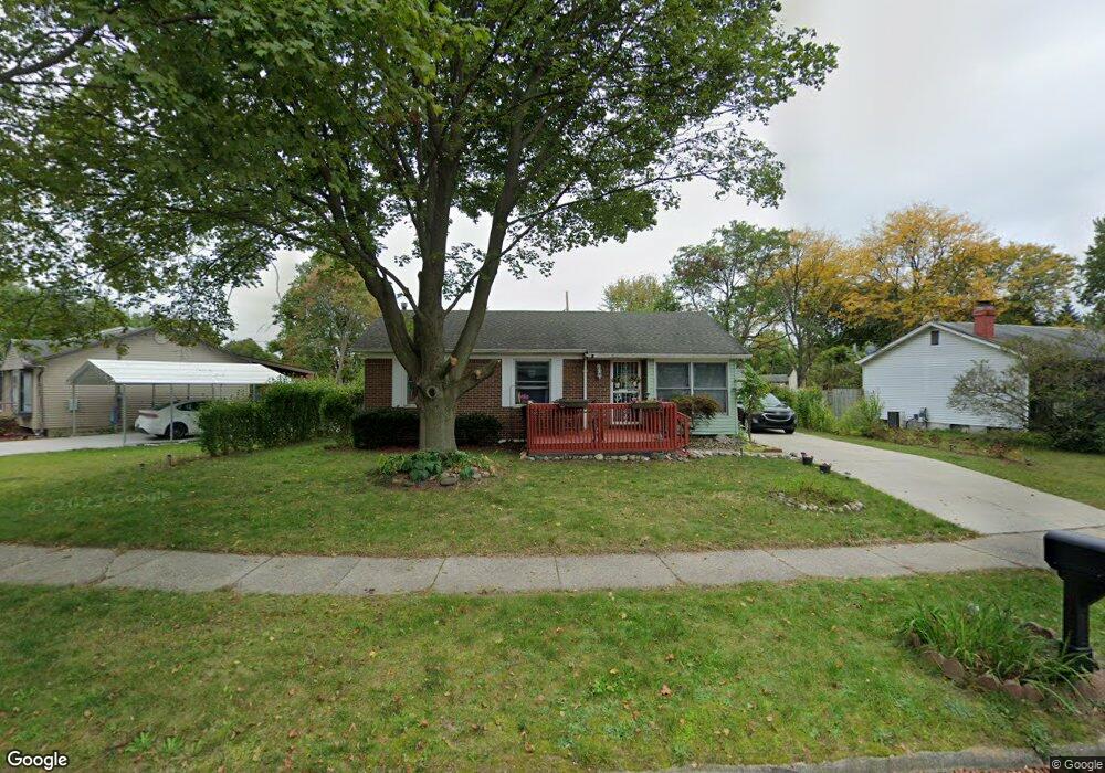
1115 Mel Ave Lansing, MI 48911
Southern Lansing NeighborhoodEstimated Value: $115,562 - $170,000
--
Bed
--
Bath
939
Sq Ft
$152/Sq Ft
Est. Value
About This Home
This home is located at 1115 Mel Ave, Lansing, MI 48911 and is currently estimated at $142,391, approximately $151 per square foot. 1115 Mel Ave is a home located in Ingham County with nearby schools including Reo Elementary School, Attwood School, and Everett High School.
Ownership History
Date
Name
Owned For
Owner Type
Purchase Details
Closed on
Apr 18, 2025
Sold by
Murray Alan
Bought by
Alcantar Mariaelena and Murray Alan James
Current Estimated Value
Home Financials for this Owner
Home Financials are based on the most recent Mortgage that was taken out on this home.
Original Mortgage
$83,000
Outstanding Balance
$82,632
Interest Rate
6.65%
Mortgage Type
New Conventional
Estimated Equity
$59,759
Purchase Details
Closed on
Dec 13, 2005
Sold by
Brown Deborah D
Bought by
Murray Alan
Home Financials for this Owner
Home Financials are based on the most recent Mortgage that was taken out on this home.
Original Mortgage
$76,700
Interest Rate
6.62%
Mortgage Type
Fannie Mae Freddie Mac
Purchase Details
Closed on
Apr 11, 1997
Sold by
Wells Gary L
Bought by
Brown Deborah D
Create a Home Valuation Report for This Property
The Home Valuation Report is an in-depth analysis detailing your home's value as well as a comparison with similar homes in the area
Home Values in the Area
Average Home Value in this Area
Purchase History
| Date | Buyer | Sale Price | Title Company |
|---|---|---|---|
| Alcantar Mariaelena | -- | Liberty Title | |
| Murray Alan | $95,900 | Fatic | |
| Brown Deborah D | $65,800 | -- |
Source: Public Records
Mortgage History
| Date | Status | Borrower | Loan Amount |
|---|---|---|---|
| Open | Alcantar Mariaelena | $83,000 | |
| Previous Owner | Murray Alan | $76,700 |
Source: Public Records
Tax History Compared to Growth
Tax History
| Year | Tax Paid | Tax Assessment Tax Assessment Total Assessment is a certain percentage of the fair market value that is determined by local assessors to be the total taxable value of land and additions on the property. | Land | Improvement |
|---|---|---|---|---|
| 2025 | $2,416 | $65,500 | $10,000 | $55,500 |
| 2024 | $19 | $55,300 | $10,000 | $45,300 |
| 2023 | $2,266 | $50,800 | $10,000 | $40,800 |
| 2022 | $2,045 | $44,400 | $9,200 | $35,200 |
| 2021 | $2,002 | $42,800 | $7,600 | $35,200 |
| 2020 | $1,990 | $41,300 | $7,600 | $33,700 |
| 2019 | $1,906 | $36,500 | $7,600 | $28,900 |
| 2018 | $1,788 | $32,200 | $7,600 | $24,600 |
| 2017 | $1,711 | $32,200 | $7,600 | $24,600 |
| 2016 | $1,661 | $29,900 | $7,600 | $22,300 |
| 2015 | $1,661 | $29,100 | $15,146 | $13,954 |
| 2014 | $1,661 | $29,100 | $22,719 | $6,381 |
Source: Public Records
Map
Nearby Homes
- 1014 W Northrup St
- 5750 Ashley Dr
- 0 W Jolly Rd
- 1020 R G Curtiss Ave
- 5026 Delray Dr Unit A
- 5006 Delbrook Ave
- 4935 Delray Dr
- 4916 Tressa Dr
- 1324 N Briarfield Dr
- 833 Dornell Ave
- 0 Midwood St
- 5838 S Martin Luther King Junior Blvd
- 6037 Hughes Rd
- 5902 Hilliard Rd
- 5636 Ellendale Dr
- 1119 W Miller Rd
- 2045 Moffitt St
- 1415 Reo Rd
- 129 Village Dr
- 1420 Reo Rd