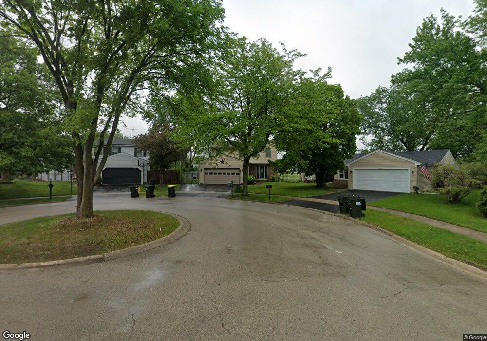
1115 Singleton Dr Roselle, IL 60172
Estimated Value: $395,944 - $425,000
3
Beds
2
Baths
1,530
Sq Ft
$269/Sq Ft
Est. Value
About This Home
This home is located at 1115 Singleton Dr, Roselle, IL 60172 and is currently estimated at $411,236, approximately $268 per square foot. 1115 Singleton Dr is a home located in DuPage County with nearby schools including Waterbury Elementary School, Spring Wood Middle School, and Lake Park High School.
Ownership History
Date
Name
Owned For
Owner Type
Purchase Details
Closed on
Jun 22, 1998
Sold by
Lenahan Timothy S and Lenahan Catherine M
Bought by
Klinkner Joseph D and Klinkner Patricia A
Current Estimated Value
Home Financials for this Owner
Home Financials are based on the most recent Mortgage that was taken out on this home.
Original Mortgage
$150,716
Outstanding Balance
$30,467
Interest Rate
7.17%
Mortgage Type
FHA
Estimated Equity
$380,769
Create a Home Valuation Report for This Property
The Home Valuation Report is an in-depth analysis detailing your home's value as well as a comparison with similar homes in the area
Home Values in the Area
Average Home Value in this Area
Purchase History
| Date | Buyer | Sale Price | Title Company |
|---|---|---|---|
| Klinkner Joseph D | $154,500 | Premier Title Company |
Source: Public Records
Mortgage History
| Date | Status | Borrower | Loan Amount |
|---|---|---|---|
| Open | Klinkner Joseph D | $150,716 |
Source: Public Records
Tax History
| Year | Tax Paid | Tax Assessment Tax Assessment Total Assessment is a certain percentage of the fair market value that is determined by local assessors to be the total taxable value of land and additions on the property. | Land | Improvement |
|---|---|---|---|---|
| 2024 | $7,790 | $111,505 | $35,397 | $76,108 |
| 2023 | $7,207 | $101,970 | $32,370 | $69,600 |
| 2022 | $7,155 | $99,110 | $32,160 | $66,950 |
| 2021 | $6,837 | $94,170 | $30,560 | $63,610 |
| 2020 | $6,870 | $91,870 | $29,810 | $62,060 |
| 2019 | $6,657 | $88,290 | $28,650 | $59,640 |
| 2018 | $6,652 | $85,980 | $27,900 | $58,080 |
| 2017 | $6,351 | $79,690 | $25,860 | $53,830 |
| 2016 | $6,101 | $73,750 | $23,930 | $49,820 |
| 2015 | $6,020 | $68,820 | $22,330 | $46,490 |
| 2014 | $5,485 | $62,810 | $22,330 | $40,480 |
| 2013 | $5,440 | $64,960 | $23,090 | $41,870 |
Source: Public Records
Map
Nearby Homes
- 110 Andover Dr
- 425 Norman Ln
- 24W737 Central Ave
- 555 Rodenburg Rd
- 760 Longford Dr
- 1396 Carriage Way
- 1408 Welland Ct Unit 13701
- 580 Francesca Ln
- 575 Bobby Ann Ct Unit 575
- 871 Rosebud Ct
- 323 Sheffield Ct Unit 5
- 843 Rosebud Ct Unit 843
- 283 Ashbury Ln W Unit 15266
- 1560 Thornfield Ln Unit 3
- 6N505 Gary Ave
- 130 W End Rd
- 6N632 Gary Ave
- 24W330 Central Ave
- 7N240 W End Rd
- Lot Foster Ave
- 1120 Singleton Dr
- 1113 Singleton Dr
- 1124 Singleton Dr
- 1109 Singleton Dr
- 1125 Colony Ln
- 1130 Singleton Dr
- 1105 Singleton Dr
- 1135 Colony Ln
- 1115 Colony Ln
- 1134 Singleton Dr
- 1110 Singleton Dr
- 1125 Singleton Dr
- 1101 Singleton Dr
- 1145 Colony Ln
- 1140 Singleton Dr
- 1105 Colony Ln
- 1135 Singleton Dr
- 1103 Darby Ln
- 1155 Colony Ln
- 1150 Singleton Dr
Your Personal Tour Guide
Ask me questions while you tour the home.