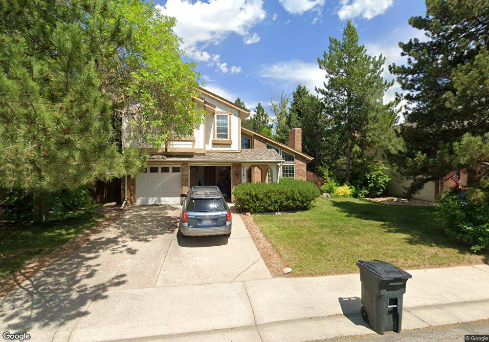
11161 Main Range Trail Littleton, CO 80127
Estimated Value: $793,514 - $916,000
4
Beds
3
Baths
2,657
Sq Ft
$332/Sq Ft
Est. Value
About This Home
This home is located at 11161 Main Range Trail, Littleton, CO 80127 and is currently estimated at $881,129, approximately $331 per square foot. 11161 Main Range Trail is a home located in Jefferson County with nearby schools including Shaffer Elementary School, Falcon Bluffs Middle School, and Chatfield High School.
Ownership History
Date
Name
Owned For
Owner Type
Purchase Details
Closed on
Nov 10, 2011
Sold by
Adams Katherine L
Bought by
Smith Charles and Borucka Smith Magdalena
Current Estimated Value
Home Financials for this Owner
Home Financials are based on the most recent Mortgage that was taken out on this home.
Original Mortgage
$276,000
Outstanding Balance
$188,750
Interest Rate
4.08%
Mortgage Type
New Conventional
Estimated Equity
$692,379
Purchase Details
Closed on
Mar 3, 2006
Sold by
Orren David R
Bought by
Adams Katherine L
Home Financials for this Owner
Home Financials are based on the most recent Mortgage that was taken out on this home.
Original Mortgage
$278,000
Interest Rate
6.19%
Mortgage Type
Fannie Mae Freddie Mac
Purchase Details
Closed on
Aug 15, 2001
Sold by
Stonig Jean B
Bought by
Stonig Christine E and Stonig Jean B
Home Financials for this Owner
Home Financials are based on the most recent Mortgage that was taken out on this home.
Original Mortgage
$380,000
Interest Rate
6.98%
Mortgage Type
Construction
Purchase Details
Closed on
Mar 28, 1996
Sold by
Teague Thomas Ervin and Teague Susan Thomsen
Bought by
Orren David R
Home Financials for this Owner
Home Financials are based on the most recent Mortgage that was taken out on this home.
Original Mortgage
$168,000
Interest Rate
6.92%
Create a Home Valuation Report for This Property
The Home Valuation Report is an in-depth analysis detailing your home's value as well as a comparison with similar homes in the area
Home Values in the Area
Average Home Value in this Area
Purchase History
| Date | Buyer | Sale Price | Title Company |
|---|---|---|---|
| Smith Charles | $345,000 | Land Title Guarantee Company | |
| Adams Katherine L | $358,000 | Chicago Title Co | |
| Stonig Christine E | -- | Chicago Title Co | |
| Orren David R | $210,000 | North American Title |
Source: Public Records
Mortgage History
| Date | Status | Borrower | Loan Amount |
|---|---|---|---|
| Open | Smith Charles | $276,000 | |
| Previous Owner | Adams Katherine L | $278,000 | |
| Previous Owner | Stonig Christine E | $380,000 | |
| Previous Owner | Orren David R | $168,000 |
Source: Public Records
Tax History Compared to Growth
Tax History
| Year | Tax Paid | Tax Assessment Tax Assessment Total Assessment is a certain percentage of the fair market value that is determined by local assessors to be the total taxable value of land and additions on the property. | Land | Improvement |
|---|---|---|---|---|
| 2024 | $5,138 | $47,990 | $11,790 | $36,200 |
| 2023 | $5,138 | $47,990 | $11,790 | $36,200 |
| 2022 | $4,312 | $39,392 | $9,486 | $29,906 |
| 2021 | $4,378 | $40,526 | $9,759 | $30,767 |
| 2020 | $4,061 | $37,709 | $9,230 | $28,479 |
| 2019 | $4,012 | $37,709 | $9,230 | $28,479 |
| 2018 | $3,581 | $32,497 | $8,076 | $24,421 |
| 2017 | $3,330 | $32,497 | $8,076 | $24,421 |
| 2016 | $3,347 | $30,916 | $8,851 | $22,065 |
| 2015 | $3,182 | $30,916 | $8,851 | $22,065 |
| 2014 | $3,182 | $27,691 | $7,353 | $20,338 |
Source: Public Records
Map
Nearby Homes
- 11235 San Joaquin Ridge
- 7646 S Bear Mountain
- 8140 S Storm King Peak
- 7825 Sand Mountain
- 7462 S Quail Cir Unit 426
- 11673 Elk Head Range Rd
- 7433 S Quail Cir Unit 1924
- 8196 S Spring Creek Pass
- 11703 Elk Head Range Rd
- 10645 W Sundance Mountain
- 11710 Elk Head Range Rd
- 7413 S Quail Cir Unit 1422
- 7413 S Quail Cir Unit 1435
- 10866 W Half Moon Pass
- 11872 Elk Head Range Rd
- 10685 W Apishapa Pass
- 7369 S Gore Range Rd Unit 208
- 11851 Canyon Ave
- 7474 S Alkire St Unit 203
- 10606 Park Mountain W
- 11131 Main Range Trail
- 11111 Main Range Trail
- 11162 Main Range Trail
- 11132 Main Range Trail
- 11182 Main Range Trail
- 11221 Main Range Trail
- 11072 Main Range Trail
- 7648 S Hahns Peak
- 11071 Main Range Trail
- 11206 San Joaquin Ridge
- 11231 Main Range Trail
- 7716 Gold Dust Peak
- 11042 Main Range Trail
- 7658 S Hahns Peak
- 11216 San Joaquin Ridge
- 7653 Sunshine Peak
- 7715 Gold Dust Peak
- 7628 S Hahns Peak
- 11251 Main Range Trail
- 7726 Gold Dust Peak