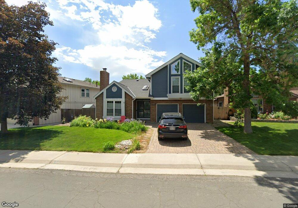
11162 Main Range Trail Littleton, CO 80127
Estimated Value: $764,000 - $913,000
4
Beds
5
Baths
2,931
Sq Ft
$282/Sq Ft
Est. Value
About This Home
This home is located at 11162 Main Range Trail, Littleton, CO 80127 and is currently estimated at $826,183, approximately $281 per square foot. 11162 Main Range Trail is a home located in Jefferson County with nearby schools including Shaffer Elementary School, Falcon Bluffs Middle School, and Chatfield High School.
Ownership History
Date
Name
Owned For
Owner Type
Purchase Details
Closed on
Jul 11, 2019
Sold by
Arroyo Fernando L and Haines Tracy A
Bought by
Haines Tracy A
Current Estimated Value
Purchase Details
Closed on
May 28, 1999
Sold by
Whipple Ronald A and Victoria Whipple A
Bought by
Arroyo Fernando L and Haines Tracy A
Home Financials for this Owner
Home Financials are based on the most recent Mortgage that was taken out on this home.
Original Mortgage
$256,000
Outstanding Balance
$66,737
Interest Rate
6.91%
Estimated Equity
$759,446
Create a Home Valuation Report for This Property
The Home Valuation Report is an in-depth analysis detailing your home's value as well as a comparison with similar homes in the area
Home Values in the Area
Average Home Value in this Area
Purchase History
| Date | Buyer | Sale Price | Title Company |
|---|---|---|---|
| Haines Tracy A | -- | None Available | |
| Arroyo Fernando L | $269,500 | Land Title |
Source: Public Records
Mortgage History
| Date | Status | Borrower | Loan Amount |
|---|---|---|---|
| Open | Arroyo Fernando L | $256,000 |
Source: Public Records
Tax History Compared to Growth
Tax History
| Year | Tax Paid | Tax Assessment Tax Assessment Total Assessment is a certain percentage of the fair market value that is determined by local assessors to be the total taxable value of land and additions on the property. | Land | Improvement |
|---|---|---|---|---|
| 2024 | $4,754 | $44,403 | $9,374 | $35,029 |
| 2023 | $4,754 | $44,403 | $9,374 | $35,029 |
| 2022 | $4,002 | $36,562 | $7,698 | $28,864 |
| 2021 | $4,064 | $37,615 | $7,920 | $29,695 |
| 2020 | $3,650 | $33,895 | $6,708 | $27,187 |
| 2019 | $3,607 | $33,895 | $6,708 | $27,187 |
| 2018 | $3,185 | $28,907 | $5,893 | $23,014 |
| 2017 | $2,962 | $28,907 | $5,893 | $23,014 |
| 2016 | $3,346 | $30,900 | $8,429 | $22,471 |
| 2015 | $2,996 | $30,900 | $8,429 | $22,471 |
| 2014 | $2,996 | $26,076 | $6,685 | $19,391 |
Source: Public Records
Map
Nearby Homes
- 11235 San Joaquin Ridge
- 7646 S Bear Mountain
- 8140 S Storm King Peak
- 7825 Sand Mountain
- 7462 S Quail Cir Unit 426
- 7433 S Quail Cir Unit 1924
- 10645 W Sundance Mountain
- 8196 S Spring Creek Pass
- 11673 Elk Head Range Rd
- 7413 S Quail Cir Unit 1422
- 7413 S Quail Cir Unit 1435
- 11703 Elk Head Range Rd
- 11710 Elk Head Range Rd
- 10866 W Half Moon Pass
- 11872 Elk Head Range Rd
- 10685 W Apishapa Pass
- 10371 W Indore Dr
- 7369 S Gore Range Rd Unit 208
- 10606 Park Mountain W
- 10328 W Crestone Mountain
- 11182 Main Range Trail
- 11132 Main Range Trail
- 7716 Gold Dust Peak
- 11072 Main Range Trail
- 11161 Main Range Trail
- 11042 Main Range Trail
- 7726 Gold Dust Peak
- 7715 Gold Dust Peak
- 11131 Main Range Trail
- 11111 Main Range Trail
- 11206 San Joaquin Ridge
- 11022 Main Range Trail
- 11216 San Joaquin Ridge
- 11071 Main Range Trail
- 7736 Gold Dust Peak
- 7725 Gold Dust Peak
- 11226 San Joaquin Ridge
- 7653 Sunshine Peak
- 11012 Main Range Trail
- 7723 Gunsight Pass