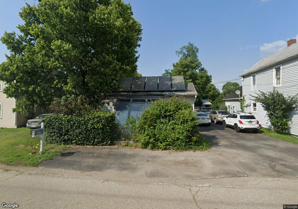
1117 Forrer St Middletown, OH 45044
Amanda-Oneida NeighborhoodEstimated Value: $122,977 - $174,000
3
Beds
1
Bath
1,860
Sq Ft
$84/Sq Ft
Est. Value
About This Home
This home is located at 1117 Forrer St, Middletown, OH 45044 and is currently estimated at $156,744, approximately $84 per square foot. 1117 Forrer St is a home located in Butler County with nearby schools including Amanda Elementary School, Highview 6th Grade Center, and Middletown Middle School.
Ownership History
Date
Name
Owned For
Owner Type
Purchase Details
Closed on
Jun 17, 2025
Sold by
Blevins Michael S
Bought by
Blevins Michael S and Blevins Arcelia
Current Estimated Value
Home Financials for this Owner
Home Financials are based on the most recent Mortgage that was taken out on this home.
Original Mortgage
$105,800
Outstanding Balance
$105,437
Interest Rate
6.81%
Mortgage Type
New Conventional
Estimated Equity
$51,307
Create a Home Valuation Report for This Property
The Home Valuation Report is an in-depth analysis detailing your home's value as well as a comparison with similar homes in the area
Home Values in the Area
Average Home Value in this Area
Purchase History
| Date | Buyer | Sale Price | Title Company |
|---|---|---|---|
| Blevins Michael S | -- | None Listed On Document | |
| Blevins Michael S | -- | None Listed On Document |
Source: Public Records
Mortgage History
| Date | Status | Borrower | Loan Amount |
|---|---|---|---|
| Open | Blevins Michael S | $105,800 | |
| Closed | Blevins Michael S | $105,800 |
Source: Public Records
Tax History
| Year | Tax Paid | Tax Assessment Tax Assessment Total Assessment is a certain percentage of the fair market value that is determined by local assessors to be the total taxable value of land and additions on the property. | Land | Improvement |
|---|---|---|---|---|
| 2025 | $1,003 | $19,220 | $5,520 | $13,700 |
| 2024 | $1,003 | $19,220 | $5,520 | $13,700 |
| 2023 | $994 | $21,560 | $5,520 | $16,040 |
| 2022 | $383 | $6,470 | $5,520 | $950 |
| 2021 | $368 | $6,470 | $5,520 | $950 |
| 2020 | $383 | $6,470 | $5,520 | $950 |
| 2019 | $1,148 | $15,840 | $5,500 | $10,340 |
| 2018 | $1,006 | $15,840 | $5,500 | $10,340 |
| 2017 | $1,008 | $15,840 | $5,500 | $10,340 |
| 2016 | $917 | $13,790 | $5,500 | $8,290 |
| 2015 | $897 | $13,790 | $5,500 | $8,290 |
| 2014 | $806 | $13,790 | $5,500 | $8,290 |
| 2013 | $806 | $13,380 | $5,500 | $7,880 |
Source: Public Records
Map
Nearby Homes
- 3202 Ben Harrison St
- 3113 Rufus St
- 604 Diamond Loop
- 1505 Pershing Ave
- 3127 Andrew St
- 2633 Ruby Ln
- 3210 Finley St
- 1613 Sheridan Ave
- 712 Buena Ave
- 2804 Yankee Rd
- 3221 Yankee Rd
- 609 Buena Ave
- 3222 Mohawk St
- 3102 Omaha St
- 3101 Omaha St
- 1808 Meadow Ave
- 1619 Lafayette Ave
- 2924 Seneca St
- 1503 Brown St
- 3209 Seneca St
- 1201 Forrer St
- 1203 Forrer St
- 1109 Forrer St
- 1205 Forrer St
- 1205 Forrer St
- 1207 Forrer St
- 1200 Forrer St
- 1198 Forrer St
- 1202 Forrer St
- 3114 Judy Dr
- 1107 Forrer St
- 1204 Forrer St
- 3120 Judy Dr
- 1108 Forrer St
- 1206 Forrer St
- 3112 Judy Dr
- 3109 Ben Harrison St
- 1208 Forrer St
- 3113 Ben Harrison St
- 3111 Ben Harrison St
Your Personal Tour Guide
Ask me questions while you tour the home.