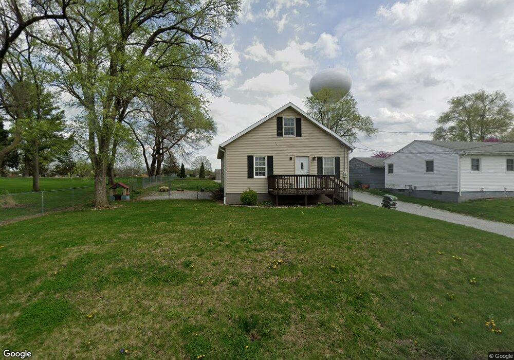
1117 Hacker St Buffalo, IA 52728
Estimated Value: $138,000 - $217,000
2
Beds
2
Baths
983
Sq Ft
$179/Sq Ft
Est. Value
About This Home
This home is located at 1117 Hacker St, Buffalo, IA 52728 and is currently estimated at $175,936, approximately $178 per square foot. 1117 Hacker St is a home located in Scott County with nearby schools including Buffalo Elementary School, Walcott Intermediate School, and West High School.
Ownership History
Date
Name
Owned For
Owner Type
Purchase Details
Closed on
May 14, 2021
Sold by
Nezworski Andrew D and Nezworski Sheryl L
Bought by
Simmons Kerri J and Bassow Walter
Current Estimated Value
Home Financials for this Owner
Home Financials are based on the most recent Mortgage that was taken out on this home.
Original Mortgage
$135,200
Outstanding Balance
$40,108
Interest Rate
3.1%
Mortgage Type
New Conventional
Estimated Equity
$135,828
Purchase Details
Closed on
Mar 16, 2017
Sold by
Nezworski Andrew D and Nezworski Sheryl L
Bought by
Nezworski Andrew D and Nezworski Sheryl L
Home Financials for this Owner
Home Financials are based on the most recent Mortgage that was taken out on this home.
Original Mortgage
$112,500
Interest Rate
4.15%
Mortgage Type
New Conventional
Create a Home Valuation Report for This Property
The Home Valuation Report is an in-depth analysis detailing your home's value as well as a comparison with similar homes in the area
Home Values in the Area
Average Home Value in this Area
Purchase History
| Date | Buyer | Sale Price | Title Company |
|---|---|---|---|
| Simmons Kerri J | $169,000 | None Available | |
| Nezworski Andrew D | -- | None Available |
Source: Public Records
Mortgage History
| Date | Status | Borrower | Loan Amount |
|---|---|---|---|
| Open | Simmons Kerri J | $135,200 | |
| Previous Owner | Nezworski Andrew D | $112,500 |
Source: Public Records
Tax History
| Year | Tax Paid | Tax Assessment Tax Assessment Total Assessment is a certain percentage of the fair market value that is determined by local assessors to be the total taxable value of land and additions on the property. | Land | Improvement |
|---|---|---|---|---|
| 2025 | $2,426 | $168,300 | $53,000 | $115,300 |
| 2024 | $2,314 | $165,100 | $53,000 | $112,100 |
| 2023 | $2,072 | $165,100 | $53,000 | $112,100 |
| 2022 | $1,878 | $126,340 | $17,740 | $108,600 |
| 2021 | $1,878 | $117,470 | $17,740 | $99,730 |
| 2020 | $1,862 | $115,210 | $17,740 | $97,470 |
| 2019 | $1,852 | $109,400 | $17,740 | $91,660 |
| 2018 | $1,810 | $109,400 | $17,740 | $91,660 |
| 2017 | $608 | $109,400 | $17,740 | $91,660 |
| 2016 | $1,548 | $96,640 | $0 | $0 |
| 2015 | $1,548 | $92,440 | $0 | $0 |
| 2014 | $1,498 | $92,440 | $0 | $0 |
| 2013 | $1,466 | $0 | $0 | $0 |
| 2012 | -- | $92,630 | $17,740 | $74,890 |
Source: Public Records
Map
Nearby Homes
- 107 Hacker St
- 1131 Chestnut St
- 702 - 708 W Front St
- 2 Evergreen Dr
- 5 E Timberline Dr
- 61 W Timberline Dr
- 5 Valley View Dr
- 215 4th St W
- 12080 100th Ave
- Lot 01 95th Ave
- Lot 02 95th Ave
- 7 Sandpiper Dr
- 0 5th St W
- 225 6th Ave W
- 206 6th Ave E Unit 201
- 228 6th Ave E
- 00 110th Ave
- 12381 71st Ave
- 11700 61st Avenue Place
- 608 Kevin Rd
- 1109 Hacker St
- 1107 Hacker St
- 1105 Hacker St
- 1206 Hacker St
- 1103 Hacker St
- 1208 Hacker St
- 1102 Hacker St
- 1018 Hacker St
- 1015 Franklin St
- 915 Franklin St
- 717 Enfield Dr
- 913 Franklin St
- 1002 Hacker St
- 1003 Hacker St
- 714 Enfield Dr
- 903 Franklin St
- 710 Enfield Dr
- 1207 Franklin St
- 814 Hacker St
- 827 Franklin St
Your Personal Tour Guide
Ask me questions while you tour the home.