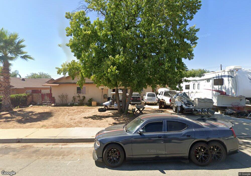
1117 Thompson Ave N Banning, CA 92220
Estimated Value: $389,610 - $484,000
4
Beds
2
Baths
1,354
Sq Ft
$319/Sq Ft
Est. Value
About This Home
This home is located at 1117 Thompson Ave N, Banning, CA 92220 and is currently estimated at $432,403, approximately $319 per square foot. 1117 Thompson Ave N is a home located in Riverside County with nearby schools including Sundance Elementary School, San Gorgonio Middle School, and Beaumont Senior High School.
Ownership History
Date
Name
Owned For
Owner Type
Purchase Details
Closed on
Jun 13, 2006
Sold by
Brenda K Hatfield Living Trust
Bought by
Hatfield Brenda K
Current Estimated Value
Purchase Details
Closed on
Aug 27, 2003
Sold by
Hatfield Richard B and Hatfield Brenda K
Bought by
Hatfield Richard Brent and Hatfield Brenda Kay
Purchase Details
Closed on
May 28, 2002
Sold by
Wahlen Brandon S
Bought by
Hatfield Richard B and Hatfield Brenda K
Create a Home Valuation Report for This Property
The Home Valuation Report is an in-depth analysis detailing your home's value as well as a comparison with similar homes in the area
Home Values in the Area
Average Home Value in this Area
Purchase History
| Date | Buyer | Sale Price | Title Company |
|---|---|---|---|
| Hatfield Brenda K | -- | None Available | |
| Hatfield Richard Brent | -- | -- | |
| Hatfield Richard B | -- | -- | |
| Wahlen Brandon S | -- | -- |
Source: Public Records
Tax History
| Year | Tax Paid | Tax Assessment Tax Assessment Total Assessment is a certain percentage of the fair market value that is determined by local assessors to be the total taxable value of land and additions on the property. | Land | Improvement |
|---|---|---|---|---|
| 2025 | $1,905 | $144,743 | $51,689 | $93,054 |
| 2023 | $1,905 | $139,125 | $49,683 | $89,442 |
| 2022 | $1,876 | $136,398 | $48,709 | $87,689 |
| 2021 | $1,841 | $133,724 | $47,754 | $85,970 |
| 2020 | $1,821 | $132,354 | $47,265 | $85,089 |
| 2019 | $1,793 | $129,760 | $46,339 | $83,421 |
| 2018 | $1,785 | $127,217 | $45,431 | $81,786 |
| 2017 | $1,757 | $124,724 | $44,541 | $80,183 |
| 2016 | $1,711 | $122,279 | $43,668 | $78,611 |
| 2015 | $1,682 | $120,444 | $43,013 | $77,431 |
| 2014 | $1,683 | $118,086 | $42,171 | $75,915 |
Source: Public Records
Map
Nearby Homes
- 1131 Rockcress Ln
- 959 Rockcress Ln
- 5118 Larkspur Rd
- 5130 Larkspur Rd
- 1316 Goldenbrush Way
- 1022 Mahogany St
- 968 Mahogany St
- 1158 Mahogany St
- 1352 Rockcress Ln
- 5281 Larkspur Rd
- 5270 Verbena Cir
- 724 Kingswell Ave
- 5370 Echo Dr
- 1351 Fiddleleaf Dr
- 5373 Pinedrop Cir
- 1263 Mahogany St
- 5275 Verbena Cir
- 5385 Larkspur Rd
- 1291 Mahogany St
- 5422 Echo Dr
- 1133 Thompson Ave N
- 1093 Thompson Ave N
- 1098 Brinton Ave
- 1116 Brinton Ave
- 1082 Brinton Ave
- 1151 Thompson Ave N
- 1073 Thompson Ave N
- 1116 Thompson Ave N
- 1132 Thompson Ave N
- 1132 Brinton Ave
- 1066 Brinton Ave
- 1098 Thompson Ave N
- 1150 Thompson Ave N
- 1082 Thompson Ave N
- 1167 Thompson Ave N
- 1150 Brinton Ave
- 1050 Brinton Ave
- 1166 Thompson Ave N
- 1073 Rockcress Ln
- 1066 Thompson Ave N
Your Personal Tour Guide
Ask me questions while you tour the home.