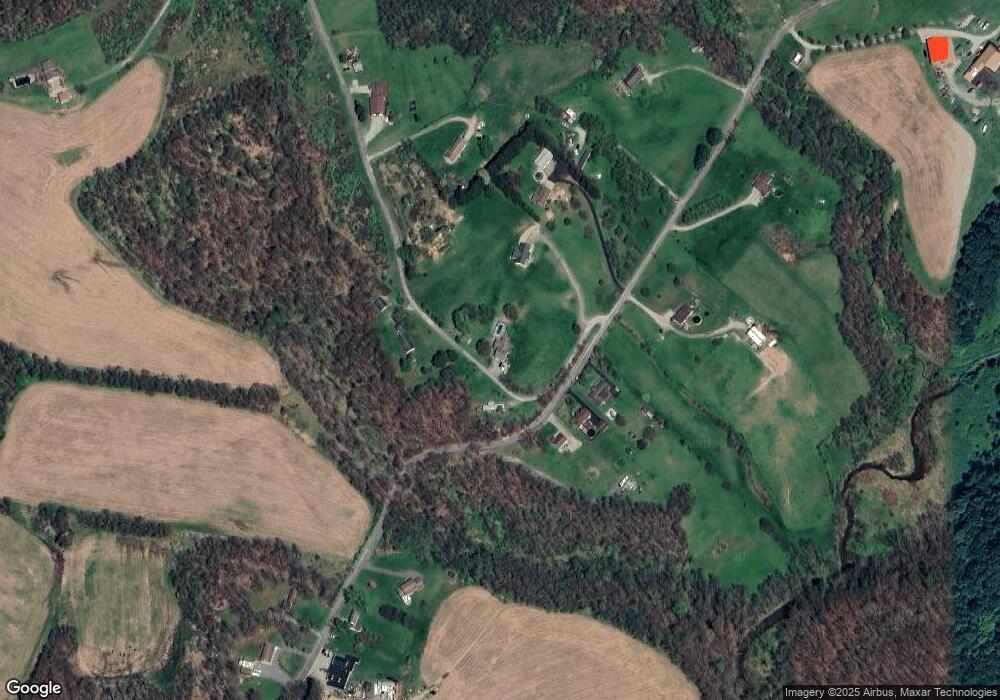
1118 Fitzgerald Ln Vandergrift, PA 15690
Parks Township NeighborhoodEstimated Value: $296,777 - $327,000
3
Beds
1
Bath
1,704
Sq Ft
$182/Sq Ft
Est. Value
About This Home
This home is located at 1118 Fitzgerald Ln, Vandergrift, PA 15690 and is currently estimated at $310,944, approximately $182 per square foot. 1118 Fitzgerald Ln is a home with nearby schools including Kiski Area High School.
Ownership History
Date
Name
Owned For
Owner Type
Purchase Details
Closed on
Sep 16, 2019
Sold by
Fitzgerald Lane I and Fitzgerald Rhonda M
Bought by
Fitzgerald Lane J and Fitzgerald Natalie M
Current Estimated Value
Home Financials for this Owner
Home Financials are based on the most recent Mortgage that was taken out on this home.
Original Mortgage
$180,000
Outstanding Balance
$157,988
Interest Rate
3.7%
Mortgage Type
VA
Estimated Equity
$152,956
Create a Home Valuation Report for This Property
The Home Valuation Report is an in-depth analysis detailing your home's value as well as a comparison with similar homes in the area
Home Values in the Area
Average Home Value in this Area
Purchase History
| Date | Buyer | Sale Price | Title Company |
|---|---|---|---|
| Fitzgerald Lane J | $180,000 | None Available |
Source: Public Records
Mortgage History
| Date | Status | Borrower | Loan Amount |
|---|---|---|---|
| Open | Fitzgerald Lane J | $180,000 |
Source: Public Records
Tax History Compared to Growth
Tax History
| Year | Tax Paid | Tax Assessment Tax Assessment Total Assessment is a certain percentage of the fair market value that is determined by local assessors to be the total taxable value of land and additions on the property. | Land | Improvement |
|---|---|---|---|---|
| 2025 | $4,976 | $66,830 | $37,720 | $29,110 |
| 2024 | $4,597 | $66,830 | $37,720 | $29,110 |
| 2023 | $3,848 | $66,830 | $37,720 | $29,110 |
| 2022 | $3,848 | $66,830 | $37,720 | $29,110 |
| 2021 | $3,843 | $66,830 | $37,720 | $29,110 |
| 2020 | $3,892 | $66,830 | $37,720 | $29,110 |
| 2019 | $3,824 | $52,985 | $12,305 | $40,680 |
| 2018 | $3,749 | $52,985 | $12,305 | $40,680 |
| 2017 | $3,663 | $65,570 | $37,090 | $28,480 |
| 2016 | $3,556 | $65,570 | $37,090 | $28,480 |
| 2015 | $3,418 | $65,570 | $37,090 | $28,480 |
| 2014 | $3,418 | $65,570 | $37,090 | $28,480 |
Source: Public Records
Map
Nearby Homes
- 214 and 214 1/2 Whittier St
- 1252 Jefferson St
- 1212 Gravel Bar Rd
- 1116 Grant St
- 133 Sherman Ave
- 137 Sherman Ave
- 112 Farragut Ave Unit 3
- 247 Sherman Ave
- 109 Washington Ave
- 121 Hamilton Ave
- 411 Center St
- 405 5th Ave
- 154 Jefferson Ave Unit 6
- 369 Chestnut St
- 365 Chestnut St
- 129 Franklin Ave
- 109 E Adams Ave
- 2632 River Rd
- 219 Quay St
- 311 Elm St
- 1410 Airport Rd
- 1421 Airport Rd
- 1417 Airport Rd
- 1423 Airport Rd
- 1406 Airport Rd
- 1390 Airport Rd
- 1453 Airport Rd
- 1461 Airport Rd
- 1378 Airport Rd
- 1466 Airport Rd
- 1178 Fitzgerald Ln
- 1471 Airport Rd
- 1181 Fitzgerald Ln
- 1276 Stitts Run Rd
- 1264 Stitts Run Rd
- 1491 Airport Rd
- 1348 Airport Rd
- 1242 Stitts Run Rd
- 1103 Kuruc Ln
- 1130 Coulter Ln
