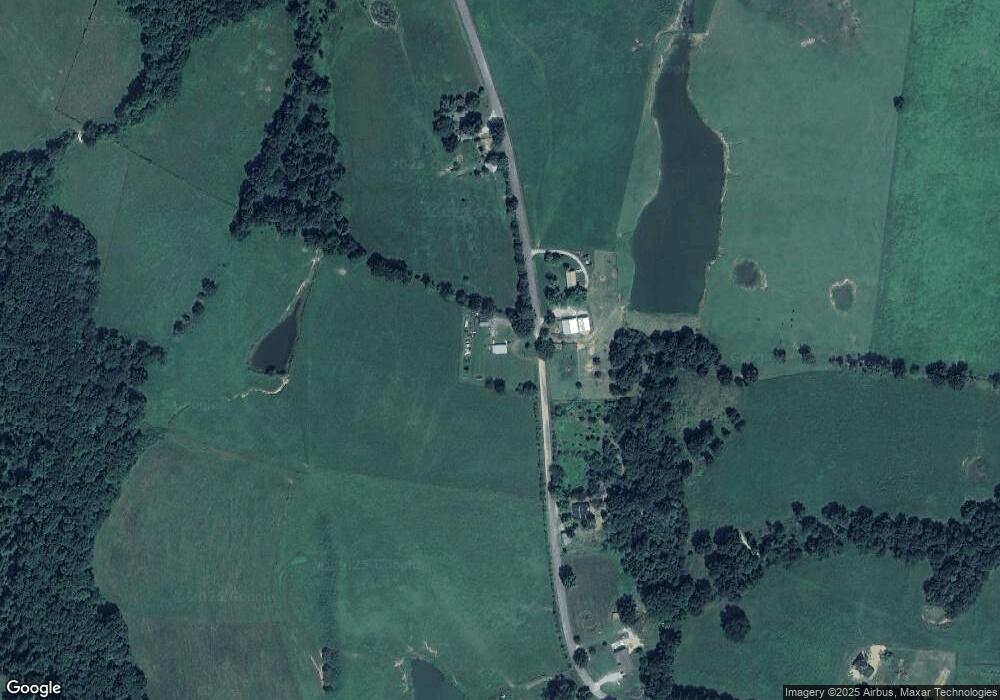
1119 Betterton Rd Walling, TN 38587
Estimated Value: $103,000 - $280,000
3
Beds
2
Baths
1,360
Sq Ft
$132/Sq Ft
Est. Value
About This Home
This home is located at 1119 Betterton Rd, Walling, TN 38587 and is currently estimated at $179,880, approximately $132 per square foot. 1119 Betterton Rd is a home located in White County with nearby schools including Central View Elementary School, White County Middle School, and White County High School.
Ownership History
Date
Name
Owned For
Owner Type
Purchase Details
Closed on
Oct 5, 2021
Sold by
Holliday Paula Betterton
Bought by
Holliday Paula Betterton and Holliday James S
Current Estimated Value
Purchase Details
Closed on
Dec 20, 2012
Sold by
Betterton Alexandra L
Bought by
Holliday Paula Betterton
Purchase Details
Closed on
Nov 30, 1998
Sold by
Betterton Elijah Q
Bought by
Betterton Robert J
Purchase Details
Closed on
Oct 8, 1976
Bought by
Betterton Elijah Q
Create a Home Valuation Report for This Property
The Home Valuation Report is an in-depth analysis detailing your home's value as well as a comparison with similar homes in the area
Home Values in the Area
Average Home Value in this Area
Purchase History
| Date | Buyer | Sale Price | Title Company |
|---|---|---|---|
| Holliday Paula Betterton | -- | None Available | |
| Holliday Paula Betterton | -- | -- | |
| Betterton Robert J | $20,000 | -- | |
| Betterton Elijah Q | -- | -- |
Source: Public Records
Tax History Compared to Growth
Tax History
| Year | Tax Paid | Tax Assessment Tax Assessment Total Assessment is a certain percentage of the fair market value that is determined by local assessors to be the total taxable value of land and additions on the property. | Land | Improvement |
|---|---|---|---|---|
| 2024 | $288 | $14,025 | $2,950 | $11,075 |
| 2023 | $0 | $14,025 | $2,950 | $11,075 |
| 2022 | $288 | $14,025 | $2,950 | $11,075 |
| 2021 | $288 | $14,025 | $2,950 | $11,075 |
| 2020 | $288 | $14,025 | $2,950 | $11,075 |
| 2019 | $334 | $16,275 | $2,950 | $13,325 |
| 2018 | $334 | $16,275 | $2,950 | $13,325 |
| 2017 | $334 | $16,275 | $2,950 | $13,325 |
| 2016 | $334 | $16,275 | $2,950 | $13,325 |
| 2015 | $301 | $16,275 | $2,950 | $13,325 |
| 2014 | -- | $16,275 | $2,950 | $13,325 |
| 2013 | -- | $16,375 | $2,975 | $13,400 |
Source: Public Records
Map
Nearby Homes
- 1217 Three Island Rd
- 14181 Old Kentucky Rd
- 14267 Old Kentucky Rd
- 14305 Old Kentucky Rd
- 14165 Old Kentucky Rd
- 14133 Old Kentucky Rd
- 14181 Old Kentucky Rd
- 14165 Old Kentucky Rd
- 0 Gum Spring Rd
- 3767 Pollard Rd
- 13593 Old Kentucky Rd
- 13723 Old Kentucky Rd
- 13400 Old Kentucky Rd
- 488 Point Ln
- 60 3 Island Rd
- 60ac 3 Island Rd
- 00 Roberts Cemetery Rd
- 1295 Darkey Springs Rd
- 1152 Betterton Rd
- 1018 Betterton Rd
- LOT 1 Betterton Rd
- . Betterton Rd
- 0 Betterton Rd
- 1261 Betterton Rd
- 1787 Betterton Rd
- 1811 Betterton Rd
- 950 Betterton Rd
- Lot #1 Betterton Rd
- 1363 Betterton Rd
- 758 Betterton Rd
- 1456 Betterton Rd
- 1530 Betterton Rd
- 1568 Betterton Rd
- 1667 Betterton Rd
- 203 Swindell Mill Rd
- 409 Swindell Mill Rd
- 1733 Betterton Rd
- 1728 Betterton Rd
