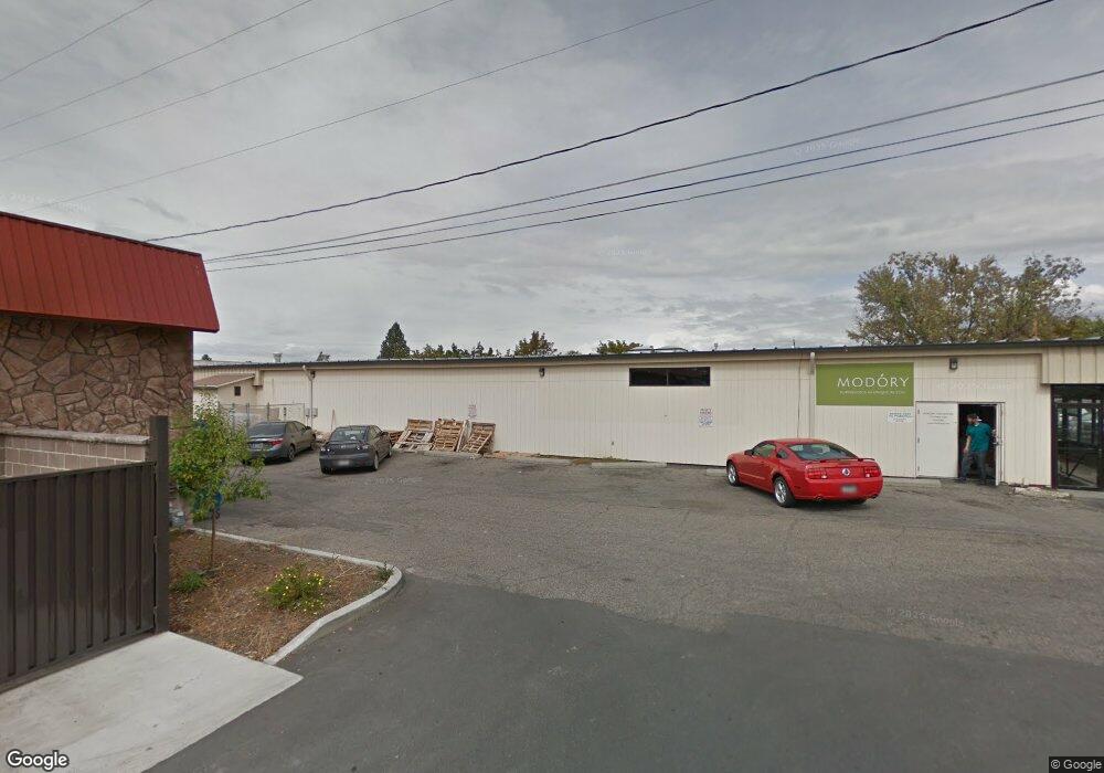
1119 W Kent Ave Missoula, MT 59801
Rose Park Neighborhood
--
Bed
--
Bath
760
Sq Ft
0.41
Acres
About This Home
This home is located at 1119 W Kent Ave, Missoula, MT 59801. 1119 W Kent Ave is a home located in Missoula County with nearby schools including Paxson School, Washington Middle School, and Sentinel High School.
Ownership History
Date
Name
Owned For
Owner Type
Purchase Details
Closed on
May 24, 2021
Sold by
Kent Property Llc
Bought by
Sun Ray Holdings Llc
Home Financials for this Owner
Home Financials are based on the most recent Mortgage that was taken out on this home.
Original Mortgage
$794,916
Outstanding Balance
$718,128
Interest Rate
2.9%
Mortgage Type
Commercial
Purchase Details
Closed on
Mar 5, 2008
Sold by
Flink John W
Bought by
Kent Property Llc
Create a Home Valuation Report for This Property
The Home Valuation Report is an in-depth analysis detailing your home's value as well as a comparison with similar homes in the area
Home Values in the Area
Average Home Value in this Area
Purchase History
| Date | Buyer | Sale Price | Title Company |
|---|---|---|---|
| Sun Ray Holdings Llc | -- | Title Services | |
| Kent Property Llc | -- | None Available |
Source: Public Records
Mortgage History
| Date | Status | Borrower | Loan Amount |
|---|---|---|---|
| Open | Sun Ray Holdings Llc | $794,916 |
Source: Public Records
Tax History Compared to Growth
Tax History
| Year | Tax Paid | Tax Assessment Tax Assessment Total Assessment is a certain percentage of the fair market value that is determined by local assessors to be the total taxable value of land and additions on the property. | Land | Improvement |
|---|---|---|---|---|
| 2025 | $15,774 | $975,700 | $798,600 | $177,100 |
| 2024 | $18,987 | $888,700 | $585,600 | $303,100 |
| 2023 | $14,947 | $1,114,500 | $585,600 | $528,900 |
| 2022 | $15,725 | $831,800 | $0 | $0 |
| 2021 | $14,146 | $831,800 | $0 | $0 |
| 2020 | $23,137 | $1,265,100 | $0 | $0 |
| 2019 | $23,060 | $1,265,100 | $0 | $0 |
| 2018 | $22,073 | $1,177,440 | $0 | $0 |
| 2017 | $21,707 | $1,177,440 | $0 | $0 |
| 2016 | $19,598 | $1,110,770 | $0 | $0 |
| 2015 | $18,127 | $1,110,770 | $0 | $0 |
| 2014 | $18,691 | $903,439 | $0 | $0 |
Source: Public Records
Map
Nearby Homes
- 1220 North Ave W
- 1665 W Sussex Ave
- 1105 Stephens Ave Unit 2
- 1755 North Ave W
- 629 North Ave W
- 470 Strand Ave
- TBD Tbd
- 1638 S 14th St W
- 210 W Harlem St
- 455 Mount Ave
- 115 W Addison St
- 901 Cleveland St
- NHN S 13th St W Unit Lot 9A
- 1733 S 11th St W
- 915 Ronan St Unit 8
- 2028 B Burlington Ave
- 2112 & 2112 1/2 W Central Ave
- 265 S 4th St E Unit 208
- 235 S 4th St E Unit 203
- 265 S 4th St E Unit 111
- 1119 W Kent Ave
- 1121 W Kent Ave
- 1108 W Central Ave
- 1124 W Central Ave
- 1202 W Kent Ave
- 2141 Brooks St
- 2101 Brooks St
- 1200 W Kent Ave
- 1200 W Kent Ave Unit 103
- 1200 W Kent Ave Unit 102
- 1200 W Kent Ave Unit 101
- 2200 Brooks St Unit Suite C
- 2200 Brooks St
- 2200 Brooks St Unit Suite A
- 1201 North Ave W
- 1207 North Ave W
- 1217 North Ave W
- 1210 W Kent Ave
- 1210 W Kent Ave Unit 203
- 1210 W Kent Ave Unit 101-102