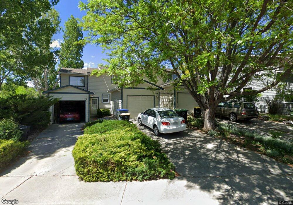
112 12th Ave Longmont, CO 80501
Clark Centennial NeighborhoodEstimated Value: $377,192 - $468,000
2
Beds
2
Baths
1,256
Sq Ft
$333/Sq Ft
Est. Value
About This Home
This home is located at 112 12th Ave, Longmont, CO 80501 and is currently estimated at $418,798, approximately $333 per square foot. 112 12th Ave is a home located in Boulder County with nearby schools including Columbine Elementary School, Trail Ridge Middle School, and Skyline High School.
Ownership History
Date
Name
Owned For
Owner Type
Purchase Details
Closed on
Jun 3, 2021
Sold by
Snodgrass Janna M
Bought by
112 12Th Avenue Llc
Current Estimated Value
Purchase Details
Closed on
Mar 24, 2004
Sold by
Trudeau Janna M
Bought by
Snodgrass Janna M
Purchase Details
Closed on
May 10, 2001
Sold by
Sanchez Deanna M
Bought by
Trudeau Janna M
Home Financials for this Owner
Home Financials are based on the most recent Mortgage that was taken out on this home.
Original Mortgage
$153,000
Interest Rate
6.83%
Purchase Details
Closed on
May 16, 1995
Sold by
Sigg Harold M and Sigg Doug
Bought by
Sanchez Deanna M
Home Financials for this Owner
Home Financials are based on the most recent Mortgage that was taken out on this home.
Original Mortgage
$88,200
Interest Rate
8.36%
Purchase Details
Closed on
Feb 8, 1982
Bought by
Snodgrass Janna M
Create a Home Valuation Report for This Property
The Home Valuation Report is an in-depth analysis detailing your home's value as well as a comparison with similar homes in the area
Home Values in the Area
Average Home Value in this Area
Purchase History
| Date | Buyer | Sale Price | Title Company |
|---|---|---|---|
| 112 12Th Avenue Llc | -- | None Available | |
| Snodgrass Janna M | -- | -- | |
| Trudeau Janna M | $170,600 | -- | |
| Sanchez Deanna M | $110,250 | Commonwealth Land Title | |
| Snodgrass Janna M | $33,000 | -- |
Source: Public Records
Mortgage History
| Date | Status | Borrower | Loan Amount |
|---|---|---|---|
| Previous Owner | Trudeau Janna M | $153,000 | |
| Previous Owner | Sanchez Deanna M | $88,200 |
Source: Public Records
Tax History Compared to Growth
Tax History
| Year | Tax Paid | Tax Assessment Tax Assessment Total Assessment is a certain percentage of the fair market value that is determined by local assessors to be the total taxable value of land and additions on the property. | Land | Improvement |
|---|---|---|---|---|
| 2025 | $2,100 | $24,294 | $4,281 | $20,013 |
| 2024 | $2,100 | $24,294 | $4,281 | $20,013 |
| 2023 | $2,072 | $21,956 | $4,690 | $20,951 |
| 2022 | $2,083 | $21,052 | $3,392 | $17,660 |
| 2021 | $2,110 | $21,657 | $3,489 | $18,168 |
| 2020 | $1,885 | $19,405 | $3,432 | $15,973 |
| 2019 | $1,855 | $19,405 | $3,432 | $15,973 |
| 2018 | $1,493 | $15,718 | $3,384 | $12,334 |
| 2017 | $1,473 | $17,376 | $3,741 | $13,635 |
| 2016 | $1,277 | $13,356 | $3,104 | $10,252 |
| 2015 | $1,217 | $10,833 | $3,502 | $7,331 |
| 2014 | $1,012 | $10,833 | $3,502 | $7,331 |
Source: Public Records
Map
Nearby Homes
- 1211 Meadow St
- 1226 Atwood St
- 1147 Emery St
- 10 Juneau Place
- 1514 Collyer St
- 845 Martin St
- 147 Dawson Place
- 117 Valentine Ln
- 342 9th Ave
- 1430 Lashley St
- 936 Kimbark St Unit 4
- 836 Emery St
- 823 Collyer St
- 830 Emery St
- 727 Baker St
- 50 Forsyth Dr
- 820 Kimbark St Unit D
- 1310 Hilltop Dr
- 900 Mountain View Ave Unit 217
- 900 Mountain View Ave Unit 122