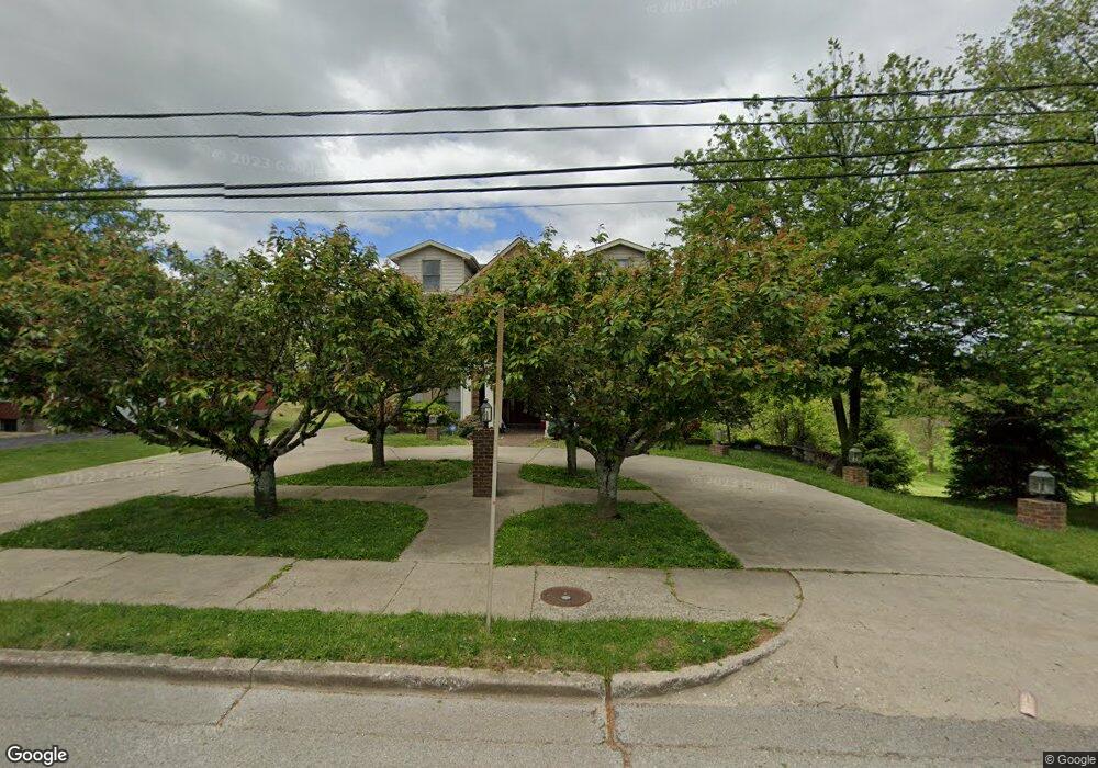
112 Apperson Heights Mount Sterling, KY 40353
Estimated Value: $210,000 - $294,840
4
Beds
2
Baths
720
Sq Ft
$323/Sq Ft
Est. Value
About This Home
This home is located at 112 Apperson Heights, Mount Sterling, KY 40353 and is currently estimated at $232,460, approximately $322 per square foot. 112 Apperson Heights is a home located in Montgomery County with nearby schools including Montgomery County High School and Christian Traditional School.
Ownership History
Date
Name
Owned For
Owner Type
Purchase Details
Closed on
Apr 1, 1990
Bought by
Shrout Robert D and Shrout Nell G
Current Estimated Value
Create a Home Valuation Report for This Property
The Home Valuation Report is an in-depth analysis detailing your home's value as well as a comparison with similar homes in the area
Home Values in the Area
Average Home Value in this Area
Purchase History
| Date | Buyer | Sale Price | Title Company |
|---|---|---|---|
| Shrout Robert D | $7,000 | -- |
Source: Public Records
Tax History Compared to Growth
Tax History
| Year | Tax Paid | Tax Assessment Tax Assessment Total Assessment is a certain percentage of the fair market value that is determined by local assessors to be the total taxable value of land and additions on the property. | Land | Improvement |
|---|---|---|---|---|
| 2024 | $2,122 | $260,000 | $0 | $0 |
| 2023 | $2,094 | $260,000 | $0 | $0 |
| 2022 | $2,153 | $260,000 | $0 | $0 |
| 2021 | $2,169 | $260,000 | $0 | $0 |
| 2020 | $2,185 | $260,000 | $0 | $0 |
| 2019 | $2,194 | $260,000 | $0 | $0 |
| 2018 | -- | $260,000 | $20,000 | $240,000 |
| 2017 | -- | $260,000 | $20,000 | $240,000 |
| 2016 | -- | $260,000 | $20,000 | $240,000 |
| 2015 | -- | $260,000 | $20,000 | $240,000 |
| 2014 | -- | $260,000 | $20,000 | $240,000 |
| 2012 | -- | $260,000 | $20,000 | $240,000 |
Source: Public Records
Map
Nearby Homes
- 114 Apperson Heights
- 116 Apperson Heights
- 118 Apperson Heights
- 109 Apperson Heights
- 111 Apperson Heights
- 120 Apperson Heights
- 115 Apperson Heights
- 100 Apperson Heights
- 110 Apperson Heights
- 106 Apperson Heights
- 117 Apperson Heights
- 122 Apperson Heights
- 119 Apperson Heights
- 501 Apperson Dr
- 501 Apperson Dr
- 501 Apperson Dr
- 121 Apperson Heights
- 503 Apperson Dr
- 507 Apperson Dr
- 125 Apperson Heights