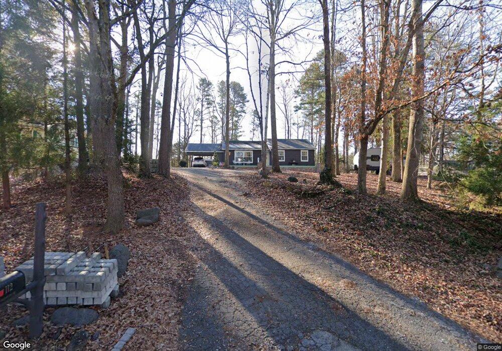
112 Brookside Dr Fort Mill, SC 29715
Springfield NeighborhoodEstimated Value: $168,000 - $419,000
--
Bed
1
Bath
1,397
Sq Ft
$206/Sq Ft
Est. Value
About This Home
This home is located at 112 Brookside Dr, Fort Mill, SC 29715 and is currently estimated at $287,691, approximately $205 per square foot. 112 Brookside Dr is a home located in York County with nearby schools including Fort Mill Elementary School, Fort Mill Middle School, and Nation Ford High School.
Ownership History
Date
Name
Owned For
Owner Type
Purchase Details
Closed on
Sep 26, 2018
Sold by
Mize Julie K
Bought by
Mize Julie K and Mize Jerry
Current Estimated Value
Purchase Details
Closed on
Jan 14, 2016
Sold by
Mize Jerry
Bought by
Mize Julie K
Purchase Details
Closed on
Sep 19, 2013
Sold by
Ferguson Samuel and Ferguson Audrey
Bought by
Mize Jerry
Home Financials for this Owner
Home Financials are based on the most recent Mortgage that was taken out on this home.
Original Mortgage
$22,000
Interest Rate
4.53%
Mortgage Type
Unknown
Purchase Details
Closed on
Nov 13, 2009
Sold by
Estate Of Susan Jones Mize
Bought by
Mize Jerry and Ferguson Samuel
Create a Home Valuation Report for This Property
The Home Valuation Report is an in-depth analysis detailing your home's value as well as a comparison with similar homes in the area
Home Values in the Area
Average Home Value in this Area
Purchase History
| Date | Buyer | Sale Price | Title Company |
|---|---|---|---|
| Mize Julie K | -- | None Available | |
| Mize Julie K | -- | -- | |
| Mize Jerry | $40,000 | -- | |
| Mize Jerry | -- | -- |
Source: Public Records
Mortgage History
| Date | Status | Borrower | Loan Amount |
|---|---|---|---|
| Closed | Mize Jerry | $22,000 | |
| Closed | Mize Jerry | $22,000 |
Source: Public Records
Tax History Compared to Growth
Tax History
| Year | Tax Paid | Tax Assessment Tax Assessment Total Assessment is a certain percentage of the fair market value that is determined by local assessors to be the total taxable value of land and additions on the property. | Land | Improvement |
|---|---|---|---|---|
| 2024 | $520 | $4,945 | $1,951 | $2,994 |
| 2023 | $504 | $4,945 | $1,951 | $2,994 |
| 2022 | $499 | $4,945 | $1,951 | $2,994 |
| 2021 | -- | $4,945 | $1,951 | $2,994 |
| 2020 | $536 | $4,945 | $0 | $0 |
| 2019 | $899 | $4,300 | $0 | $0 |
| 2018 | $949 | $4,300 | $0 | $0 |
| 2017 | $896 | $4,300 | $0 | $0 |
| 2016 | $885 | $6,450 | $0 | $0 |
| 2014 | $630 | $6,450 | $2,400 | $4,050 |
| 2013 | $630 | $4,420 | $1,600 | $2,820 |
Source: Public Records
Map
Nearby Homes
- 118 Brookside Dr
- 121 Pelham Ln
- 001 Roanoke Dr
- 000 Roanoke Dr
- 002 Roanoke Dr
- 105 Redcoat Dr
- 4649 Cava Ct
- 323 Swamp Fox Dr
- 1364 Regions Blvd
- 9848 Verdun Ct
- 4049 Wild Turkey Ln
- 1224 Regions Blvd
- 521 Vine St
- 9792 Verdun Ct
- 1185 Regions Blvd
- 3942 Kestrel Ln
- 3954 Kestrel Ln
- 1565 Kennel Rd
- 441 Vine St
- 3175 Montreaux Valley Dr
- 110 Brookside Dr
- 116 Brookside Dr
- 108 Brookside Dr
- 219 Pelham Ln
- 120 Brookside Dr
- 111 Brookside Dr
- 201 Swamp Fox Dr
- 106 Brookside Dr
- 217 Pelham Ln
- 109 Brookside Dr
- 203 Swamp Fox Dr
- 112 Pinetree Dr
- 104 Brookside Dr
- 104 Brookside Dr Unit 3
- 215 Pelham Ln
- 107 Brookside Dr
- 200 Swamp Fox Dr
- 110 Pinetree Dr
- 205 Swamp Fox Dr
- 200 Brookside Dr