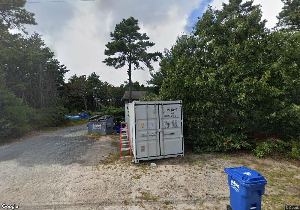
112 Charge Pond Rd Wareham, MA 02571
Estimated Value: $478,000 - $498,422
3
Beds
1
Bath
1,028
Sq Ft
$476/Sq Ft
Est. Value
About This Home
This home is located at 112 Charge Pond Rd, Wareham, MA 02571 and is currently estimated at $489,606, approximately $476 per square foot. 112 Charge Pond Rd is a home located in Plymouth County.
Ownership History
Date
Name
Owned For
Owner Type
Purchase Details
Closed on
Aug 23, 2018
Sold by
Oconnor Janice L
Bought by
Charge Pond Llc
Current Estimated Value
Purchase Details
Closed on
Aug 2, 1988
Sold by
Barden Rt
Bought by
R F C Rlty Corp
Home Financials for this Owner
Home Financials are based on the most recent Mortgage that was taken out on this home.
Original Mortgage
$0
Interest Rate
10.49%
Mortgage Type
Purchase Money Mortgage
Create a Home Valuation Report for This Property
The Home Valuation Report is an in-depth analysis detailing your home's value as well as a comparison with similar homes in the area
Purchase History
| Date | Buyer | Sale Price | Title Company |
|---|---|---|---|
| Charge Pond Llc | -- | -- | |
| Charge Pond Llc | -- | -- | |
| R F C Rlty Corp | $20,000 | -- |
Source: Public Records
Mortgage History
| Date | Status | Borrower | Loan Amount |
|---|---|---|---|
| Previous Owner | R F C Rlty Corp | $10,000,000 | |
| Previous Owner | R F C Rlty Corp | $75,000 | |
| Previous Owner | R F C Rlty Corp | $0 |
Source: Public Records
Tax History Compared to Growth
Tax History
| Year | Tax Paid | Tax Assessment Tax Assessment Total Assessment is a certain percentage of the fair market value that is determined by local assessors to be the total taxable value of land and additions on the property. | Land | Improvement |
|---|---|---|---|---|
| 2025 | $4,381 | $420,400 | $128,000 | $292,400 |
| 2024 | $4,436 | $395,000 | $102,700 | $292,300 |
| 2023 | $4,074 | $353,700 | $93,500 | $260,200 |
| 2022 | $4,074 | $309,100 | $93,500 | $215,600 |
| 2021 | $3,952 | $293,800 | $93,500 | $200,300 |
| 2020 | $3,896 | $293,800 | $93,500 | $200,300 |
| 2019 | $3,507 | $263,900 | $98,800 | $165,100 |
| 2018 | $3,488 | $255,900 | $98,800 | $157,100 |
| 2017 | $3,184 | $236,700 | $98,800 | $137,900 |
| 2016 | $3,136 | $231,800 | $103,600 | $128,200 |
| 2015 | $2,737 | $209,400 | $103,600 | $105,800 |
| 2014 | $2,891 | $225,000 | $98,600 | $126,400 |
Source: Public Records
Map
Nearby Homes
- 0 Charge Pond Rd
- 35 Willard St
- 2711 Cranberry Hwy
- 2697 Cranberry Hwy Unit 21
- 2697 Cranberry Hwy Unit 28
- 2645 Cranberry Hwy Unit A
- 6 Gilbert Way
- 156 Sandwich Rd
- 13 Cherry St
- 110 Mayflower Ridge Dr
- 12 Linwood Ave
- 6 Sloop Ln
- 2 Oakdale St
- 81 Maple Springs Rd
- 2838 Cranberry Hwy
- 437 Main St
- 6 Agawam Dr
- 10 Pine Lake Dr
- 9 Old Glen Charlie Rd
- 3 Michael Dr
- 108 Charge Pond Rd
- 104 Charge Pond Rd
- 118 Charge Pond Rd
- 122 Charge Pond Rd
- 124 Charge Pond Rd
- 126 Charge Pond Rd
- 128 Charge Pond Rd
- 130 Charge Pond Rd
- 132 Charge Pond Rd
- 0 Call Agent Unit 71193546
- 2424 Wareham Crossing
- 33 Onset Ave
- 0 Call Agent Unit 71193543
- Lot 1 Winterberry Ln
- 0 The Preserve Unit 71100680
- 0 Ararad Dr Unit 71104440
- 6 lot Mac Phillip Way
- 4 lot Mac Phillip Way
- 000 Lot 000 County Rd
- 41 Onset Ave
