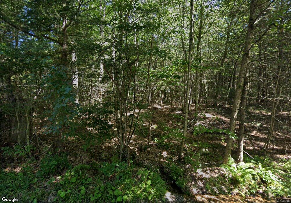
112 Hollow Hill Rd Winsted, CT 06098
Estimated Value: $492,000 - $634,000
3
Beds
3
Baths
2,299
Sq Ft
$245/Sq Ft
Est. Value
About This Home
This home is located at 112 Hollow Hill Rd, Winsted, CT 06098 and is currently estimated at $563,405, approximately $245 per square foot. 112 Hollow Hill Rd is a home located in Litchfield County with nearby schools including Pearson School.
Ownership History
Date
Name
Owned For
Owner Type
Purchase Details
Closed on
Jun 8, 1999
Sold by
Shalling Emil J and Shalling Mary S
Bought by
Brunner Rolf and Brunner Wendy J
Current Estimated Value
Home Financials for this Owner
Home Financials are based on the most recent Mortgage that was taken out on this home.
Original Mortgage
$39,000
Interest Rate
6.63%
Create a Home Valuation Report for This Property
The Home Valuation Report is an in-depth analysis detailing your home's value as well as a comparison with similar homes in the area
Home Values in the Area
Average Home Value in this Area
Purchase History
| Date | Buyer | Sale Price | Title Company |
|---|---|---|---|
| Brunner Rolf | $52,500 | -- | |
| Brunner Rolf | $52,500 | -- |
Source: Public Records
Mortgage History
| Date | Status | Borrower | Loan Amount |
|---|---|---|---|
| Open | Brunner Rolf | $159,400 | |
| Closed | Brunner Rolf | $175,000 | |
| Closed | Brunner Rolf | $39,000 |
Source: Public Records
Tax History Compared to Growth
Tax History
| Year | Tax Paid | Tax Assessment Tax Assessment Total Assessment is a certain percentage of the fair market value that is determined by local assessors to be the total taxable value of land and additions on the property. | Land | Improvement |
|---|---|---|---|---|
| 2025 | $8,262 | $283,220 | $66,920 | $216,300 |
| 2024 | $7,715 | $283,220 | $66,920 | $216,300 |
| 2023 | $7,474 | $283,220 | $66,920 | $216,300 |
| 2022 | $7,224 | $215,390 | $52,710 | $162,680 |
| 2021 | $7,224 | $215,390 | $52,710 | $162,680 |
| 2020 | $7,224 | $215,390 | $52,710 | $162,680 |
| 2019 | $7,224 | $215,390 | $52,710 | $162,680 |
| 2018 | $7,224 | $215,390 | $52,710 | $162,680 |
| 2017 | $7,057 | $210,420 | $52,710 | $157,710 |
| 2016 | $6,877 | $205,030 | $52,710 | $152,320 |
| 2015 | $7,380 | $225,680 | $52,710 | $172,970 |
| 2014 | $7,201 | $225,680 | $52,710 | $172,970 |
Source: Public Records
Map
Nearby Homes
- 117 South Rd
- 469 Platt Hill Rd
- 111 South Rd
- 441 Platt Hill Rd
- 00 Chapel Rd
- 1167 Saw Mill Hill Rd
- 126 Forest Ave
- 115 Laurel Way
- 274 Cliffside Dr Unit 274
- 90 Woodside Cir
- 103 Woodside Cir
- 145 Old Farms Rd Unit 145
- 479 Evergreen Rd
- 23 Evergreen Rd
- 418 Trailsend Dr
- 174 Ledge Dr
- 239 Ledge Dr
- 213 Ledge Dr Unit 213
- 133 Old Farms Rd
- 225 Ledge Dr
- 120 Hollow Rd
- 111 Hollow Hill Rd
- 113 Hollow Hill Rd
- 114 Hollow Hill Rd
- 127 South Rd
- 129 South Rd
- 472 Platt Hill Rd
- 115 Hollow Hill Rd
- 458 Platt Hill Rd
- 456 Platt Hill Rd
- 474 Platt Hill Rd
- 460 Platt Hill Rd
- 100 Hollow Hill Rd
- 100 Hollow Hill Rd
- 123 South Rd
- 335 Taylor Brook Rd Unit 1
- 452 Platt Hill Rd
- 18 Taylor Brook Rd
- 462 Platt Hill Rd
- 444 Platt Hill Rd
