112 Maple St Conway, MA 01341
Estimated Value: $508,000 - $705,241
3
Beds
3
Baths
2,652
Sq Ft
$237/Sq Ft
Est. Value
About This Home
This home is located at 112 Maple St, Conway, MA 01341 and is currently estimated at $627,810, approximately $236 per square foot. 112 Maple St is a home located in Franklin County with nearby schools including Frontier Regional School.
Ownership History
Date
Name
Owned For
Owner Type
Purchase Details
Closed on
Feb 5, 2001
Sold by
Dacey Richard J and Dacey Phylis H
Bought by
Flanders Jon P and Flanders Heidi S B
Current Estimated Value
Home Financials for this Owner
Home Financials are based on the most recent Mortgage that was taken out on this home.
Original Mortgage
$21,000
Interest Rate
7.14%
Mortgage Type
Purchase Money Mortgage
Create a Home Valuation Report for This Property
The Home Valuation Report is an in-depth analysis detailing your home's value as well as a comparison with similar homes in the area
Home Values in the Area
Average Home Value in this Area
Purchase History
| Date | Buyer | Sale Price | Title Company |
|---|---|---|---|
| Flanders Jon P | $35,000 | -- |
Source: Public Records
Mortgage History
| Date | Status | Borrower | Loan Amount |
|---|---|---|---|
| Open | Flanders Jon P | $247,800 | |
| Closed | Flanders Jon P | $77,800 | |
| Closed | Flanders Jon P | $279,000 | |
| Closed | Flanders Jon P | $21,000 |
Source: Public Records
Tax History
| Year | Tax Paid | Tax Assessment Tax Assessment Total Assessment is a certain percentage of the fair market value that is determined by local assessors to be the total taxable value of land and additions on the property. | Land | Improvement |
|---|---|---|---|---|
| 2025 | $8,626 | $597,400 | $139,100 | $458,300 |
| 2024 | $7,657 | $466,900 | $126,300 | $340,600 |
| 2023 | $8,007 | $466,900 | $126,300 | $340,600 |
| 2022 | $7,792 | $434,100 | $118,800 | $315,300 |
| 2021 | $7,687 | $410,400 | $114,000 | $296,400 |
| 2020 | $8,140 | $433,900 | $113,300 | $320,600 |
| 2019 | $8,092 | $433,900 | $113,300 | $320,600 |
| 2018 | $7,753 | $419,100 | $113,300 | $305,800 |
| 2017 | $7,439 | $419,100 | $113,300 | $305,800 |
| 2016 | $7,132 | $427,600 | $98,800 | $328,800 |
| 2015 | $6,914 | $427,600 | $98,800 | $328,800 |
Source: Public Records
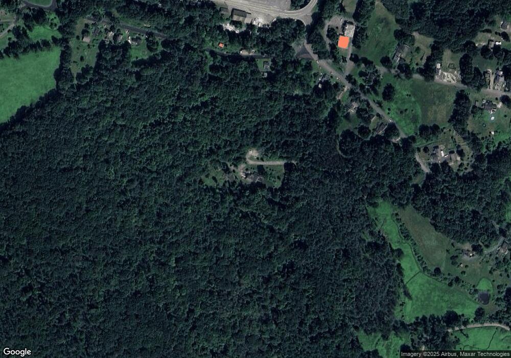
Map
Nearby Homes
- 71 Mathews Rd
- 15 Stillwater Rd
- 240 Beldingville Rd
- 0 N Bear River Rd Unit 73485981
- 2930 Shelburne Falls Rd
- 41 Upper Rd
- 527 Main St
- 90 Whately Rd
- 208 Greenfield Rd
- 345 Greenfield Rd
- 24 Elm St
- 0 Greenfield Rd Unit 73472322
- 40 Suburban Dr
- 26 S Main St
- 0 North St Unit 73407299
- 0 Sears Rd Unit 73373850
- 15 Crestview Dr
- 86 Ashfield Rd
- 18 Stage Rd
- 220 Hawley Rd
Your Personal Tour Guide
Ask me questions while you tour the home.