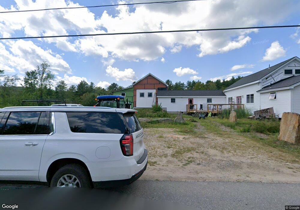
112 N Prescott Rd New Salem, MA 01355
New Salem NeighborhoodEstimated Value: $389,000 - $472,000
3
Beds
1
Bath
1,496
Sq Ft
$292/Sq Ft
Est. Value
About This Home
This home is located at 112 N Prescott Rd, New Salem, MA 01355 and is currently estimated at $437,242, approximately $292 per square foot. 112 N Prescott Rd is a home located in Franklin County with nearby schools including Swift River School and Ralph C Mahar Regional School.
Ownership History
Date
Name
Owned For
Owner Type
Purchase Details
Closed on
Nov 30, 2018
Sold by
Briand Karyn
Bought by
Briand Karyn and Briand David
Current Estimated Value
Purchase Details
Closed on
Sep 4, 2007
Sold by
Lyman Debra J and Lyman Walter R
Bought by
Lyman Debra J and Lyman Nikki L
Purchase Details
Closed on
Oct 20, 2004
Sold by
Lyman Debra J
Bought by
Lyman Walter R and Lyman Debra J
Create a Home Valuation Report for This Property
The Home Valuation Report is an in-depth analysis detailing your home's value as well as a comparison with similar homes in the area
Home Values in the Area
Average Home Value in this Area
Purchase History
| Date | Buyer | Sale Price | Title Company |
|---|---|---|---|
| Briand Karyn | -- | -- | |
| Briand Karyn | $111,000 | -- | |
| Lyman Debra J | -- | -- | |
| Lyman Walter R | -- | -- |
Source: Public Records
Mortgage History
| Date | Status | Borrower | Loan Amount |
|---|---|---|---|
| Previous Owner | Lyman Walter R | $25,000 |
Source: Public Records
Tax History Compared to Growth
Tax History
| Year | Tax Paid | Tax Assessment Tax Assessment Total Assessment is a certain percentage of the fair market value that is determined by local assessors to be the total taxable value of land and additions on the property. | Land | Improvement |
|---|---|---|---|---|
| 2025 | $5,004 | $368,513 | $45,113 | $323,400 |
| 2024 | $4,603 | $320,350 | $44,950 | $275,400 |
| 2023 | $3,914 | $255,002 | $51,802 | $203,200 |
| 2022 | $3,994 | $211,091 | $51,691 | $159,400 |
| 2021 | $3,839 | $195,550 | $47,050 | $148,500 |
| 2020 | $3,528 | $195,550 | $47,050 | $148,500 |
| 2019 | $3,249 | $184,900 | $58,500 | $126,400 |
| 2018 | $3,231 | $178,200 | $57,000 | $121,200 |
| 2017 | $3,053 | $170,300 | $54,400 | $115,900 |
| 2016 | $2,934 | $170,300 | $54,400 | $115,900 |
| 2015 | $2,971 | $180,300 | $61,700 | $118,600 |
Source: Public Records
Map
Nearby Homes
- 63 Cooleyville Rd
- 0 Cooleyville Rd
- 72 N Main St
- 23 Pelham Hill Rd
- 0 Wendell Rd
- Lot 31 Wendell Rd
- Lot 55 Wendell Rd
- 207 Leverett Rd
- 359 Montague Rd
- 85 Lake Dr
- 84 Lake Dr
- 36 Merrill Dr
- 0 Shore Dr
- 133 Lakeview Rd
- 4 West St
- Back Lot 0 Petersham Rd
- 2 Fay Rd
- 0 Dudleyville Rd
- 28 Morse Village Rd
- 30 Woodward Rd
- Lot C N Prescott Rd
- Lot B N Prescott Rd
- Lot A N Prescott Rd
- 124 N Prescott Rd
- 9 Earl Whitaker Rd
- 11 Earl Whitaker Rd
- 92 N Prescott Rd
- LOT 46 Rt 122
- LOT 3 Branch Bridge Rd
- LOT 39 Wendell Rd
- 25 Osborne Rd
- 79 N Prescott Rd
- 32 Osborne Rd
- 77 N Prescott Rd
- 38 Osborne Rd
- 66 N Prescott Rd
- 118 Vaughn Rd
- 63 N Prescott Rd
- 0 Osborne Rd
- 55 N Prescott Rd