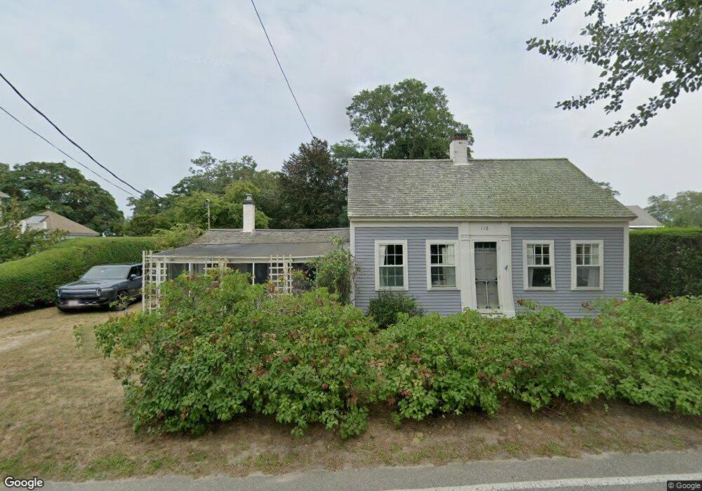
112 Rock Harbor Rd Orleans, MA 02653
Estimated Value: $606,000 - $1,044,000
3
Beds
2
Baths
1,301
Sq Ft
$625/Sq Ft
Est. Value
About This Home
This home is located at 112 Rock Harbor Rd, Orleans, MA 02653 and is currently estimated at $813,000, approximately $624 per square foot. 112 Rock Harbor Rd is a home located in Barnstable County with nearby schools including Orleans Elementary School, Nauset Regional Middle School, and Nauset Regional High School.
Ownership History
Date
Name
Owned For
Owner Type
Purchase Details
Closed on
Mar 3, 2004
Sold by
Stewart Caleb P
Bought by
Updyke Daniel C and Hand Justine
Current Estimated Value
Home Financials for this Owner
Home Financials are based on the most recent Mortgage that was taken out on this home.
Original Mortgage
$35,000
Outstanding Balance
$16,300
Interest Rate
5.62%
Mortgage Type
Purchase Money Mortgage
Estimated Equity
$796,700
Create a Home Valuation Report for This Property
The Home Valuation Report is an in-depth analysis detailing your home's value as well as a comparison with similar homes in the area
Home Values in the Area
Average Home Value in this Area
Purchase History
| Date | Buyer | Sale Price | Title Company |
|---|---|---|---|
| Updyke Daniel C | $350,000 | -- |
Source: Public Records
Mortgage History
| Date | Status | Borrower | Loan Amount |
|---|---|---|---|
| Open | Updyke Daniel C | $35,000 |
Source: Public Records
Tax History Compared to Growth
Tax History
| Year | Tax Paid | Tax Assessment Tax Assessment Total Assessment is a certain percentage of the fair market value that is determined by local assessors to be the total taxable value of land and additions on the property. | Land | Improvement |
|---|---|---|---|---|
| 2025 | $3,542 | $567,600 | $282,900 | $284,700 |
| 2024 | $3,411 | $532,100 | $277,300 | $254,800 |
| 2023 | $3,160 | $507,200 | $256,800 | $250,400 |
| 2022 | $2,527 | $351,000 | $191,000 | $160,000 |
| 2021 | $2,382 | $303,800 | $169,000 | $134,800 |
| 2020 | $2,278 | $301,300 | $169,000 | $132,300 |
| 2019 | $2,177 | $294,200 | $164,300 | $129,900 |
| 2018 | $5,057 | $282,600 | $161,200 | $121,400 |
| 2017 | $4,753 | $285,600 | $169,700 | $115,900 |
| 2016 | $1,822 | $282,000 | $168,300 | $113,700 |
| 2015 | $1,768 | $275,400 | $164,900 | $110,500 |
Source: Public Records
Map
Nearby Homes
- 6 Defiance Ln
- 339 Dyer Prince Rd
- 480 Dyer Prince Rd
- 2 Shell Ln
- 181 Rock Harbor Rd
- 188 Rock Harbor Rd
- 20 Boat Meadow Way
- 9 Honeysuckle Ln
- 385 Bridge Rd
- 20 Namskaket Rd
- 59 Bridge Rd
- 32 Locust Rd
- 12 Phoebes Close
- 2 Reilly Run
- 5 Reilly Run
- 8 Reilly Run
- 3 Reilly Run
- 7 Reilly Run
- 36 Old Colony Way Unit 3022
- 24 Old Colony Way Unit 8
- 114 Rock Harbor Rd
- 122 Rock Harbor Rd
- 108 Rock Harbor Rd
- 109 Rock Harbor Rd
- 111 Rock Harbor Rd
- 104 Rock Harbor Rd
- 124 Rock Harbor Rd
- 117 Rock Harbor Rd
- 121 Rock Harbor Rd
- 119 Rock Harbor Rd
- 115 Rock Harbor Rd
- 107 Rock Harbor Rd
- 128 Rock Harbor Rd
- 128 Rock Harbor Rd
- 113 Rock Harbor Rd
- 123 Rock Harbor Rd
- 10 Bonnell Ln
- 10 Bonnell Ln
- 125 Rock Harbor Rd
- 100 Rock Harbor Rd