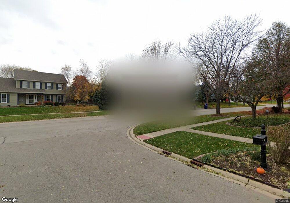
1120 Lewis Rd Geneva, IL 60134
Southwest Geneva NeighborhoodEstimated Value: $518,000 - $536,000
4
Beds
3
Baths
2,253
Sq Ft
$232/Sq Ft
Est. Value
About This Home
This home is located at 1120 Lewis Rd, Geneva, IL 60134 and is currently estimated at $523,282, approximately $232 per square foot. 1120 Lewis Rd is a home located in Kane County with nearby schools including Williamsburg Elementary School, Geneva Community High School, and St. Peter School.
Ownership History
Date
Name
Owned For
Owner Type
Purchase Details
Closed on
Dec 3, 2025
Sold by
Heath Deborah A
Bought by
Ronald L Heath And Deborah A Heath Revocable and Heath
Current Estimated Value
Purchase Details
Closed on
Nov 14, 2000
Sold by
Heath Ronald L and Heath Deborah A
Bought by
Heath Deborah A
Create a Home Valuation Report for This Property
The Home Valuation Report is an in-depth analysis detailing your home's value as well as a comparison with similar homes in the area
Home Values in the Area
Average Home Value in this Area
Purchase History
| Date | Buyer | Sale Price | Title Company |
|---|---|---|---|
| Ronald L Heath And Deborah A Heath Revocable | -- | None Listed On Document | |
| Heath Deborah A | -- | -- |
Source: Public Records
Tax History
| Year | Tax Paid | Tax Assessment Tax Assessment Total Assessment is a certain percentage of the fair market value that is determined by local assessors to be the total taxable value of land and additions on the property. | Land | Improvement |
|---|---|---|---|---|
| 2024 | $10,509 | $152,086 | $33,506 | $118,580 |
| 2023 | $10,216 | $131,860 | $30,460 | $101,400 |
| 2022 | $9,780 | $122,523 | $28,303 | $94,220 |
| 2021 | $9,491 | $117,969 | $27,251 | $90,718 |
| 2020 | $9,380 | $116,168 | $26,835 | $89,333 |
| 2019 | $9,355 | $113,969 | $26,327 | $87,642 |
| 2018 | $8,562 | $104,982 | $26,327 | $78,655 |
| 2017 | $8,465 | $102,182 | $25,625 | $76,557 |
| 2016 | $8,506 | $100,801 | $25,279 | $75,522 |
| 2015 | -- | $95,837 | $24,034 | $71,803 |
| 2014 | -- | $92,539 | $24,034 | $68,505 |
| 2013 | -- | $92,539 | $24,034 | $68,505 |
Source: Public Records
Map
Nearby Homes
- Unit 6A Prairie Grove Dr
- Unit 5B Prairie Grove Dr
- Unit 4A Prairie Grove Dr
- Unit 5A Prairie Grove Dr
- Unit 7A Prairie Grove Dr
- Unit 6C Prairie Grove Dr
- Unit 5C Prairie Grove Dr
- Unit 6B Prairie Grove Dr
- Unit 4C Prairie Grove Dr
- Unit 7C Prairie Grove Dr
- 839 S Randall Rd
- 2685 Cedar Ave
- 2782 Miller Rd
- 948 Bluestem Dr
- 869 Cambridge Dr
- 2250 South St
- 723 Branson Dr
- 2300 Kaneville Rd
- 1949 Gary Ln
- 449 Freedlund Course
- 2699 Danford Way
- 1140 Lewis Rd
- 2683 Danford Way
- 2697 Danford Way
- 2673 Danford Way
- 1125 Lewis Rd Unit 11
- 1150 Lewis Rd
- 1105 Lewis Rd
- 2669 Danford Way
- 2410 Highland Rd
- 1080 Lewis Rd
- 1155 Lewis Rd Unit 11
- 2696 Le Baron Ct Unit 5B
- 1170 Lewis Rd
- 1085 Lewis Rd
- 2682 Le Baron Ct
- 2663 Danford Way Unit 5A
- 2420 Highland Rd Unit 11
- 2680 Danford Way Unit 5B
- 2676 Danford Way
Your Personal Tour Guide
Ask me questions while you tour the home.