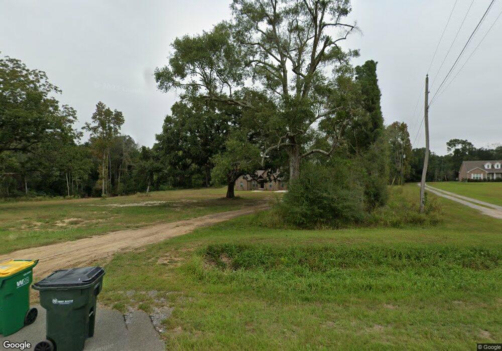
11201 Highway 614 Moss Point, MS 39562
Estimated Value: $327,263 - $485,000
--
Bed
3
Baths
2,612
Sq Ft
$151/Sq Ft
Est. Value
About This Home
This home is located at 11201 Highway 614, Moss Point, MS 39562 and is currently estimated at $393,316, approximately $150 per square foot. 11201 Highway 614 is a home located in Jackson County with nearby schools including East Central Lower Elementary School, East Central Upper Elementary School, and East Central Middle School.
Ownership History
Date
Name
Owned For
Owner Type
Purchase Details
Closed on
Jun 16, 2022
Sold by
Ethan Jones
Bought by
Jones Clifton E and Jones Dawn G
Current Estimated Value
Purchase Details
Closed on
Apr 5, 2022
Sold by
Jones Clifton G
Bought by
Jones Stacey and Jones Ethan
Home Financials for this Owner
Home Financials are based on the most recent Mortgage that was taken out on this home.
Original Mortgage
$299,100
Interest Rate
4.67%
Mortgage Type
New Conventional
Create a Home Valuation Report for This Property
The Home Valuation Report is an in-depth analysis detailing your home's value as well as a comparison with similar homes in the area
Home Values in the Area
Average Home Value in this Area
Purchase History
| Date | Buyer | Sale Price | Title Company |
|---|---|---|---|
| Jones Clifton E | -- | Island Winds Title | |
| Jones Stacey | -- | Island Winds Title | |
| Jones Stacey | -- | Island Winds Title |
Source: Public Records
Mortgage History
| Date | Status | Borrower | Loan Amount |
|---|---|---|---|
| Previous Owner | Jones Stacey | $299,100 |
Source: Public Records
Tax History Compared to Growth
Tax History
| Year | Tax Paid | Tax Assessment Tax Assessment Total Assessment is a certain percentage of the fair market value that is determined by local assessors to be the total taxable value of land and additions on the property. | Land | Improvement |
|---|---|---|---|---|
| 2024 | $1,721 | $16,836 | $1,728 | $15,108 |
| 2023 | $1,721 | $16,836 | $1,728 | $15,108 |
| 2022 | $2,060 | $17,661 | $2,553 | $15,108 |
| 2021 | $1,790 | $17,930 | $2,856 | $15,074 |
| 2020 | $1,712 | $16,659 | $2,645 | $14,014 |
| 2019 | $1,691 | $16,659 | $2,645 | $14,014 |
| 2018 | $1,729 | $16,659 | $2,645 | $14,014 |
| 2017 | $1,764 | $16,659 | $2,645 | $14,014 |
| 2016 | $1,682 | $16,659 | $2,645 | $14,014 |
| 2015 | $1,561 | $155,610 | $26,450 | $129,160 |
| 2014 | $1,582 | $16,017 | $2,645 | $13,372 |
| 2013 | $1,343 | $14,467 | $2,116 | $12,351 |
Source: Public Records
Map
Nearby Homes
- 19255 Eli Dudley Rd
- 2966 Harmon Williams Rd
- 15250 Deer Run Dr S
- 14201 Airport Blvd
- 21551 John Holder Rd
- 22020 John Holder Rd
- 0 Dap Rd E
- 7805 Songbird Ln
- 0 Rayford Shumock Rd Unit 24406728
- 0 Rayford Shumock Rd Unit 4121875
- -0- Rayford Shumock Rd
- 01 Dap Rd E
- 8012 Coleman Homestead Rd
- 18517 Goff Farm Rd
- 8200 Butler Rd
- 17500 Goff Farm Rd
- 14151 Driskell Dairy Rd
- 2995 Barlett Dr
- 2865 Barlett Dr
- 0 Mississippi 614
- 11105 Highway 614
- 11100 Highway 614
- 11108 Highway 614
- 8.79 Acres Hwy 614
- 11033 Highway 614
- 11225 Highway 614
- 11029 Highway 614
- 11233 Highway 614
- 11220 Highway 614
- 11160 Highway 614
- 11325 Highway 614
- 11020 Highway 614
- 10937 Highway 614
- 11326 Highway 614
- 10950 Highway 614
- 11401 Highway 614
- 11400 Highway 614
- 10852 Highway 614
- 10852 Highway 614
- 11420 Highway 614