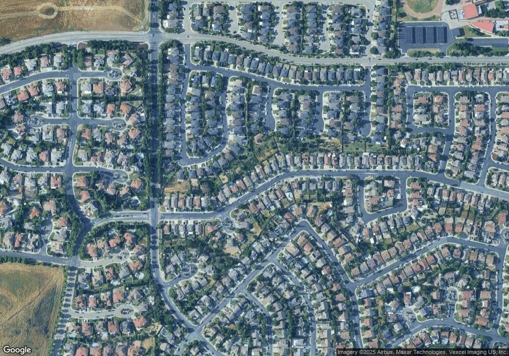
1121 Rockspring Way Antioch, CA 94531
Lone Tree Valley NeighborhoodEstimated Value: $606,329 - $687,000
3
Beds
3
Baths
1,631
Sq Ft
$386/Sq Ft
Est. Value
About This Home
This home is located at 1121 Rockspring Way, Antioch, CA 94531 and is currently estimated at $629,332, approximately $385 per square foot. 1121 Rockspring Way is a home located in Contra Costa County with nearby schools including Lone Tree Elementary School, Dallas Ranch Middle School, and Deer Valley High School.
Ownership History
Date
Name
Owned For
Owner Type
Purchase Details
Closed on
Jul 8, 2019
Sold by
Bagalay Maricor T
Bought by
Montano Ricky and Montano Monica I
Current Estimated Value
Home Financials for this Owner
Home Financials are based on the most recent Mortgage that was taken out on this home.
Original Mortgage
$418,000
Outstanding Balance
$365,296
Interest Rate
3.7%
Mortgage Type
New Conventional
Estimated Equity
$264,036
Purchase Details
Closed on
Apr 23, 2015
Sold by
Henriquez Jose Erick
Bought by
Bagalay Maricor T
Home Financials for this Owner
Home Financials are based on the most recent Mortgage that was taken out on this home.
Original Mortgage
$244,000
Interest Rate
3.8%
Mortgage Type
New Conventional
Purchase Details
Closed on
Jan 6, 2012
Sold by
Brkich Michael C and Tenenbaum Jay M
Bought by
Henriquez Jose Erick
Purchase Details
Closed on
Nov 3, 2011
Sold by
Gryphon Solutions Llc
Bought by
Brkich Michael C and Tenenbaum Jay M
Purchase Details
Closed on
Aug 12, 2011
Sold by
Henriquez Jose and Henriquez Jose Erick
Bought by
Gryphon Solutions Llc
Purchase Details
Closed on
Jul 9, 2009
Sold by
Gard David and Gard Karen
Bought by
Henriquez Jose Erick
Home Financials for this Owner
Home Financials are based on the most recent Mortgage that was taken out on this home.
Original Mortgage
$208,523
Interest Rate
5.25%
Mortgage Type
FHA
Purchase Details
Closed on
Aug 4, 2000
Sold by
Paul Gard David and Paul Karen
Bought by
Gard David and Gard Karen
Purchase Details
Closed on
Oct 22, 1997
Sold by
Kaufman & Broad Of Northern Ca Inc
Bought by
Gard David Paul and Gard Karen
Home Financials for this Owner
Home Financials are based on the most recent Mortgage that was taken out on this home.
Original Mortgage
$113,700
Interest Rate
7.26%
Mortgage Type
Purchase Money Mortgage
Create a Home Valuation Report for This Property
The Home Valuation Report is an in-depth analysis detailing your home's value as well as a comparison with similar homes in the area
Home Values in the Area
Average Home Value in this Area
Purchase History
| Date | Buyer | Sale Price | Title Company |
|---|---|---|---|
| Montano Ricky | $468,000 | North American Title Co Inc | |
| Bagalay Maricor T | $305,000 | North American Title | |
| Henriquez Jose Erick | -- | None Available | |
| Brkich Michael C | -- | None Available | |
| Gryphon Solutions Llc | $13,040 | None Available | |
| Henriquez Jose Erick | $230,000 | Fidelity National Title Co | |
| Gard David | -- | -- | |
| Gard David Paul | $159,000 | First American Title Guarant |
Source: Public Records
Mortgage History
| Date | Status | Borrower | Loan Amount |
|---|---|---|---|
| Open | Montano Ricky | $418,000 | |
| Previous Owner | Bagalay Maricor T | $244,000 | |
| Previous Owner | Henriquez Jose Erick | $208,523 | |
| Previous Owner | Gard David Paul | $113,700 |
Source: Public Records
Tax History Compared to Growth
Tax History
| Year | Tax Paid | Tax Assessment Tax Assessment Total Assessment is a certain percentage of the fair market value that is determined by local assessors to be the total taxable value of land and additions on the property. | Land | Improvement |
|---|---|---|---|---|
| 2025 | $5,906 | $511,822 | $164,045 | $347,777 |
| 2024 | $5,696 | $501,787 | $160,829 | $340,958 |
| 2023 | $5,696 | $491,949 | $157,676 | $334,273 |
| 2022 | $5,607 | $482,304 | $154,585 | $327,719 |
| 2021 | $5,441 | $472,848 | $151,554 | $321,294 |
| 2019 | $3,895 | $328,601 | $88,883 | $239,718 |
| 2018 | $3,748 | $322,159 | $87,141 | $235,018 |
| 2017 | $3,669 | $315,843 | $85,433 | $230,410 |
| 2016 | $3,576 | $309,651 | $83,758 | $225,893 |
| 2015 | $2,740 | $198,567 | $45,983 | $152,584 |
| 2014 | $3,088 | $194,679 | $45,083 | $149,596 |
Source: Public Records
Map
Nearby Homes
- 1157 Rockspring Way
- 4064 Montgomery Hill Dr
- 5023 Vesteny Ct
- 5004 Star Mine Way
- 1071 Stonecrest Dr
- 1153 Stonecrest Dr
- 4721 Torreys Peak Ct
- 5106 Watkings Way
- 4925 Cache Peak Dr
- 1525 Barkley Mountain Way
- 4836 Belford Peak Way
- 5243 Delta View Way
- 4864 Belford Peak Way
- 5065 Carbondale Way
- 1333 Mokelumne Dr
- 4688 Matterhorn Way
- 5152 Cutler Ct
- 1856 Buck Mountain Ct
- 1914 Table Mountain Way
- 1838 Buck Mountain Ct
- 1117 Rockspring Way
- 1125 Rockspring Way
- 1129 Rockspring Way
- 1113 Rockspring Way
- 1133 Rockspring Way
- 1109 Rockspring Way
- 4135 Mount Isabel Rd
- 4139 Mount Isabel Rd
- 4143 Mount Isabel Rd
- 1105 Rockspring Way
- 1137 Rockspring Way
- 1120 Rockspring Way
- 1124 Rockspring Way
- 4138 Honey Dew Ct
- 1116 Rockspring Way
- 1128 Rockspring Way
- 4147 Mount Isabel Rd
- 1132 Rockspring Way
- 1112 Rockspring Way
- 1028 Amberwood Ct
