1122 Hubbard Rd Galloway, OH 43119
Estimated Value: $506,000 - $567,000
2
Beds
2
Baths
2,212
Sq Ft
$238/Sq Ft
Est. Value
About This Home
This home is located at 1122 Hubbard Rd, Galloway, OH 43119 and is currently estimated at $525,398, approximately $237 per square foot. 1122 Hubbard Rd is a home with nearby schools including Brown Elementary School, Hilliard Station Sixth Grade Elementary School, and Hilliard Memorial Middle School.
Ownership History
Date
Name
Owned For
Owner Type
Purchase Details
Closed on
May 13, 2022
Sold by
Hoffman Carol L
Bought by
Hoffman Ruth A
Current Estimated Value
Purchase Details
Closed on
Apr 22, 2022
Sold by
Hoffman Carol L
Bought by
Hoffman Ruth A
Purchase Details
Closed on
Apr 15, 2021
Sold by
Triplett Carmen Kaye
Bought by
Hoffman Ruth A and Hoffman Carol L
Purchase Details
Closed on
Mar 18, 1993
Bought by
Triplett Carmen K
Create a Home Valuation Report for This Property
The Home Valuation Report is an in-depth analysis detailing your home's value as well as a comparison with similar homes in the area
Home Values in the Area
Average Home Value in this Area
Purchase History
| Date | Buyer | Sale Price | Title Company |
|---|---|---|---|
| Hoffman Ruth A | $678,500 | Steptoe & Johnson Pllc | |
| Hoffman Ruth A | $678,500 | Steptoe & Johnson Pllc | |
| Hoffman Ruth A | $475,000 | Midland Title West Llc | |
| Triplett Carmen K | -- | -- |
Source: Public Records
Tax History Compared to Growth
Tax History
| Year | Tax Paid | Tax Assessment Tax Assessment Total Assessment is a certain percentage of the fair market value that is determined by local assessors to be the total taxable value of land and additions on the property. | Land | Improvement |
|---|---|---|---|---|
| 2024 | $8,386 | $135,070 | $36,020 | $99,050 |
| 2023 | $7,537 | $152,075 | $53,025 | $99,050 |
| 2022 | $7,418 | $110,340 | $28,680 | $81,660 |
| 2021 | $7,421 | $110,340 | $28,680 | $81,660 |
| 2020 | $8,394 | $124,360 | $42,700 | $81,660 |
| 2019 | $8,513 | $107,880 | $37,140 | $70,740 |
| 2018 | $8,409 | $107,880 | $37,140 | $70,740 |
| 2017 | $8,490 | $107,880 | $37,140 | $70,740 |
| 2016 | $8,799 | $103,540 | $18,100 | $85,440 |
| 2015 | $8,326 | $103,540 | $18,100 | $85,440 |
| 2014 | $8,351 | $103,540 | $18,100 | $85,440 |
| 2013 | $3,829 | $98,595 | $17,220 | $81,375 |
Source: Public Records
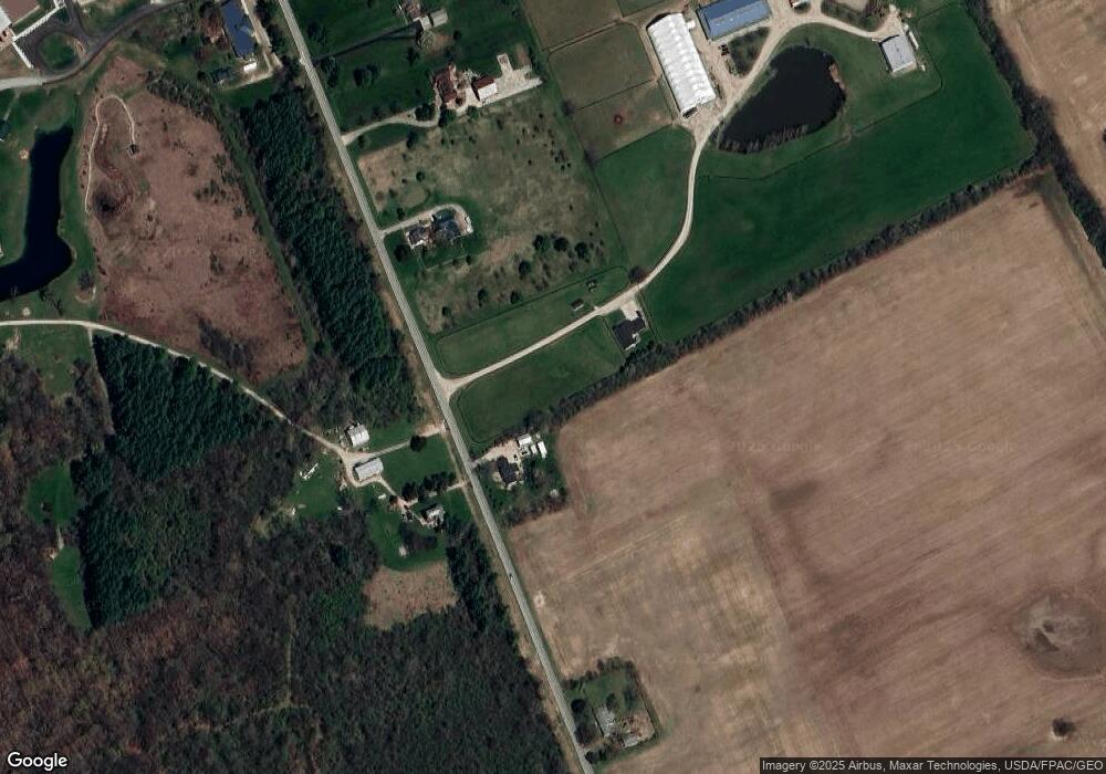
Map
Nearby Homes
- 1280 Four Star Dr W
- 8654 Cadet Dr N
- 1278 Lieutenant Dr
- 8528 Cadence Dr
- 8520 Cadence Dr
- 0 Dellinger Rd Unit 9 2030113
- 8333 Squad Dr
- 8421 Union Dr
- 756 Infantry Dr
- 9519 High Free Pike
- 8527 Carbine Place
- 8626 Fairbrook Ave
- 287 Greenlake St
- 8482 Dover Crest Ct
- 318 Kellybrook Place
- 8595 Abbot Cove Ave
- 360 State Route 142 NE
- 2263 Amity Rd
- 70 Riverside Dr
- 270 State Route 142 NE
- 1100 Hubbard Rd
- 1182 Hubbard Rd
- 1300 Hubbard Rd
- 1246 Hubbard Rd
- 1150 Hubbard Rd
- 1006 Hubbard Rd
- 1270 Hubbard Rd
- 1296 Hubbard Rd
- 1306 Hubbard Rd
- 1362 Hubbard Rd
- 8858 Stillwater Dr
- 8866 Stillwater Dr
- 8626 Army Place
- 8874 Stillwater Dr
- 8633 Army Place
- 8882 Stillwater Dr
- 8620 Army Place
- 8890 Stillwater Dr
- 914 Slagle Place
- 919 Slagle Place