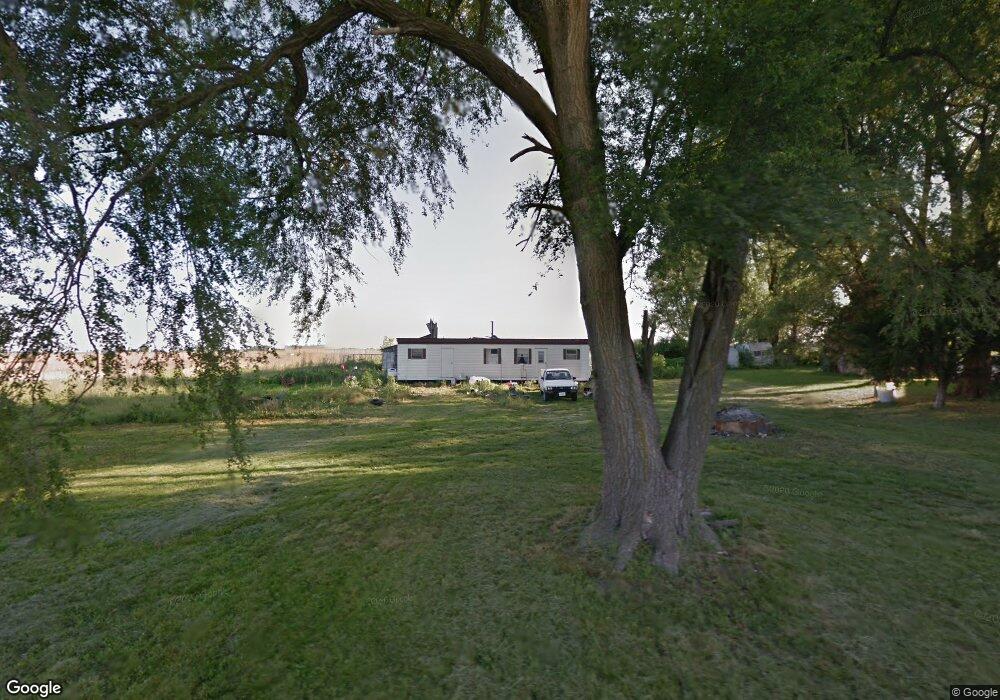
11220 River Rd Niantic, IL 62551
Estimated Value: $38,000 - $81,000
Studio
--
Bath
704
Sq Ft
$71/Sq Ft
Est. Value
About This Home
This home is located at 11220 River Rd, Niantic, IL 62551 and is currently estimated at $50,082, approximately $71 per square foot. 11220 River Rd is a home located in Macon County.
Ownership History
Date
Name
Owned For
Owner Type
Purchase Details
Closed on
Jun 4, 2024
Sold by
White David L
Bought by
White Lisa M
Current Estimated Value
Purchase Details
Closed on
Jul 5, 2013
Sold by
Clayton Virginia O and Dingman Bobbie
Bought by
White David L and White Lisa M
Home Financials for this Owner
Home Financials are based on the most recent Mortgage that was taken out on this home.
Original Mortgage
$20,000
Interest Rate
5.5%
Mortgage Type
Future Advance Clause Open End Mortgage
Purchase Details
Closed on
Jul 1, 1991
Create a Home Valuation Report for This Property
The Home Valuation Report is an in-depth analysis detailing your home's value as well as a comparison with similar homes in the area
Purchase History
| Date | Buyer | Sale Price | Title Company |
|---|---|---|---|
| White Lisa M | -- | None Listed On Document | |
| White David L | $20,000 | None Available | |
| -- | $15,000 | -- |
Source: Public Records
Mortgage History
| Date | Status | Borrower | Loan Amount |
|---|---|---|---|
| Previous Owner | White David L | $20,000 |
Source: Public Records
Tax History
| Year | Tax Paid | Tax Assessment Tax Assessment Total Assessment is a certain percentage of the fair market value that is determined by local assessors to be the total taxable value of land and additions on the property. | Land | Improvement |
|---|---|---|---|---|
| 2024 | $911 | $17,495 | $9,112 | $8,383 |
| 2023 | $1,262 | $22,231 | $8,810 | $13,421 |
| 2022 | $0 | $20,558 | $8,147 | $12,411 |
| 2021 | $1,001 | $19,528 | $7,739 | $11,789 |
| 2020 | $1,001 | $23,164 | $7,293 | $15,871 |
| 2019 | $1,001 | $23,164 | $7,293 | $15,871 |
| 2018 | $0 | $22,614 | $7,120 | $15,494 |
| 2017 | $1,001 | $22,709 | $7,150 | $15,559 |
| 2016 | $1,011 | $22,681 | $7,141 | $15,540 |
| 2015 | $453 | $16,307 | $6,933 | $9,374 |
| 2014 | $635 | $16,145 | $6,864 | $9,281 |
| 2013 | $464 | $16,145 | $6,864 | $9,281 |
Source: Public Records
Map
Nearby Homes
- 1359 S Bridge Rd
- 295 N Pritchett St
- 108 N Folly St
- 223 W Montgomery St
- 13505 W Long Point Rd
- 0 Bill Wall Dr
- 3335 Nevada Rd
- 275 N Camp St
- 1955 E 2700 North Rd
- Mosquito Creek Rd
- 5595 W Main St
- 5879 Public Rd
- 420 6th St
- 414 5th St
- 6 W Westway Dr
- 212 S Anchor Rd
- 113 Prairie Run
- 116 E Center St
- 1068 Cornell Dr
- 220 Lincoln
- 11187 River Rd
- 2063 S Meridian Ave
- 11078 Appleville Rd
- 3065 N 2100 East Rd
- 2054 E 3050 North Rd
- 2054 E 3050 North Rd
- 3170 S Meridian Ave
- 10855 Pebble Rd
- 2037 E 3050 North Rd
- 2037 E 3050 North Rd
- 2064 E 3050 North Rd
- 2064 E 3050 North Rd
- 11014 Appleville Rd
- 1997 E 3110 North Rd
- 10976 Appleville Rd
- 10942 Appleville Rd
- 1998 E 3110 North Rd
- 10580 Pebble Rd
- 10808 Appleville Rd
Your Personal Tour Guide
Ask me questions while you tour the home.