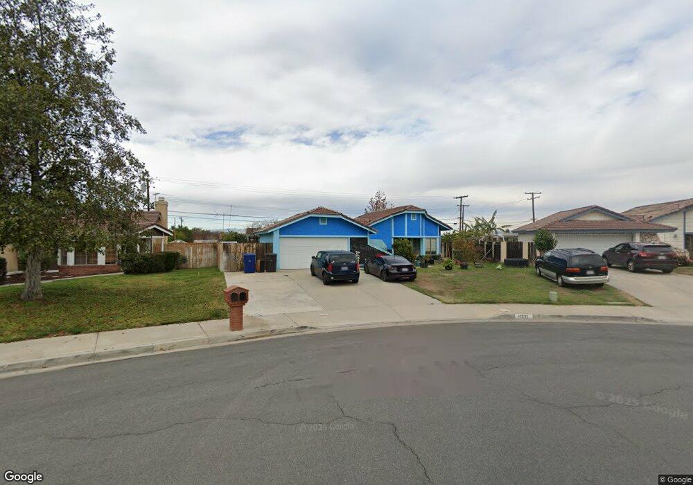
11221 Heathrow Dr Riverside, CA 92503
La Sierra South NeighborhoodEstimated Value: $600,000 - $630,000
3
Beds
2
Baths
1,280
Sq Ft
$477/Sq Ft
Est. Value
About This Home
This home is located at 11221 Heathrow Dr, Riverside, CA 92503 and is currently estimated at $610,472, approximately $476 per square foot. 11221 Heathrow Dr is a home located in Riverside County with nearby schools including Alan Orrenmaa Elementary School, Arizona Middle School, and Hillcrest High School.
Ownership History
Date
Name
Owned For
Owner Type
Purchase Details
Closed on
Sep 9, 2002
Sold by
Senkbeil Keith and Senkbeil Susan
Bought by
Gin Kenneth M and Gin Lori A
Current Estimated Value
Home Financials for this Owner
Home Financials are based on the most recent Mortgage that was taken out on this home.
Original Mortgage
$186,100
Outstanding Balance
$77,343
Interest Rate
6.17%
Mortgage Type
FHA
Estimated Equity
$533,129
Create a Home Valuation Report for This Property
The Home Valuation Report is an in-depth analysis detailing your home's value as well as a comparison with similar homes in the area
Home Values in the Area
Average Home Value in this Area
Purchase History
| Date | Buyer | Sale Price | Title Company |
|---|---|---|---|
| Gin Kenneth M | $194,000 | Commonwealth Land Title Co |
Source: Public Records
Mortgage History
| Date | Status | Borrower | Loan Amount |
|---|---|---|---|
| Open | Gin Kenneth M | $186,100 |
Source: Public Records
Tax History
| Year | Tax Paid | Tax Assessment Tax Assessment Total Assessment is a certain percentage of the fair market value that is determined by local assessors to be the total taxable value of land and additions on the property. | Land | Improvement |
|---|---|---|---|---|
| 2025 | $3,351 | $283,847 | $86,884 | $196,963 |
| 2023 | $3,351 | $272,826 | $83,511 | $189,315 |
| 2022 | $3,099 | $267,477 | $81,874 | $185,603 |
| 2021 | $3,054 | $262,233 | $80,269 | $181,964 |
| 2020 | $3,005 | $259,545 | $79,446 | $180,099 |
| 2019 | $2,964 | $254,457 | $77,889 | $176,568 |
| 2018 | $2,922 | $249,468 | $76,363 | $173,105 |
| 2017 | $2,867 | $244,577 | $74,866 | $169,711 |
| 2016 | $2,818 | $239,783 | $73,399 | $166,384 |
| 2015 | $2,776 | $236,184 | $72,298 | $163,886 |
| 2014 | $2,765 | $231,560 | $70,883 | $160,677 |
Source: Public Records
Map
Nearby Homes
- 11383 Millard Dr
- 10997 Cedarhurst Way
- 3445 Sparrow Cir
- 3103 Eastman Ct
- 3282 Gallion Cir
- 3415 Revere Rd
- 11641 Hartford Ct
- 3666 Ada Ct
- 3579 Paine Dr
- 2634 Old Windmill Ct
- 3701 Fillmore St Unit 64
- 3701 Fillmore St Unit 36
- 11135 Old Fashion Way
- 11140 Old Fashion Way
- 10920 Magnolia Ave
- 10535 Salisbury Dr
- 3549 Polk St
- 11116 Wayfield Rd
- 2557 Braden Place
- 0 Summer Springs Way Unit IV25084141
- 11231 Heathrow Dr
- 3195 Weatherby Dr
- 11222 Cambridge St
- 11210 Cambridge St
- 11234 Cambridge St
- 11241 Heathrow Dr
- 3185 Weatherby Dr
- 11246 Cambridge St
- 3175 Weatherby Dr
- 11251 Heathrow Dr
- 11230 Heathrow Dr
- 11200 Cambridge St
- 11240 Heathrow Dr
- 11223 Cambridge St
- 3196 Wicklow Dr
- 11211 Cambridge St
- 3165 Weatherby Dr
- 11256 Cambridge St
- 11261 Heathrow Dr
- 3186 Wicklow Dr
Your Personal Tour Guide
Ask me questions while you tour the home.